Politischer Bezirk Imst
Situé dans Tyrol, Autriche Coordonnées: 47°05′00″ N 10°52′00″ E
Le nom de ce lieu n'a pas encore été vérifié dans cette langue ; il est affiché sous sa forme d'origine.
- Population
- 58 982
- 59 k
- Altitude
- 2 627 m
- au-dessus du niveau de la mer
- Heure locale
- UTC+01:00
- Europe/Vienna · UTC+01:00
- Lieux rattachés
- 24
- classés sous Politischer Bezirk Imst
À propos : Politischer Bezirk Imst
Politischer Bezirk Imst est un district. Situation : Tyrol, Autriche. Population : 58 982.
En comparaison
- 34 sites et lieux naturels à moins de 10 km Wilder See, Blockkogel
- Recensés ici : Commune: 24
Lieux : Politischer Bezirk Imst
24 lieux-
Imst Commune10,5 k
-
Haiming Commune4,6 k
-
Langenfeld Commune4,6 k
-
Mieming Commune3,7 k
-
Umhausen Commune3,2 k
-
Sölden Commune3,1 k
-
Arzl im Pitztal Commune3,1 k
-
Tarrenz Commune2,7 k
-
Silz Commune2,5 k
-
Oetz Commune2,4 k
-
Rietz Commune2,3 k
-
Nassereith Commune2,1 k
-
Wenns Commune2 k
-
Roppen Commune1,8 k
-
Sautens Commune1,6 k
-
Stams Commune1,5 k
-
St. Leonhard im Pitztal Commune1,4 k
-
Obsteig Commune1,3 k
-
Mötz Commune1,2 k
-
Jerzens Commune975
-
Imsterberg Commune777
-
Karrösten Commune676
-
Karres Commune609
-
Mils bei Imst Commune568
Nature et patrimoine : Politischer Bezirk Imst
-
Wildspitze Montagne, St. Leonhard im Pitztal
-
Zuckerhütl Montagne, Sölden
-
Talleitspitze Montagne, Sölden
-
Seekogel Montagne, St. Leonhard im Pitztal
-
Tschirgant Montagne, Karres
-
Strahlkogel Montagne, Umhausen
Sites et nature à proximité
Tout ce qui est proche-
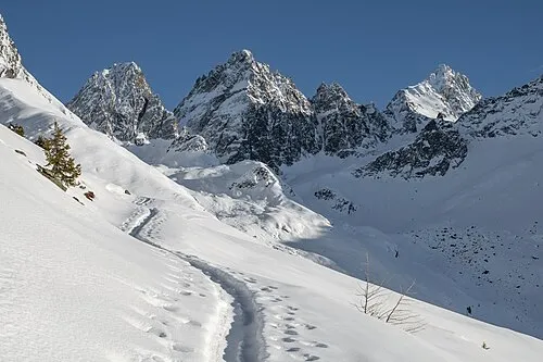 Großer Dristkogel Montagne, Kaunertal6,3 km SO
-
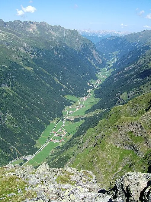 Pitztal Site naturel, Tyrol7,3 km NO
-
Peischlkopf Montagne, Kaunerberg6,6 km O
-
Gsahlkopf Montagne, Kaunertal7,5 km SO
-
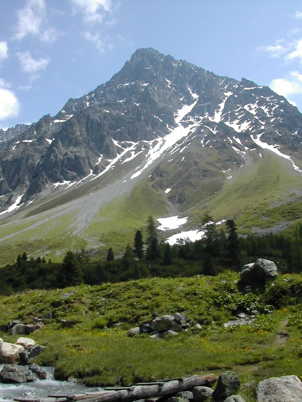 Schwabenkopf Montagne, Kaunertal10 km SO
-
Hohe Aifner Spitze Montagne, Kaunerberg11 km O
Sources et licences
Données mises à jour le: