Politischer Bezirk Kitzbühel
Situé dans Tyrol, Autriche Coordonnées: 47°26′00″ N 12°23′00″ E
Le nom de ce lieu n'a pas encore été vérifié dans cette langue ; il est affiché sous sa forme d'origine.
- Population
- 63 489
- 63,5 k
- Altitude
- 1 085 m
- au-dessus du niveau de la mer
- Heure locale
- UTC+01:00
- Europe/Vienna · UTC+01:00
- Lieux rattachés
- 20
- classés sous Politischer Bezirk Kitzbühel
À propos : Politischer Bezirk Kitzbühel
Politischer Bezirk Kitzbühel est un district. Situation : Tyrol, Autriche. Population : 63 489.
En comparaison
- 45 sites et lieux naturels à moins de 10 km Lebenberg, Jochberger Ache
- Recensés ici : Commune: 20
Lieux : Politischer Bezirk Kitzbühel
20 lieux-
St. Johann in Tirol Commune9,4 k
-
Kitzbühel Commune8,3 k
-
Hopfgarten im Brixental Commune5,6 k
-
Kirchberg in Tirol Commune5,2 k
-
Kössen Commune4,3 k
-
Fieberbrunn Commune4,2 k
-
Kirchdorf in Tirol Commune4 k
-
Westendorf Commune3,7 k
-
Brixen im Thale Commune2,6 k
-
Oberndorf in Tirol Commune2,2 k
-
Waidring Commune2 k
-
Going am Wilden Kaiser Commune1,9 k
-
St. Ulrich am Pillersee Commune1,8 k
-
Reith bei Kitzbühel Commune1,6 k
-
Jochberg Commune1,6 k
-
Hochfilzen Commune1,2 k
-
Itter Commune1,2 k
-
Aurach bei Kitzbühel Commune1,1 k
-
Schwendt Commune823
-
St. Jakob in Haus Commune772
Nature et patrimoine : Politischer Bezirk Kitzbühel
-
Steinplatte Montagne, Waidring
-
Ochsenkopf Montagne, Hopfgarten im Brixental
-
Nachtsöllberg Montagne, Brixen im Thale
-
Karstein Montagne, Kitzbühel
-
Steinbergkogel Montagne, Jochberg
-
Schwarzkogel Montagne, Jochberg
Sites et nature à proximité
Tout ce qui est proche-
Jochbergtal Site naturel, Tyrol7,8 km S
-
Sölllandl Site naturel, Tyrol14 km NO
-
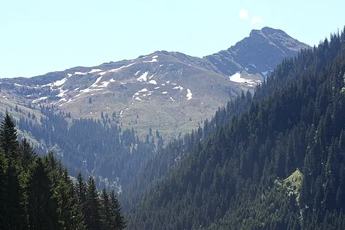 Staffkogel Montagne, Saalbach-Hinterglemm10 km SE
-
Alpes de Kitzbühel Montagne, Tyrol12 km S
-
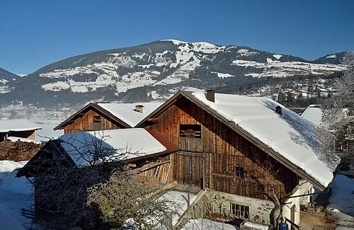 Resterhöhe Montagne, Bramberg am Wildkogel15 km S
Sources et licences
Données mises à jour le: