Bartholomäberg
Situé dans Bludenz District, Vorarlberg Coordonnées: 47°06′24″ N 9°55′02″ E
Le nom de ce lieu n'a pas encore été vérifié dans cette langue ; il est affiché sous sa forme d'origine.
- Population
- 2 342
- 2,3 k
- Altitude
- 1 762 m
- au-dessus du niveau de la mer
- Heure locale
- UTC+01:00
- Europe/Vienna · UTC+01:00
- Lieux rattachés
- 16
- classés sous Bartholomäberg
À propos : Bartholomäberg
Bartholomäberg est une commune. Situation : Bludenz District, Vorarlberg. Population : 2 342. Altitude : 1 762 m.
En comparaison
- Bludenz District : n° 9 sur 29 lieux par population
- Localité plus grande la plus proche : Schruns, à 3 km (S)
- 121 sites et lieux naturels à moins de 10 km Monteneu, Wannaköpfle
- Recensés ici : Montagne: 13, Village: 3
Lieux : Bartholomäberg
16 lieux-
Bartholomäberg Village2,3 k
-
Alpilakopf (Verwall) Montagne
-
Davenna Montagne
-
Hüehnerwand Montagne
-
Innerberg Village
-
Itonskopf Montagne
-
Jetzmunt Village
-
Köpfle Montagne
-
Latonser Mittagspitz Montagne
-
Latonskopf Montagne
-
Monteneu Montagne
-
Schwarzhorn Montagne
-
Sonntagskopf Montagne
-
Spitzguf Montagne
-
Wannaköpfle Montagne
-
Zwölferkopf Montagne
Sites et nature à proximité
Tout ce qui est proche-
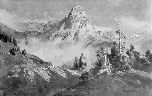 Roggelskopf Montagne, Innerbraz6 km NE
-
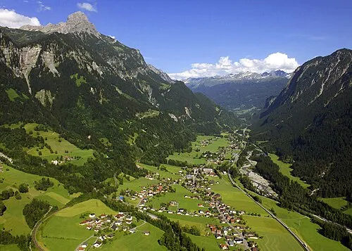 Klostertal Site naturel, Vorarlberg5,8 km NE
-
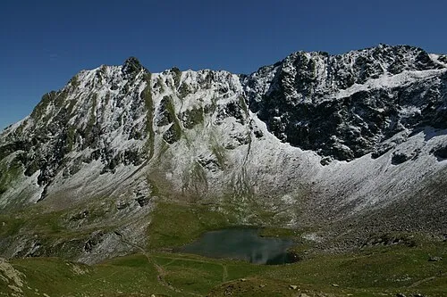 Hochjoch Montagne, Silbertal7 km SE
-
Schafberg Montagne, Innerbraz7,1 km N
-
Silbertal Site naturel, Vorarlberg8 km E
Sources et licences
Données mises à jour le: