Gaschurn
Situé dans Bludenz District, Vorarlberg Coordonnées: 46°56′45″ N 10°04′15″ E
Le nom de ce lieu n'a pas encore été vérifié dans cette langue ; il est affiché sous sa forme d'origine.
- Population
- 1 486
- 1,5 k
- Altitude
- 1 534 m
- au-dessus du niveau de la mer
- Heure locale
- UTC+01:00
- Europe/Vienna · UTC+01:00
- Lieux rattachés
- 74
- classés sous Gaschurn
À propos : Gaschurn
Gaschurn est une commune. Situation : Bludenz District, Vorarlberg. Population : 1 486. Altitude : 1 534 m.
En comparaison
- Bludenz District : n° 15 sur 29 lieux par population
- Localité plus grande la plus proche : Sankt Gallenkirch, à 10 km (NO)
- 157 sites et lieux naturels à moins de 10 km Zaferna, Crisper Spitze
- Recensés ici : Montagne: 58, Village: 9, Site naturel: 5, Lac: 2
Lieux : Gaschurn
74 lieux-
Gaschurn Village1,1 k
-
Partenen Village373
-
Alpilakopf Montagne
-
Aussergosten Village
-
Bieltalkopf Montagne
-
Blödigturm Montagne
-
Bofen Village
-
Breiter Spitz Montagne
-
Breitfielerberg Montagne
-
Breitspitze /Breiter Spitz Montagne
-
Brüllender See Lac
-
Crisper Spitze Montagne
-
Fädner Spitze Montagne
-
Fluh Montagne
-
Giampkopf Montagne
-
Giampspitze Montagne
-
Glötterspitze Montagne
-
Grüne Kuppe Montagne
-
Gufelgut Village
-
Gundalatscher Berg Montagne
-
Hintere Lobspitze Montagne
-
Hochmaderer Montagne
-
Ill Ursprung Site naturel
-
Innergosten Village
-
Kleine Egghörner Montagne
-
Kleine Lobspitze Montagne
-
Kleine Valülla Montagne
-
Kleinlitzner Montagne
-
Klostertaler Egghorn Montagne
-
Klostertaler Gletscher Site naturel
-
Kresperspitze Montagne
-
Kromer Gletscher Site naturel
-
Lobturm Montagne
-
Matschuner Jöchli Montagne
-
Matschuner Kopf Montagne
-
Mittelberg Montagne
-
Mittlere Lobspitze Montagne
-
Nördl. Kl. Klostert Egghorn Montagne
-
Ochsentaler Gletscher Site naturel
-
Östlicher Fanesklakopf Montagne
-
Pfanges Village
-
Piz Buin Montagne
-
Radkopf Montagne
-
Rifen Village
-
Rotfluh Montagne
-
Sattelkopf Montagne
-
Schafboden Montagne
-
Schafbodenkopf Montagne
-
Schattenkopf Montagne
-
Schattenspitze Montagne
-
Schneeglocke Montagne
-
Schwarze Wand Montagne
-
Schweizer Gletscher Site naturel
-
Silvrettadorf Village
-
Silvrettahorn Montagne
-
Stritkopf Montagne
-
Südliche Valgraggesspitze Montagne
-
Tafamunter Augstenberg Montagne
-
Tirolerkopf Montagne
Sites et nature à proximité
Tout ce qui est proche-
Großvermunt Site naturel, Vorarlberg3,6 km SO
-
Kleinvermunt Site naturel, Tyrol4,8 km E
-
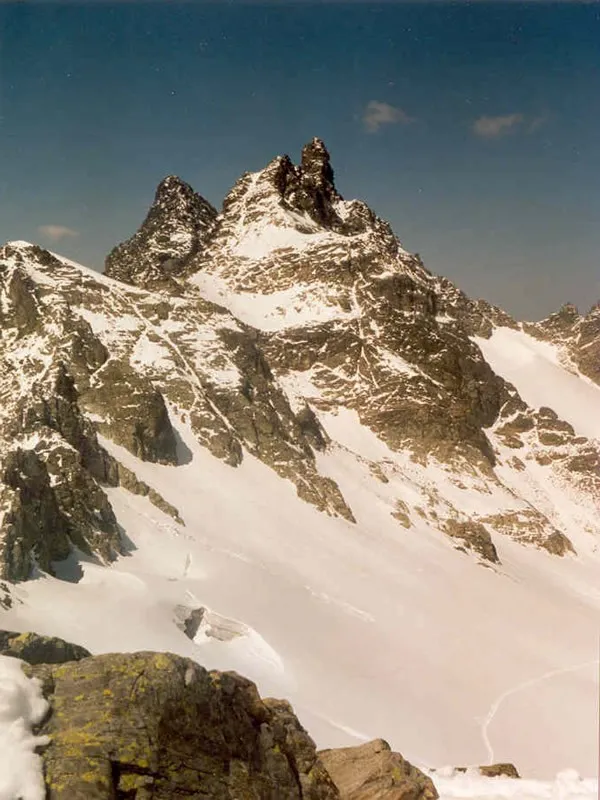 Gross Litzner Montagne, Klosters7,1 km S
-
Hennespitze Montagne, Galtür5,8 km SE
-
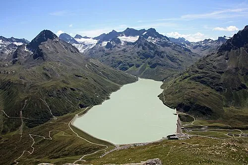 Ochsental Site naturel, Vorarlberg7,3 km S
-
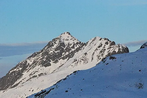 Hochnörderer Montagne, Galtür7,3 km E
-
Bodmerspitze Montagne, Vorarlberg6,9 km SE
-
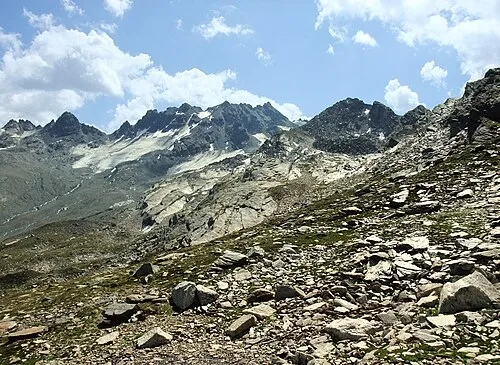 Hennebergspitzen Montagne, Galtür7,9 km SE
Sources et licences
Données mises à jour le: