Hyldeholm
Situé dans Frederikssund Kommune, Hovedstaden Coordonnées: 55°47′38″ N 12°03′45″ E
- Heure locale
- UTC+01:00
- Europe/Copenhagen · UTC+01:00
À propos : Hyldeholm
Hyldeholm est une île. Situation : Frederikssund Kommune, Hovedstaden.
En comparaison
- 9 sites et lieux naturels à moins de 10 km Kølholm, Stenø
Villes et villages les plus proches
-
Frederikssund Ville, Frederikssund Kommune5,1 km N
-
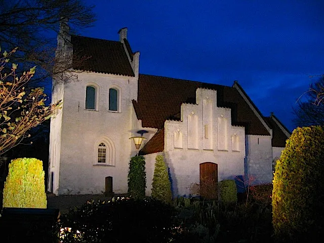 Jyllinge Petite ville, Roskilde Kommune5,2 km SE
-
Skuldelev Village, Frederikssund Kommune3,2 km SO
-
Skibby Village, Frederikssund Kommune8 km SO
-
Jægerspris Village, Frederikssund Kommune8,1 km NO
-
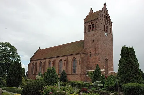 Slangerup Petite ville, Frederikssund Kommune9,8 km NE
Sites et nature à proximité
Tout ce qui est proche-
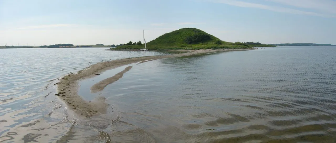 Kølholm Île, Frederikssund Kommune1,2 km N
-
Stenø Île, Frederikssund Kommune2,4 km N
-
Lilleø Île, Roskilde Kommune4,9 km SE
-
Danshøj Montagne, Frederikssund Kommune7,2 km N
-
Thyrahøj Montagne, Frederikssund Kommune7,3 km NO
-
Skyhøj Montagne, Egedal Kommune6,8 km E
-
Spraglehøj Montagne, Roskilde Kommune6,8 km SE
-
Stenesknold Montagne, Frederikssund Kommune9,1 km E
Sources et licences
Données mises à jour le: · 2 sources indépendantes