Elmebakke
Situé dans Sorø Kommune, Sjælland Coordonnées: 55°30′37″ N 11°33′26″ E
- Altitude
- 52 m
- au-dessus du niveau de la mer
- Heure locale
- UTC+01:00
- Europe/Copenhagen · UTC+01:00
À propos : Elmebakke
Elmebakke est une montagne. Situation : Sorø Kommune, Sjælland. Altitude : 52 m.
En comparaison
- Langeskov : n° 143 sur 271 sommets par altitude
Villes et villages les plus proches
-
Vedde Village, Sorø Kommune2,5 km N
-
Stenlille Village, Sorø Kommune3,8 km NE
-
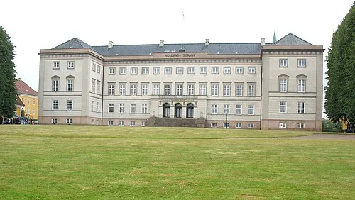 Sorø Ville, Sorø Kommune8,7 km S
-
Frederiksberg Village, Sorø Kommune11 km S
-
Store Merløse Village, Holbæk Kommune11 km E
-
Undløse Village, Holbæk Kommune11 km N
Sites et nature à proximité
Tout ce qui est proche-
Maglebjerg Montagne, Holbæk Kommune11 km NE
-
Bavnen Montagne, Slagelse Kommune15 km O
-
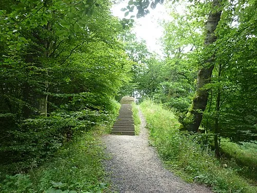 Gyldenløves Høj Montagne, Ringsted Kommune19 km E
-
Knøsen Montagne, Holbæk Kommune13 km NO
-
Kløveshøj Montagne, Kalundborg Kommune15 km NO
-
Stestrup Bjerg Montagne, Holbæk Kommune16 km E
-
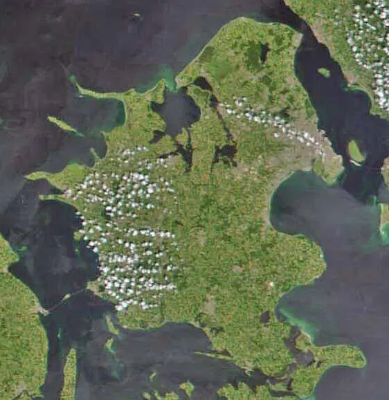 Seeland Île, Danemark12 km E
-
Hjortebjerg Montagne, Holbæk Kommune14 km NO
Sources et licences
Données mises à jour le: · 2 sources indépendantes