Davrehøj
Situé dans Vordingborg Kommune, Sjælland Coordonnées: 55°01′26″ N 12°24′06″ E
- Altitude
- 18 m
- au-dessus du niveau de la mer
- Heure locale
- UTC+01:00
- Europe/Copenhagen · UTC+01:00
À propos : Davrehøj
Davrehøj est une montagne. Situation : Vordingborg Kommune, Sjælland. Altitude : 18 m.
En comparaison
- Langeskov : n° 240 sur 271 sommets par altitude
Villes et villages les plus proches
-
Stege Village, Vordingborg Kommune8,6 km SO
-
Store Damme Village, Vordingborg Kommune20 km SO
-
Mern Village, Vordingborg Kommune22 km O
-
Præstø Village, Vordingborg Kommune25 km NO
-
Stensved Village, Vordingborg Kommune24 km O
-
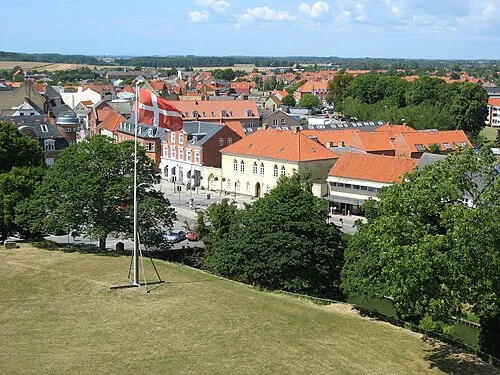 Vordingborg Ville, Vordingborg Kommune31 km O
Sites et nature à proximité
Tout ce qui est proche-
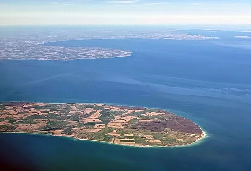 Møn Île, Vordingborg Kommune5,1 km SO
-
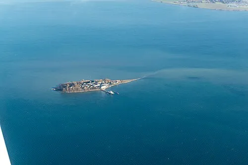 Lindholm Île, Vordingborg Kommune12 km O
-
Tyreholm Île, Vordingborg Kommune11 km O
-
Bredeholm Île, Vordingborg Kommune12 km O
-
Degneholm Île, Vordingborg Kommune16 km O
-
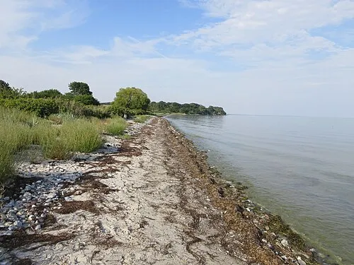 Feddet Site naturel, Faxe Kommune24 km NO
-
Rishøj Montagne, Vordingborg Kommune24 km O
-
Præstebjerg Montagne, Vordingborg Kommune18 km SO
Sources et licences
Données mises à jour le: · 2 sources indépendantes