Faher Mountain
Situé dans County Kerry, Munster Coordonnées: 51°54′31″ N 9°51′16″ O
- Altitude
- 393 m
- au-dessus du niveau de la mer
- Heure locale
- UTC+00:00
- Europe/Dublin · UTC+00:00
À propos : Faher Mountain
Faher Mountain est une montagne. Situation : County Kerry, Munster. Altitude : 393 m.
En comparaison
- Irlande : n° 823 sur 2106 sommets par altitude
- 64 sites et lieux naturels à moins de 10 km Beann South Top, Knockarig
Sites et nature à proximité
Tout ce qui est proche-
Knockarig Montagne, County Kerry1,3 km SE
-
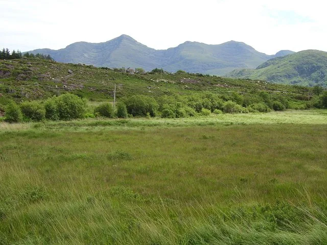 Mullaghanattin Montagne, County Kerry3,1 km NE
-
Eskine Montagne, County Kerry2,6 km SE
-
Finnararagh Montagne, County Kerry2,9 km O
-
Knocknafreaghane Montagne, County Kerry4,5 km SE
-
Ballytrusk Montagne, County Kerry5,2 km NO
-
Knocknagantee Montagne, County Kerry5,8 km O
-
Knocknagullion Montagne, County Kerry6,1 km SE
Sources et licences
Données mises à jour le: · 2 sources indépendantes