Valenberg
Situé dans Apeldoorn Municipality, Gueldre Coordonnées: 52°05′14″ N 5°59′46″ E
- Altitude
- 82 m
- au-dessus du niveau de la mer
- Heure locale
- UTC+01:00
- Europe/Amsterdam · UTC+01:00
À propos : Valenberg
Valenberg est une montagne. Situation : Apeldoorn Municipality, Gueldre. Altitude : 82 m.
En comparaison
- Pays-Bas : n° 14 sur 122 sommets par altitude
- 18 sites et lieux naturels à moins de 10 km Zwarte Berg, Imboschberg
Villes et villages les plus proches
-
Eerbeek Petite ville, Brummen Municipality4,7 km NE
-
Groenendaal Village, Apeldoorn Municipality3,4 km O
-
Laag-Soeren Village, Rheden Municipality5,7 km E
-
Woeste Hoeve Village, Apeldoorn Municipality3,6 km NO
-
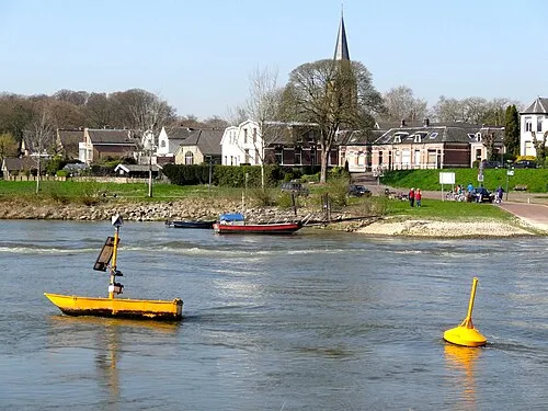 Dieren Petite ville, Rheden Municipality8,4 km SE
-
Beekbergen Village, Apeldoorn Municipality8,4 km N
Sites et nature à proximité
Tout ce qui est proche-
Zwarte Berg Montagne, Apeldoorn Municipality3,1 km SO
-
Imboschberg Montagne, Rozendaal3,5 km S
-
Schalterberg Montagne, Apeldoorn Municipality3,8 km NO
-
De Reeënberg Montagne, Apeldoorn Municipality4,8 km N
-
Galgenberg Montagne, Arnhem5 km SO
-
Jutberg Montagne, Rheden Municipality5,4 km E
-
Tafelberg Montagne, Rheden Municipality6 km S
-
Geitenberg Montagne, Rheden Municipality6,5 km SE
Sources et licences
Données mises à jour le: · 2 sources indépendantes