Ulpha
Situé dans Cumberland, Cumbrie Coordonnées: 54°21′51″ N 3°12′41″ O
Le nom de ce lieu n'a pas encore été vérifié dans cette langue ; il est affiché sous sa forme d'origine.
- Altitude
- 372 m
- au-dessus du niveau de la mer
- Heure locale
- UTC+00:00
- Europe/London · UTC+00:00
- Lieux rattachés
- 24
- classés sous Ulpha
À propos : Ulpha
Ulpha est un village. Situation : Cumberland, Cumbrie. Altitude : 372 m.
En comparaison
- Localité plus grande la plus proche : Coniston, à 9 km (E)
- 161 sites et lieux naturels à moins de 10 km Wallowbarrow Heald, Iron Crag
- Recensés ici : Montagne: 20, Village: 2, Site historique: 1, Monument: 1
Lieux : Ulpha
24 lieux-
Beckfoot Village
-
Bigert Montagne
-
Birker Fell - White How Montagne
-
Burn Moor Montagne
-
Castle How Site historique
-
Crinkle Crags South Top Montagne
-
Demming Crag Montagne
-
Frith Hall Monument
-
Great Worm Crag Montagne
-
Green Crag Montagne
-
Harter Fell Montagne
-
Hesk Fell Montagne
-
Iron Crag Montagne
-
Little Stand Montagne
-
Penn Montagne
-
Plough Fell Montagne
-
Rowantree How Montagne
-
Stonesty Pike Montagne
-
The Pike Montagne
-
Ulpha Village
-
Wallowbarrow Crag Montagne
-
Wallowbarrow Heald Montagne
-
Whitfell Montagne
-
Woodend Height Montagne
Sites et nature à proximité
Tout ce qui est proche-
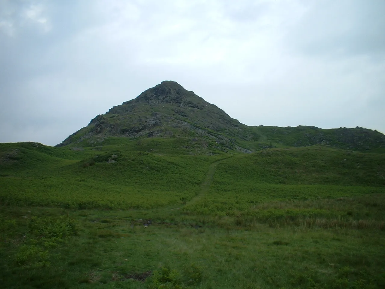 Stickle Pike Montagne, Dunnerdale-with-Seathwaite4,4 km S
-
White Maiden Montagne, Dunnerdale-with-Seathwaite4,3 km E
-
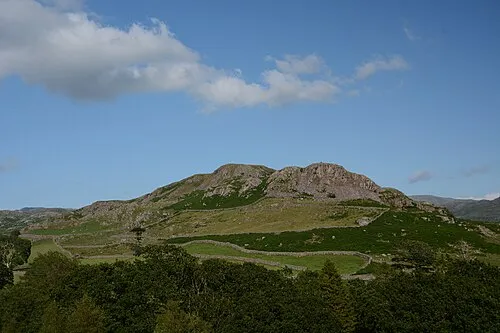 Great Barrow Montagne, Eskdale5,3 km NO
Sources et licences
Données mises à jour le: