Leighton and Eaton Constantine
Situé dans Shropshire, Angleterre Coordonnées: 52°39′00″ N 2°34′46″ O
Le nom de ce lieu n'a pas encore été vérifié dans cette langue ; il est affiché sous sa forme d'origine.
- Altitude
- 76 m
- au-dessus du niveau de la mer
- Heure locale
- UTC+00:00
- Europe/London · UTC+00:00
- Lieux rattachés
- 4
- classés sous Leighton and Eaton Constantine
À propos : Leighton and Eaton Constantine
Leighton and Eaton Constantine est une commune. Situation : Shropshire, Angleterre. Altitude : 76 m.
En comparaison
- Localité plus grande la plus proche : Cressage, à 3 km (SO)
- 29 sites et lieux naturels à moins de 10 km Cressage, Charlton Hill
- Recensés ici : Village: 4
Aéroports les plus proches de Leighton and Eaton Constantine
- Birmingham Airport (BHX) Birmingham, West Midlands 60 km
- Liverpool John Lennon Airport (LPL) Liverpool 78 km
- Manchester Airport (MAN) Manchester, Greater Manchester 80 km
Distance à vol d’oiseau ; uniquement les aéroports avec vols réguliers. Source : OurAirports (domaine public).
Lieux : Leighton and Eaton Constantine
4 lieux-
Eaton Constantine Village
-
Garmston Village
-
Leighton Village
-
Upper Longwood Village
Sites et nature à proximité
Tout ce qui est proche-
Charlton Castle Site historique, Wrockwardine5,3 km N
-
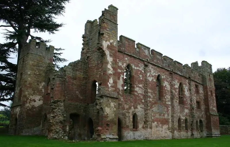 Château d'Acton Burnell Site historique, Acton Burnell8,5 km SO
-
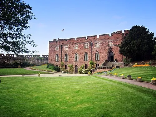 château de Shrewsbury Site historique, Shrewsbury13 km NO
Sources et licences
Données mises à jour le: