Penton Hook Island
Situé dans Spelthorne District, Surrey Coordonnées: 51°24′43″ N 0°30′06″ O
- Altitude
- 15 m
- au-dessus du niveau de la mer
- Heure locale
- UTC+00:00
- Europe/London · UTC+00:00
À propos : Penton Hook Island
Penton Hook Island est une île. Situation : Spelthorne District, Surrey.
En comparaison
- 51 sites et lieux naturels à moins de 10 km Penton Park, Fleet Lake
Villes et villages les plus proches
-
Egham Hythe Village, Runnymede District1,3 km NO
-
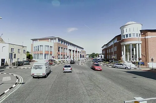 Chertsey Petite ville, Runnymede District2,7 km S
-
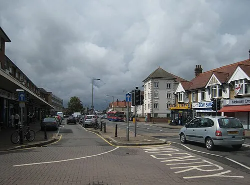 Ashford Petite ville, Spelthorne District3,8 km NE
-
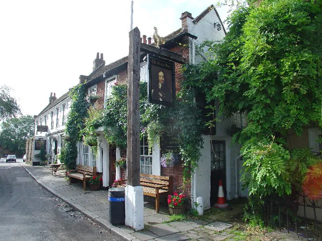 Shepperton Petite ville, Spelthorne District4,1 km SE
-
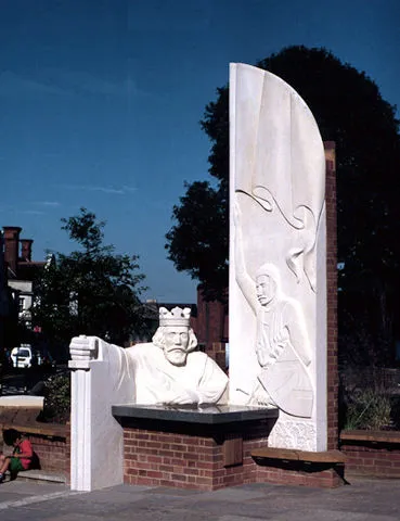 Egham Petite ville, Runnymede District4,1 km NO
Sources et licences
Données mises à jour le: · 2 sources indépendantes