Eilean Ghiubhas
Situé dans Highland, Ecosse Coordonnées: 57°43′49″ N 5°04′50″ O
Le nom de ce lieu n'a pas encore été vérifié dans cette langue ; il est affiché sous sa forme d'origine.
- Altitude
- 238 m
- au-dessus du niveau de la mer
- Heure locale
- UTC+00:00
- Europe/London · UTC+00:00
À propos : Eilean Ghiubhas
Eilean Ghiubhas est une île. Situation : Highland, Ecosse.
En comparaison
- 64 sites et lieux naturels à moins de 10 km Meall a' Chrasgaidh, Meall an t-Sithe
Aéroports les plus proches de Eilean Ghiubhas
- Inverness Airport (INV) Inverness, Highland 65 km
- Stornoway Airport (SYY) Stornoway, Western Isles 92 km
- Benbecula Airport (BEB) Balivanich 139 km
Distance à vol d’oiseau ; uniquement les aéroports avec vols réguliers. Source : OurAirports (domaine public).
Villes et villages les plus proches
-
Inverlael Village, Highland9,8 km N
-
Ardcharnich Village, Highland13 km N
-
Ullapool Village, Highland19 km N
-
Dundonnell Village, Highland14 km NO
-
Kinlochewe Village, Highland19 km SO
-
Leckmelm Village, Highland15 km N
Sites et nature à proximité
Tout ce qui est proche-
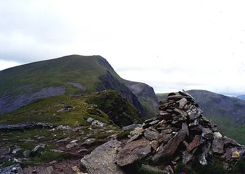 Sgùrr nan Clach Geala Montagne, Highland4,3 km SE
-
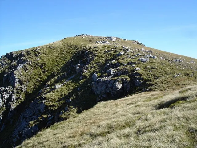 Sgùrr Breac Montagne, Highland4,3 km S
-
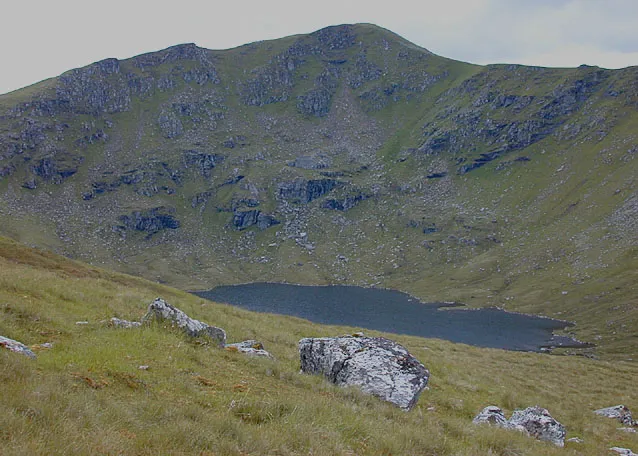 A' Chailleach Montagne, Highland4,9 km SO
-
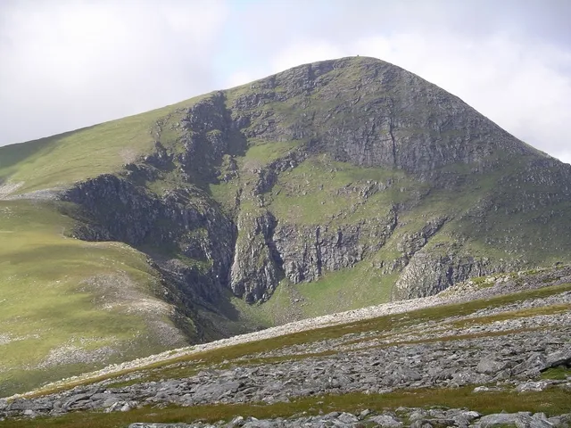 Sgùrr Mòr Montagne, Highland5,1 km SE
-
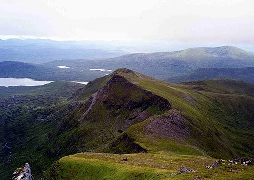 Sgùrr nan Each Montagne, Highland5,9 km S
-
Beinn Liath Mhor Fannaich Montagne, Highland6 km SE
-
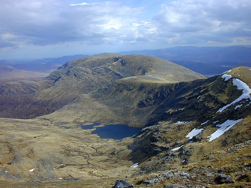 Meall Gorm Montagne, Highland8 km SE
-
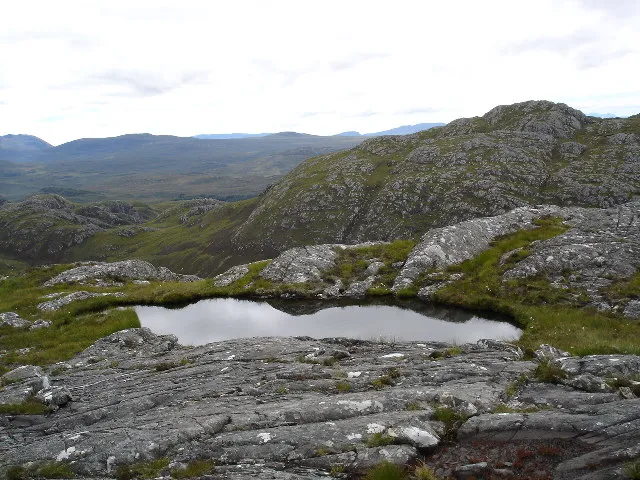 Groban Montagne, Highland8 km SO
Sources et licences
Données mises à jour le: