Bottenwil
Situé dans District de Zofingen, Canton d’Argovie Coordonnées: 47°17′07″ N 8°00′11″ E
Le nom de ce lieu n'a pas encore été vérifié dans cette langue ; il est affiché sous sa forme d'origine.
- Population
- 804
- 804
- Altitude
- 498 m
- au-dessus du niveau de la mer
- Heure locale
- UTC+01:00
- Europe/Zurich · UTC+01:00
- Lieux rattachés
- 1
- classés sous Bottenwil
À propos : Bottenwil
Bottenwil est une commune. Situation : District de Zofingen, Canton d’Argovie. Population : 804. Altitude : 498 m.
En comparaison
- District de Zofingen : n° 16 sur 17 lieux par population
- Localité plus grande la plus proche : Uerkheim, à 2 km (N)
- 10 sites et lieux naturels à moins de 10 km Wildpark Heitern, Reformierte Kirche Safenwil
Lieux : Bottenwil
1 lieu-
Bottenwil Village800
Sites et nature à proximité
Tout ce qui est proche-
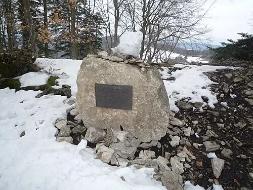 Geissflue Montagne, Oltingen15 km N
-
Leutschenberg Montagne, Stüsslingen15 km N
-
Flueberg Montagne, Wisen (SO)14 km NO
-
Burgflue Montagne, Lostorf14 km NO
-
Ifleter Berg Montagne, Hauenstein-Ifenthal16 km NO
-
Stellichopf Montagne, Kienberg17 km N
Sources et licences
Données mises à jour le: