Grindelwald
Situé dans Interlaken-Oberhasli District, Canton de Berne Coordonnées: 46°37′09″ N 8°03′04″ E
- Population
- 3 810
- 3,8 k
- Altitude
- 1 142 m
- au-dessus du niveau de la mer
- Heure locale
- UTC+01:00
- Europe/Zurich · UTC+01:00
- Lieux rattachés
- 123
- classés sous Grindelwald
À propos : Grindelwald
Grindelwald est une commune. Situation : Interlaken-Oberhasli District, Canton de Berne. Population : 3 810. Altitude : 1 142 m.
En comparaison
- Interlaken-Oberhasli District : n° 5 sur 28 lieux par population
- Localité plus grande la plus proche : Matten bei Interlaken, à 15 km (NO)
- 167 sites et lieux naturels à moins de 10 km Wächselgletscher, Brunnhorn
- Recensés ici : Montagne: 62, Village: 37, Site naturel: 17, Lac: 6
Lieux : Grindelwald
123 lieux-
Grindelwald Village3,7 k
-
Agassizhorn Montagne
-
Alpenvogelpark Grindelwald Attraction touristique
-
Alpiglen Village
-
Am Lus Village
-
Ankenbälli Montagne
-
Antseeuwen Lac
-
Antseeuwen Lac
-
Antseeuwen Lac
-
Aspen Village
-
Aspi Village
-
Auf der Gey Village
-
Bachsee Lac
-
Bandspitz Montagne
-
Bidem Village
-
Bira Montagne
-
Blatti Village
-
Blattmad Village
-
Blau Gletscherli Site naturel
-
Bodmi Village
-
Brandegg Village
-
Bräntlershorn Montagne
-
Brunnhorn Montagne
-
Burg Montagne
-
Burglauenen Village
-
Burgseeli Lac
-
Bustiglen Village
-
Byhorn Montagne
-
Challifirn Site naturel
-
Cheerhubel Montagne
-
Chiemattenhubla Montagne
-
Chrinnengletscher Site naturel
-
Chrinnenhorn Montagne
-
Egg Village
-
Eggboden Village
-
Esel Montagne
-
Fallbodenhubel Montagne
-
Faulhorn Montagne
-
First Montagne
-
Furggenhorn Montagne
-
Gassenboden Montagne
-
Gemschberg Montagne
-
Gletscherschlucht Village
-
Grossenegg Montagne
-
Grosser Turm Montagne
-
Grossi Chrinne Montagne
-
Gutzgletscher Site naturel
-
Gwächta Montagne
-
Habsucht Village
-
Halbmond Montagne
-
Heeje Hubel Montagne
-
Hengsterengletscher Site naturel
-
Hick Montagne
-
Hinder der Egg Village
-
Hireleni Montagne
-
Hohbiel Montagne
-
Hohtissel Montagne
-
Hörnli Montagne
-
Hornseewli Lac
-
Im Ritt Village
Sites et nature à proximité
Tout ce qui est proche-
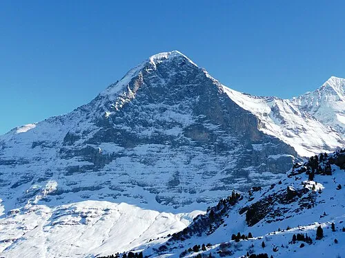 Eiger Montagne, Lauterbrunnen5,8 km SO
-
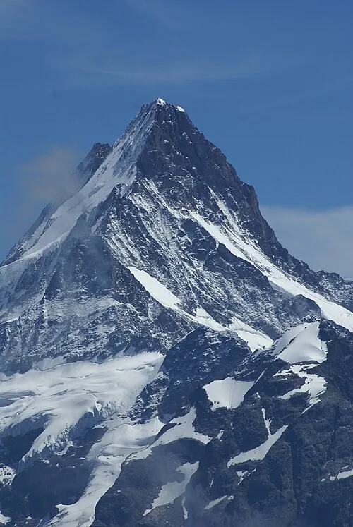 Schreckhorn Montagne, Guttannen6,1 km SE
-
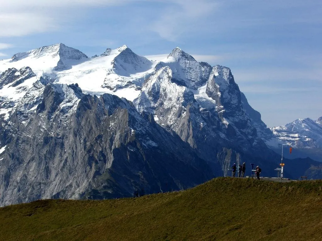 Rosenhorn Montagne, Innertkirchen6,8 km E
-
Kleine Scheidegg Montagne, Lauterbrunnen7,8 km SO
-
Mönch Montagne, Lauterbrunnen7,9 km SO
Sources et licences
Données mises à jour le: