Arosa
Situé dans Region Plessur, Canton des Grisons Coordonnées: 46°46′00″ N 9°40′01″ E
- Population
- 3 145
- 3,1 k
- Altitude
- 2 003 m
- au-dessus du niveau de la mer
- Heure locale
- UTC+01:00
- Europe/Zurich · UTC+01:00
- Lieux rattachés
- 83
- classés sous Arosa
À propos : Arosa
Arosa est une commune. Situation : Region Plessur, Canton des Grisons. Population : 3 145. Altitude : 2 003 m.
En comparaison
- Region Plessur : n° 2 sur 3 lieux par population
- Localité plus grande la plus proche : Davos, à 14 km (E)
- 116 sites et lieux naturels à moins de 10 km Schafrügg, Schwellisee
- Recensés ici : Montagne: 59, Village: 13, Lac: 11
Lieux : Arosa
83 lieux-
Arosa Village2,3 k
-
Langwies Village278
-
Peist Village191
-
Sankt Peter Village180
-
Castiel Village117
-
Aachchübel Montagne
-
Älplihorn Montagne
-
Älplisee Lac
-
Älpliseehorn Montagne
-
Alteinsee Lac
-
Amselegg Montagne
-
Aroser Weisshorn Montagne
-
Arsass Montagne
-
Augstbärg Montagne
-
Blackter Flüe Montagne
-
Brüggerhorn Montagne
-
Calfreisen Village
-
Chilcheltibüel Montagne
-
Chlein Furggahorn Montagne
-
Chobel Montagne
-
Chüebergchöpf Montagne
-
Chüeberghorn Montagne
-
Chuoregger Montagne
-
Chüpfenflue Montagne
-
Dörfli Village
-
Flue Montagne
-
Fuchs Montagne
-
Ful Berg Montagne
-
Gromser Chopf Montagne
-
Gross Schiahorn Montagne
-
Grünseeli Lac
-
Hauenseeli Lac
-
Haupter Horn Montagne
-
Hauptichopf Montagne
-
Hörnli Montagne
-
Leidflue Montagne
-
Litzirüti Village
-
Lüen Village
-
Lüener Grat Montagne
-
Mattjisch Horn Montagne
-
Medergen Village
-
Mederger Flue Montagne
-
Mederger Hauptji Montagne
-
Molinis Village
-
Montalin Montagne
-
Ober Boden Montagne
-
Ober Prätschsee Lac
-
Obersee Lac
-
Pagig Village
-
Parpaner Weisshorn Montagne
-
Rüggflue Montagne
-
Sandhubel Montagne
-
Schafläger Montagne
-
Schafläger Montagne
-
Schafrügg Montagne
-
Schafturm Montagne
-
Scheidegg Montagne
-
Schiesshorn Montagne
-
Schwellisee Lac
-
Seebüelen Montagne
Sites et nature à proximité
Tout ce qui est proche-
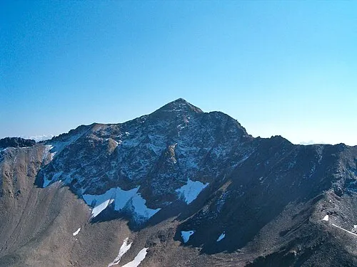 Aroser Rothorn Montagne, Albula/Alvra5,2 km SO
-
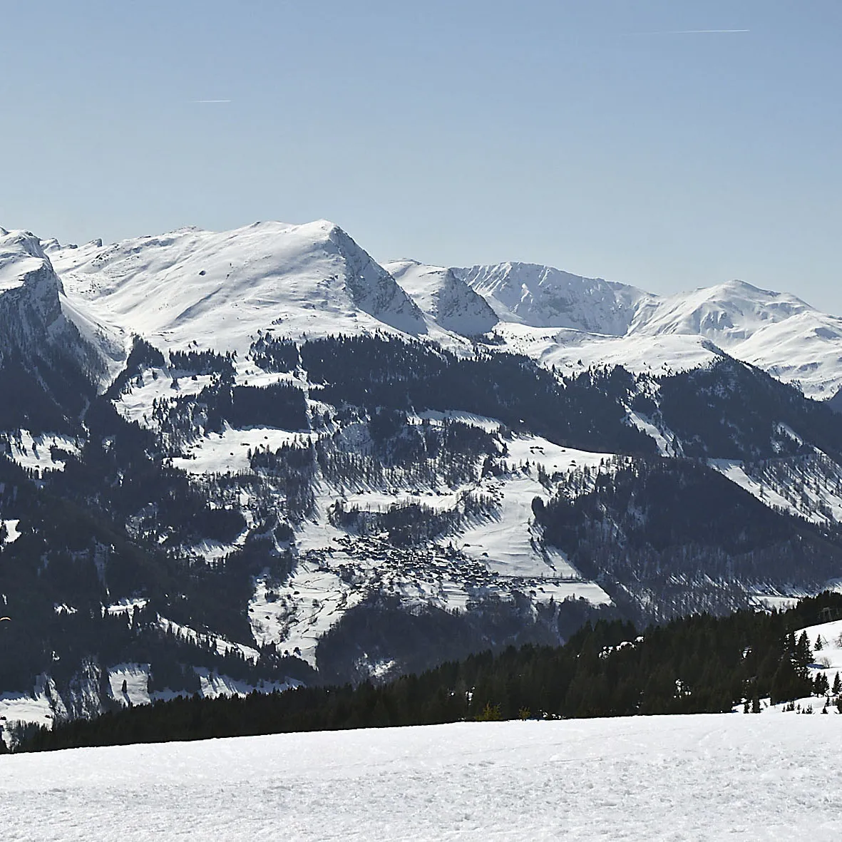 Gürgaletsch Montagne, Coire7,3 km NO
Sources et licences
Données mises à jour le: