Rheinwald
Situé dans Region Viamala, Canton des Grisons Coordonnées: 46°32′41″ N 9°14′26″ E
Le nom de ce lieu n'a pas encore été vérifié dans cette langue ; il est affiché sous sa forme d'origine.
- Population
- 581
- 581
- Altitude
- 1 734 m
- au-dessus du niveau de la mer
- Heure locale
- UTC+01:00
- Europe/Zurich · UTC+01:00
- Lieux rattachés
- 54
- classés sous Rheinwald
À propos : Rheinwald
Rheinwald est une commune. Situation : Region Viamala, Canton des Grisons. Population : 581. Altitude : 1 734 m.
En comparaison
- Region Viamala : n° 7 sur 19 lieux par population
- Localité plus grande la plus proche : Vals, à 9 km (NO)
- 112 sites et lieux naturels à moins de 10 km Rheinwald, Höhflue
- Recensés ici : Montagne: 31, Site naturel: 8, Lac: 7, Village: 5
Aéroports les plus proches de Rheinwald
- Lugano Airport (LUG) Agno 65 km
- Il Caravaggio International Airport (BGY) Orio al Serio (BG) 104 km
- Sankt Gallen Altenrhein Airport (ACH) St. Gallen 107 km
Distance à vol d’oiseau ; uniquement les aéroports avec vols réguliers. Source : OurAirports (domaine public).
Lieux : Rheinwald
54 lieux-
Splügen Village400
-
Nufenen Village156
-
Hinterrhein Ville61
-
Medels im Rheinwald Village35
-
Alpetlistock Montagne
-
Bergseeli Lac
-
Brennhof Village
-
Chilchalpgletscher Site naturel
-
Chilchalpgletscher Site naturel
-
Chilchalphorn Montagne
-
Chrachen Montagne
-
Einshorn Montagne
-
Fluegrind Montagne
-
Gemskanzel Montagne
-
Gitzkopf Montagne
-
Güferhorn Montagne
-
Guggeri Montagne
-
Guggernüll Montagne
-
Höhberggletscher Site naturel
-
Höhbergsee Lac
-
Höhflue Montagne
-
Hüttenturra Montagne
-
Marschinchopf Montagne
-
Marscholsee Lac
-
Mittaghorn Montagne
-
Mittler Schwarzhorn Montagne
-
Nühus Village
-
Oberrüti Quartier
-
Ober Surettasee Lac
-
Paradiesgletscher Site naturel
-
Paradiesgletscher Site naturel
-
Paradieshüreli Montagne
-
Pizzo Baratin Montagne
-
Pizzo Tambo Montagne
-
Punta Nera Montagne
-
Rheinwaldhorn Montagne
-
Rütigutsch Montagne
-
Schafsitachopf Montagne
-
Schollenhorn Montagne
-
Schwarzhorngletscher Site naturel
-
Schwarz Turra Montagne
-
Seehorn Montagne
-
Steilerhorn Montagne
-
Tällihorn Montagne
-
Tambogletscher Site naturel
-
Tambosee Lac
-
Tanatzhöhi Montagne
-
Tempahorn Montagne
-
Turrasee Lac
-
Under Surettasee Lac
-
Unterrüti Quartier
-
Wenglispitz Montagne
-
Wisshorn Montagne
-
Zapportgletscher Site naturel
Sites et nature à proximité
Tout ce qui est proche-
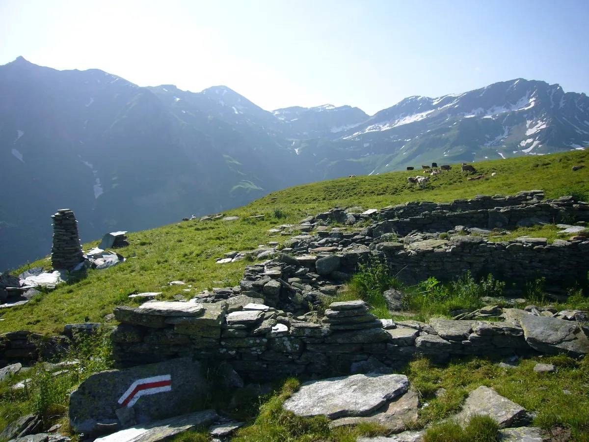 Bärahora Montagne, Vals3,5 km N
-
Piz Tamborello Montagne, Madesimo7 km SE
-
Lattenhorn Montagne, Madesimo6,8 km SE
-
Pizzo Zoccone Montagne, Madesimo6,8 km SE
-
Motto del Belvedere Montagne, Madesimo7,5 km SE
Sources et licences
Données mises à jour le: