Simplon
Situé dans district de Brigue, Canton du Valais Coordonnées: 46°12′10″ N 8°02′11″ E
Le nom de ce lieu n'a pas encore été vérifié dans cette langue ; il est affiché sous sa forme d'origine.
- Population
- 300
- 300
- Altitude
- 1 722 m
- au-dessus du niveau de la mer
- Heure locale
- UTC+01:00
- Europe/Zurich · UTC+01:00
- Lieux rattachés
- 46
- classés sous Simplon
À propos : Simplon
Simplon est une commune. Situation : district de Brigue, Canton du Valais. Population : 300. Altitude : 1 722 m.
En comparaison
- district de Brigue : n° 6 sur 7 lieux par population
- Localité plus grande la plus proche : Visperterminen, à 9 km (NO)
- 138 sites et lieux naturels à moins de 10 km Galu, Rossbode
- Recensés ici : Montagne: 29, Site naturel: 10, Lac: 5, Village: 2
Lieux : Simplon
46 lieux-
Antonius Montagne
-
Blaus Seewji Lac
-
Bodmergletscher Site naturel
-
Bodmerhorn Montagne
-
Böshorn Montagne
-
Breithorn Montagne
-
Breitloibgrat Montagne
-
Chellihorn Montagne
-
Chesselhorn Montagne
-
Gabi (Simplon) Village
-
Galu Montagne
-
Gampisch Montagne
-
Giblatt Montagne
-
Glatthorn Montagne
-
Griessernugletscher Site naturel
-
Griessernuhorn Montagne
-
Holutriftgletscher Site naturel
-
Homattugletscher Site naturel
-
Hopschusee Lac
-
Hotosse Montagne
-
Howeng Montagne
-
Hübschgletscher Site naturel
-
Hübschhorn Montagne
-
Laggingletscher Site naturel
-
Magehorn Montagne
-
Plaggische Bode Montagne
-
Rossbode Montagne
-
Rossbodegletscher Site naturel
-
Rossbodegletscher Site naturel
-
Rotelschsee Lac
-
Rothorn Montagne
-
Rothorn Montagne
-
Schilthorn Montagne
-
Schwarze Tschugge Montagne
-
Senggchuppa Montagne
-
Sibilufluegletscher Site naturel
-
Sibilufluegrat Montagne
-
Simplon Dorf Village
-
Sirwoltehorn Montagne
-
Sirwoltusee Lac
-
Sirwoltu Weiher Lac
-
Straffelgrat Montagne
-
Wammischhörner Montagne
-
Weissmiesgletscher Site naturel
-
Wenghorn Montagne
-
Wyssbodehorn Montagne
Sites et nature à proximité
Tout ce qui est proche-
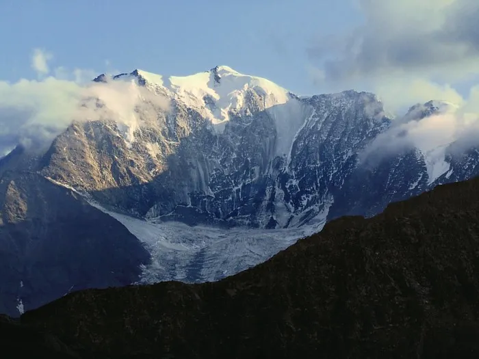 Fletschhorn Montagne, Saas-Balen4,7 km SO
-
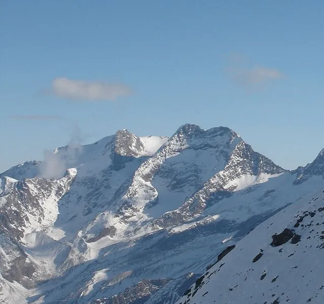 Lagginhorn Montagne, Saas-Grund5,7 km SO
-
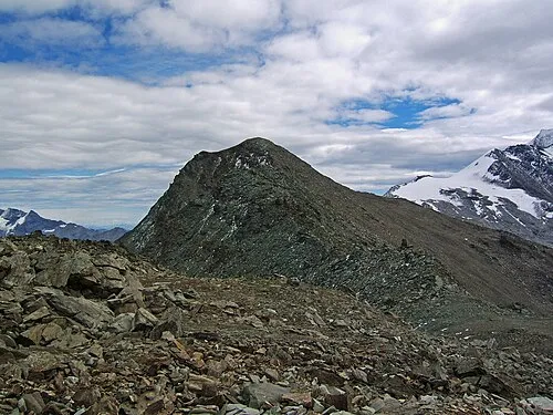 Mattwaldhorn Montagne, Visperterminen6,2 km O
Sources et licences
Données mises à jour le: