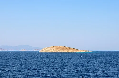
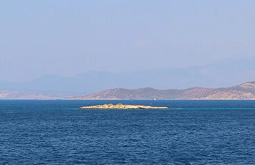
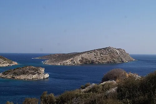
Raphtis Island
Name in Landessprache: Ράφτης
Liegt in Attica, Attika Koordinaten: 37°52′58″ N 24°02′41″ O
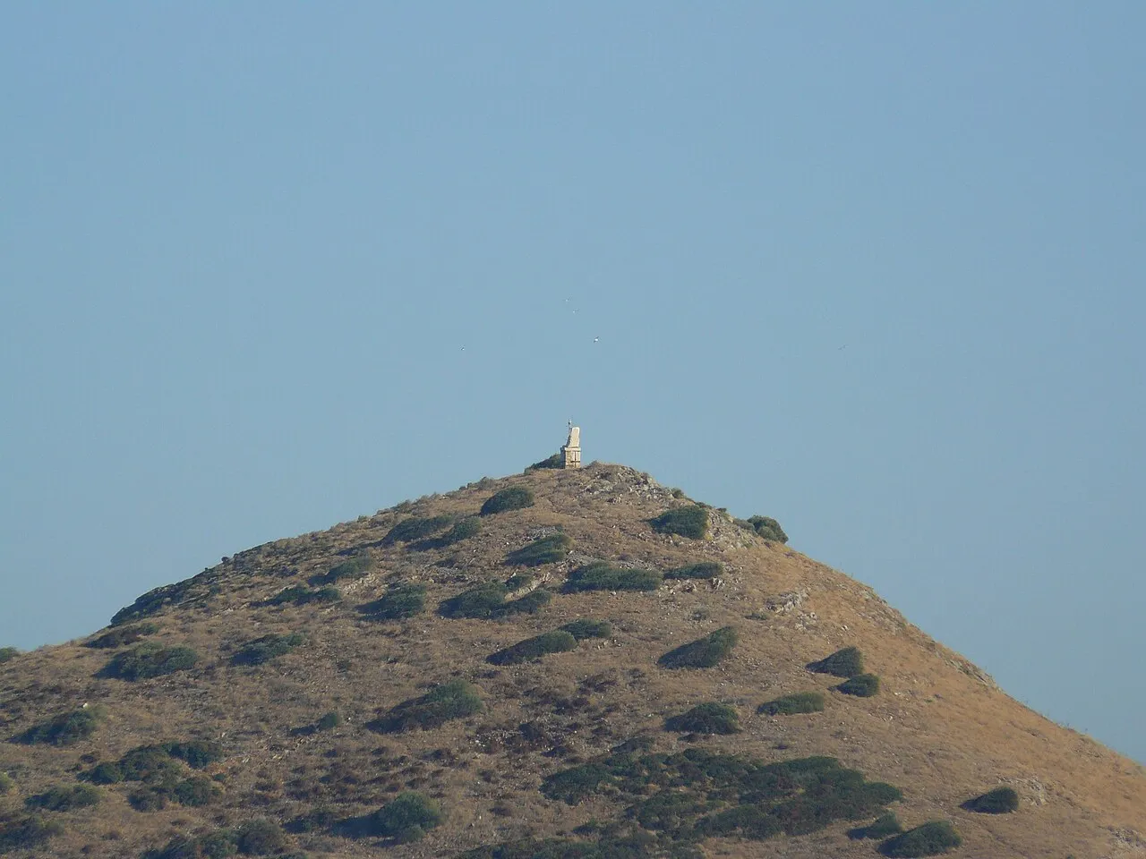
- Höhe
- 56 m
- über dem Meeresspiegel
- Ortszeit
- UTC+02:00
- Europe/Athens · UTC+02:00
Über Raphtis Island
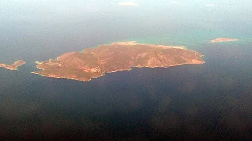
Raphtis Island ist eine Insel. Lage: Attica, Attika.
Auf einen Blick
- Schutzstatus
- archaeological site in Greece
Quelle: Wikidata
Nächstgelegene Städte und Dörfer
-
Porto Rafti Kleinstadt, Markopoulo Mesogaias3,8 km W
-
Maristra Dorf, Lavreotiki6,1 km S
-
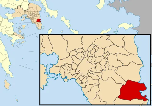 Markopoulo Mesogaias Kleinstadt, Markopoulo Mesogaias9,8 km W
-
Brauron Dorf, Markopoulo Mesogaias5 km NW
-
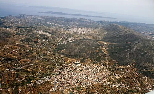 Keratea Kleinstadt, Lavreotiki10 km SW
Weitere Seen, Flüsse und Küsten in Griechenland
Quellen & Lizenzen
Daten zuletzt aktualisiert: · 2 unabhängige Quellen