Nisís Ráftis
Local name: Ράφτης
Located in Attica, Attica Coordinates: 37°52′58″ N 24°02′41″ E
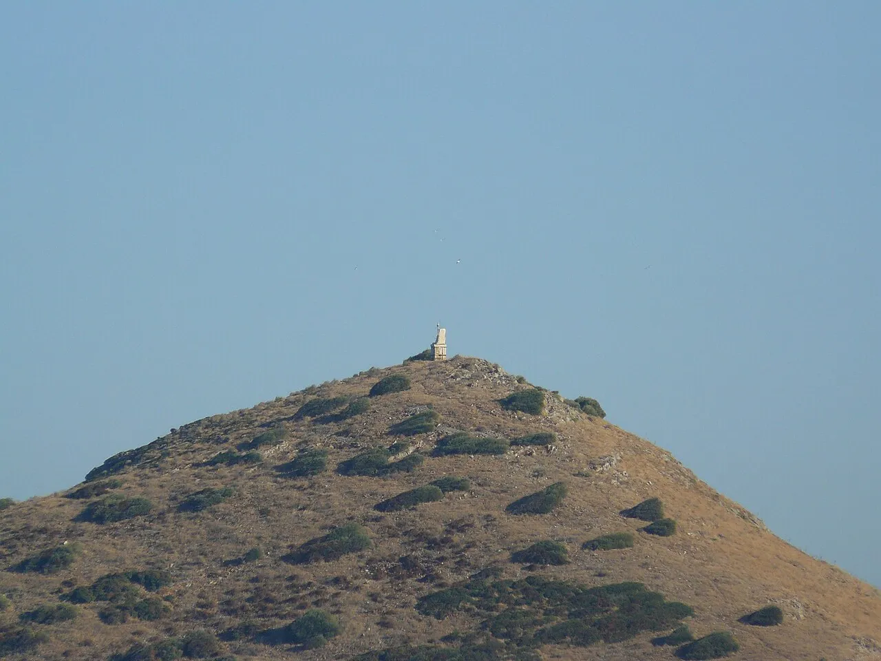
- Elevation
- 56 m
- above sea level
- Local time
- UTC+02:00
- Europe/Athens · UTC+02:00
- Airports
- ATH Athens Eleftherios Venizelos International Airport11 km
- JMK Mykonos Island National Airport125 km
About Nisís Ráftis
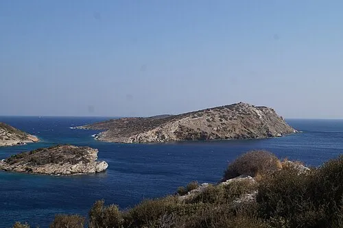
Nisís Ráftis is an island. Location: Attica, Attica. The best months to visit are May, September–October. The nearest airport is Athens Eleftherios Venizelos International Airport (11 km).
At a glance
- Heritage designation
- archaeological site in Greece
Source: Wikidata
Climate of Nisís Ráftis
Best months for sightseeingBest months for sightseeing: May, September–October.
This month · November
Outside the best season
Day 18° · Night 12° · Rain 60 mm
- Hottest month
- July (day 31°)
- Coldest month
- February (night 8°)
- Wettest month
- December (70 mm)
- Driest month
- July (5 mm)
Bars: average monthly low and high temperature. Below: precipitation. Monthly averages for 1970–2000 at about 18 km resolution, adjusted for elevation. Highlighted months are mild and relatively dry. Source: WorldClim 2.1 (CC BY 4.0).
Show values as a table
| Month | Jan | Feb | Mar | Apr | May | Jun | Jul | Aug | Sep | Oct | Nov | Dec |
|---|---|---|---|---|---|---|---|---|---|---|---|---|
| Average high (°C) | 13° | 13° | 15° | 19° | 24° | 29° | 31° | 31° | 27° | 23° | 18° | 15° |
| Average low (°C) | 8° | 8° | 9° | 12° | 16° | 20° | 23° | 23° | 20° | 16° | 12° | 9° |
| Precipitation (mm) | 55 | 53 | 51 | 27 | 16 | 7 | 5 | 6 | 9 | 44 | 60 | 70 |
How to get to Nisís Ráftis
The nearest airport is Athens Eleftherios Venizelos International Airport (ATH), 11 km to the northwest as the crow flies. The nearest large city is Athens, 30 km to the west.
Airports
- Athens Eleftherios Venizelos International Airport (ATH) Spata-Artemida 11 kmnorthwest
- Mykonos Island National Airport (JMK) Mykonos 125 kmsoutheast
- Skiathos Island National Airport (JSI) Skiathos 151 kmnorth
Nearby large cities
- Athens Population: 664K 30 kmwest
- Piraeus Population: 163.7K 36 kmwest
- Çiğli Population: 214.1K 274 kmeast
- Konak Population: 332.3K 274 kmeast
- Karabağlar Population: 479.3K 276 kmeast
Straight-line distances; road distances are longer. Airport data: OurAirports.
Nearest towns and villages
-
Porto Rafti Town, Markopoulo Mesogaias3.8 km W
-
Markopoulo Mesogaias Municipality, Nomarchía Anatolikís Attikís6.1 km W
-
Chamoliá Village, Markopoulo Mesogaias4.3 km NW
-
Kaki Thalassa Village, Lavreotiki4.8 km S
-
Moni Kakis Thalassis Village, Lavreotiki5 km S
-
Dionysos Kerateas Village, Lavreotiki5.9 km S
More lakes, rivers and coasts in Greece
-
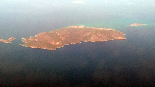 Agistri Island, Attica65 km W
-
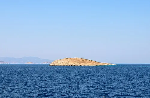 Nisída Eleoúsa Island, Attica51 km W
-
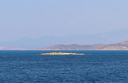 Nisída Gáïdaros Island, Attica52 km W
-
Nisída Skyllí Island, Attica66 km SW
-
 Nisída Spathí Island, Attica67 km SW
-
Platiá Islet Island, Attica59 km W
Sources & licences
Data last updated: · 2 independent sources