Ripi
Liegt in Provinz Frosinone, Latium Koordinaten: 41°36′44″ N 13°25′33″ O
Der Name dieses Ortes wurde in dieser Sprache noch nicht verifiziert und wird in der Originalform angezeigt.
- Einwohner
- 5.241
- 5241
- Höhe
- 294 m
- über dem Meeresspiegel
- Ortszeit
- UTC+01:00
- Europe/Rome · UTC+01:00
- Orte darin
- 35
- unter Ripi verzeichnet
Über Ripi
Ripi ist eine Gemeinde. Lage: Provinz Frosinone, Latium. Einwohner: 5.241. Höhe: 294 m.
Im Vergleich
- Platz 22 von 91 Orten in Provinz Frosinone nach Einwohnern
- Nächstgrößerer Ort: Boville Ernica, 5 km NO
- 3 Sehenswürdigkeiten und Naturorte im Umkreis von 10 km Chiesa di Sant'Antonino Martire, Stadio Comunale Matusa
- Hier verzeichnet: Dorf: 35
Orte in Ripi
35 Orte-
Ripi Dorf1769
-
Colle Alto-Porciri Dorf404
-
San Giovanni Dorf372
-
Carpine Dorf225
-
Porroni Dorf221
-
Colle Castagno Dorf111
-
Mandra Cacchiana II Dorf88
-
Camiciola Dorf81
- 75
-
Colle Ceraso Dorf69
-
Casarina Dorf68
-
Colle Lisi Dorf68
-
Mandra Cacchiana I Dorf60
-
Porciri II Dorf53
-
Spulla I Dorf40
-
Colle Sant'Agostino Dorf36
-
Ruspo-Colle Salardo Dorf35
-
Scarafone I Dorf35
-
Bacile Dorf34
-
Colle Grasso Dorf33
-
Coste I Dorf32
-
Cesalonga Dorf31
-
Spulla II Dorf28
-
Tavernole II Dorf28
-
Pietra Bianca Dorf27
-
Serre I Dorf26
-
Scarafone II Dorf24
-
Galoppino I Dorf23
-
Vado Farina Dorf23
-
Ruspo I Dorf21
-
Tavernole I Dorf20
-
Galoppino III Dorf17
-
Ruspo Dorf17
-
Casa del Medico I Dorf14
-
Galoppino II Dorf12
Sehenswertes & Natur in der Nähe
Alles in der Nähe-
Chiesa di Sant'Antonino Martire Sehenswürdigkeit, Pofi5,1 km S
-
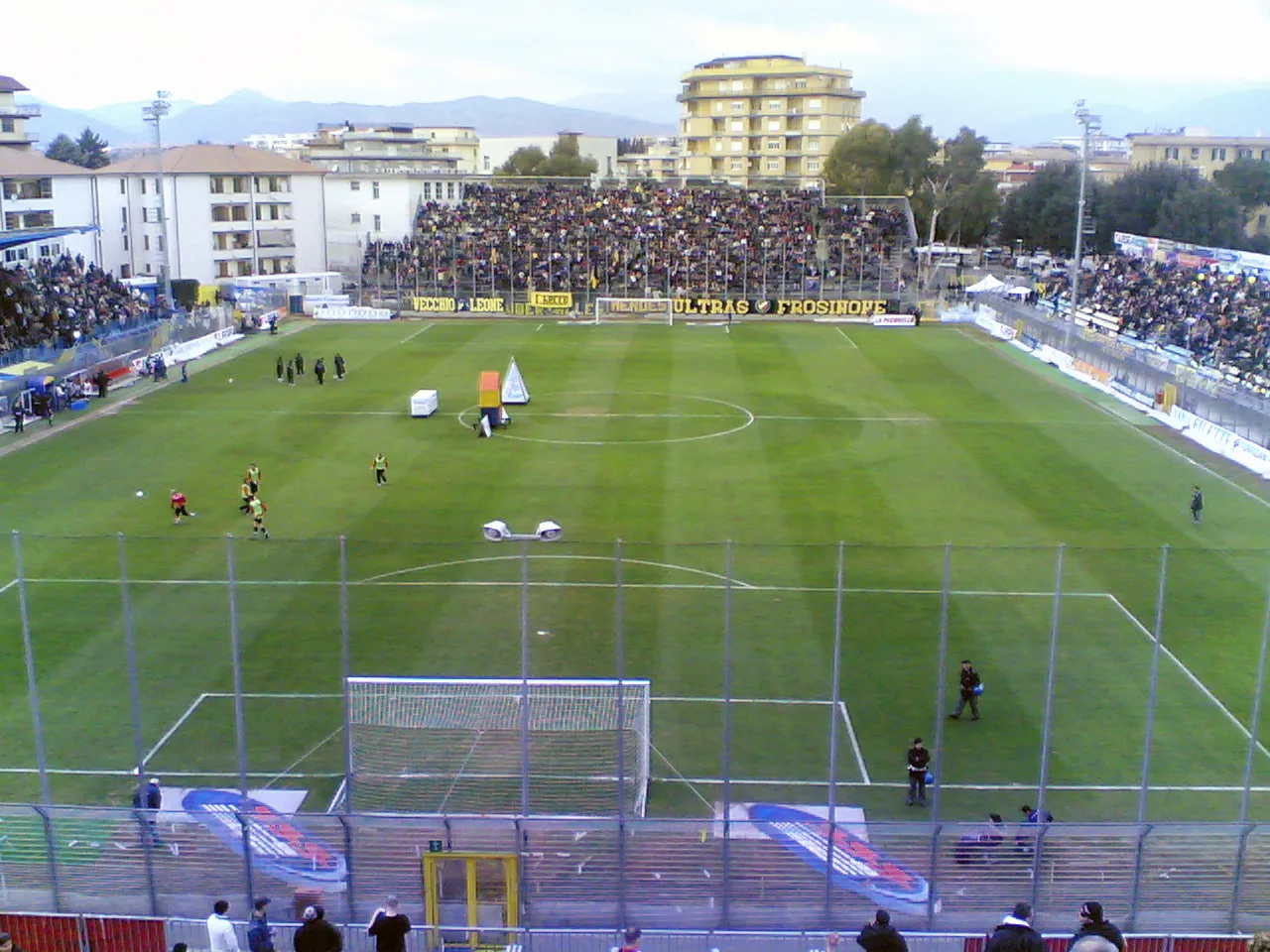 Stadio Comunale Matusa Wahrzeichen, Frosinone7,5 km NW
-
 Castello di Monte San Giovanni Campano Historische Stätte, Monte San Giovanni Campano8 km NO
-
Monte Alto Berg, Prossedi21 km SW
-
Fossa del Santo Berg, Vallecorsa17 km S
-
Monte Sparago Berg, Sonnino25 km SW
-
Valle Cereto Naturgebiet, Latium25 km SW
-
La Monna Berg, Vico nel Lazio21 km N
Quellen & Lizenzen
Daten zuletzt aktualisiert: