- Population
- 5,241
- 5.2K
- Elevation
- 294 m
- above sea level
- Local time
- UTC+01:00
- Europe/Rome · UTC+01:00
- Places inside
- 35
- listed under Ripi
- Airports
- CIA Ciampino–G. B. Pastine International Airport72 km
- FCO Rome–Fiumicino Leonardo da Vinci International Airport100 km
About Ripi
Ripi is a municipality. Location: Province of Frosinone, Lazio. Population: 5,241. Elevation: 294 m. The best months to visit are May–June, September. The nearest airport is Ciampino–G. B. Pastine International Airport (72 km). Nearby sights include Chiesa di Sant'Antonino Martire and Stadio Matusa.
Photos of Ripi
-
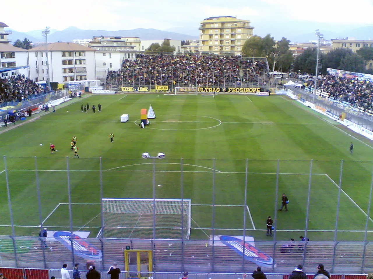
Stadio Matusa Ripetto · CC BY-SA 3.0

Climate of Ripi
Best months for sightseeingBest months for sightseeing: May–June, September.
This month · November
A wet month
Day 14° · Night 5° · Rain 167 mm
- Hottest month
- August (day 30°)
- Coldest month
- January (night 1°)
- Wettest month
- November (167 mm)
- Driest month
- July (39 mm)
Bars: average monthly low and high temperature. Below: precipitation. Monthly averages for 1970–2000 at about 18 km resolution, adjusted for elevation. Highlighted months are mild and relatively dry. Source: WorldClim 2.1 (CC BY 4.0).
Show values as a table
| Month | Jan | Feb | Mar | Apr | May | Jun | Jul | Aug | Sep | Oct | Nov | Dec |
|---|---|---|---|---|---|---|---|---|---|---|---|---|
| Average high (°C) | 10° | 11° | 14° | 17° | 22° | 26° | 29° | 30° | 25° | 20° | 14° | 11° |
| Average low (°C) | 1° | 2° | 4° | 6° | 11° | 14° | 17° | 17° | 14° | 10° | 5° | 2° |
| Precipitation (mm) | 101 | 96 | 82 | 98 | 65 | 43 | 39 | 56 | 94 | 135 | 167 | 136 |
How to get to Ripi
The nearest airport is Ciampino–G. B. Pastine International Airport (CIA), 72 km to the west as the crow flies. The nearest large city is Split, 325 km to the northeast.
Airports
- Ciampino–G. B. Pastine International Airport (CIA) Rome 72 kmwest
- Rome–Fiumicino Leonardo da Vinci International Airport (FCO) Rome 100 kmwest
- Naples International Airport (NAP) Napoli 108 kmsoutheast
Nearby large cities
- Split Population: 149.8K 325 kmnortheast
Straight-line distances; road distances are longer. Airport data: OurAirports.
Day trips from Ripi
Within 100 km: 183 historic and cultural sites, 236 natural sites, 46 lakes, rivers and coasts.
0–25 km16 places
- Cimarone del Villaneto Mountain 24 kmE
- Monte Sparago Mountain 25 kmSW
- Monte Sentinella Mountain 22 kmW
- Monte Pastenese Mountain 22 kmSE
25–60 km150 places
- Sombrero Beach 39 kmS
- La Bussola Beach 50 kmSW
- Spiaggia delle Bambole Beach 42 kmS
- Spiaggia Dell'Agave Beach 45 kmS
60–100 km299 places
- Valle Covatta Natural site 99 kmE
- S.L.O Rodolfo beach Beach 82 kmSE
- Lido di Liccola Beach 96 kmSE
- Marina di Varcaturo Beach 94 kmSE
Straight-line distances.
Places in Ripi
35 places- 1 Ripi 1.8K
- 2 Colle Alto-Porciri 404
- 3 San Giovanni 372
- 4 Carpine 225
- 5 Porroni 221
- 6 Colle Castagno 111
- 7 Mandra Cacchiana II 88
- 8 Camiciola 81
- 9 Sabatino-Ara Martella 75
- 10 Colle Ceraso 69
- 11 Casarina 68
- 12 Colle Lisi 68
- 13 Mandra Cacchiana I 60
- 14 Porciri II 53
- 15 Spulla I 40
- 16 Colle Sant'Agostino 36
- 17 Ruspo-Colle Salardo 35
- 18 Scarafone I 35
- 19 Bacile 34
- 20 Colle Grasso 33
- 21 Coste I 32
- 22 Cesalonga 31
- 23 Spulla II 28
- 24 Tavernole II 28
- 25 Pietra Bianca 27
- 26 Serre I 26
- 27 Scarafone II 24
- 28 Galoppino I 23
- 29 Vado Farina 23
- 30 Ruspo I 21
- 31 Tavernole I 20
- 32 Galoppino III 17
- 33 Ruspo 17
- 34 Casa del Medico I 14
- 35 Galoppino II 12
Bar: population relative to the most populous place in this list.
Nearby attractions & nature
Everything nearby-
Chiesa di Sant'Antonino Martire Attraction, Pofi5.1 km S
-
Stadio Matusa Landmark, Frosinone7.5 km NW
-
 Castello di Monte San Giovanni Campano Historic site, Monte San Giovanni Campano8 km NE
-
Monte Alto Mountain, Prossedi21 km SW
-
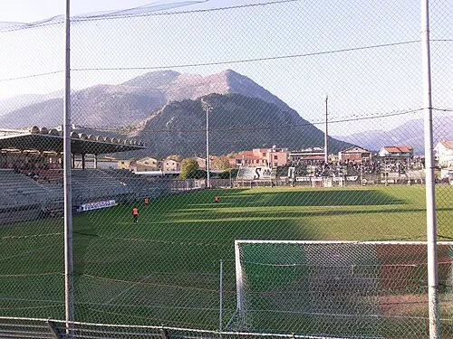 Stadio Claudio Tomei Landmark, Sora20 km NE
-
Fossa del Santo Mountain, Vallecorsa17 km S
-
Monte Sparago Mountain, Sonnino25 km SW
-
Valle Cereto Natural site, Lazio25 km SW
Sources & licences
Data last updated: