Dénia
Liegt in Provinz Alicante, Landes Valencia Koordinaten: 38°49′40″ N 0°04′04″ O
Der Name dieses Ortes wurde in dieser Sprache noch nicht verifiziert und wird in der Originalform angezeigt.
- Einwohner
- 44.455
- 44.455
- Höhe
- 29 m
- über dem Meeresspiegel
- Ortszeit
- UTC+01:00
- Europe/Madrid · UTC+01:00
- Orte darin
- 33
- unter Dénia verzeichnet
Über Dénia
Dénia ist eine Gemeinde. Lage: Provinz Alicante, Landes Valencia. Einwohner: 44.455. Höhe: 29 m.
Im Vergleich
- Platz 9 von 141 Orten in Provinz Alicante nach Einwohnern
- Nächstgrößerer Ort: Gandia, 27 km NW
- 31 Sehenswürdigkeiten und Naturorte im Umkreis von 10 km L'Alt de Benimaquia, Pico del Aguila I
- Hier verzeichnet: Dorf: 14, Historische Stätte: 5, Strand: 4, Museum: 3
Orte in Dénia
33 Orte-
Denia Kleinstadt41.733
-
Vergel Dorf4520
-
Aielo de Rugat Dorf207
-
Casas Devesa Dorf
-
Castell de Dénia Historische Stätte
-
Iglesia de Nuestra Señora de la Asunción Sehenswürdigkeit
-
Iglesia San Antonio de Padua Sehenswürdigkeit
-
Jesús Pobre Dorf
-
L'Alt de Benimaquia Historische Stätte
-
Las Bovetes Dorf
-
La Xara Dorf
-
Les Rotes Dorf
-
Marines Dorf
-
Molinell Dorf
-
Montgó Berg
-
Museu Etnològic Museum
-
Palau del Governador Museum
-
Pamis Dorf
-
Parque de Torrecremada Naturgebiet
-
Parque Marineta Casiana Naturgebiet
-
Pico del Aguila I Historische Stätte
-
Pico del Aguila II Historische Stätte
-
Pico del Aguila III Historische Stätte
-
Platja Bona Strand
-
Platja Punta del Raset Strand
-
Playa Denia Strand
-
Real Dorf
-
Río Girona Fluss
-
Santa Lucía Dorf
-
Subida Al Castillo Museum
-
Torrecarrals Dorf
Sehenswertes & Natur in der Nähe
Alles in der Nähe-
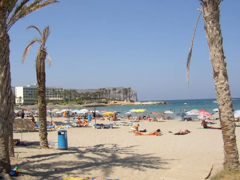 Playa del Arenal Strand, Javea12 km SO
-
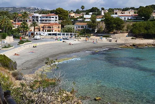 platja de la Fustera Strand, Provinz Alicante18 km S
-
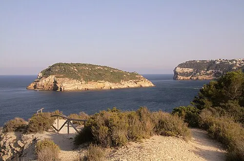 Illa del Portitxol Insel, Landes Valencia16 km SO
-
Cala Moraig Strand, Provinz Alicante16 km SO
-
Cala del Portixol Strand, Provinz Alicante16 km SO
-
Playa La Galera Strand, Provinz Alicante17 km S
-
Playa de Carambolo Strand, Provinz Alicante17 km SO
Quellen & Lizenzen
Daten zuletzt aktualisiert: