Wakefield
Liegt in England, Vereinigtes Königreich Koordinaten: 53°40′51″ N 1°29′56″ W
Der Name dieses Ortes wurde in dieser Sprache noch nicht verifiziert und wird in der Originalform angezeigt.
- Einwohner
- 367.666
- 367.666
- Höhe
- 42 m
- über dem Meeresspiegel
- Ortszeit
- UTC+00:00
- Europe/London · UTC+00:00
- Orte darin
- 134
- unter Wakefield verzeichnet
Über Wakefield
Wakefield ist ein Bezirk. Lage: England, Vereinigtes Königreich. Einwohner: 367.666.
Im Vergleich
- 19 Sehenswürdigkeiten und Naturorte im Umkreis von 10 km Chantry Chapel, Stennard Island
- Hier verzeichnet: Stadtteil: 67, Gemeinde: 30, Dorf: 13, Kleinstadt: 5
Orte in Wakefield
134 Orte-
Wakefield Stadt109.766
-
Castleford Kleinstadt45.106
-
Pontefract Kleinstadt44.710
-
Ossett Kleinstadt21.861
-
Knottingley Kleinstadt13.804
-
Horbury Kleinstadt10.225
-
Ferrybridge Dorf1491
-
Kirkhamgate Dorf992
-
Ackworth Gemeinde
-
Addingford Stadtteil
-
Airedale Stadtteil
-
Alverthorpe Dorf
-
Badsworth Gemeinde
-
Belle Isle Stadtteil
-
Belle Vue Stadtteil
-
Borough Corner Stadtteil
-
Bottomboat Stadtteil
-
Brandy Carr Dorf
-
Brooks Bank Stadtteil
-
Broomhill Stadtteil
-
Calder Island Insel
-
Calder Vale Stadtteil
-
Carleton Dorf
-
Castleford Ings Stadtteil
-
Chantry Chapel Sehenswürdigkeit
-
Chequerfield Stadtteil
-
Chevet Gemeinde
-
Clayton Hill Stadtteil
-
Crigglestone Gemeinde
-
Crofton Gemeinde
-
Cutsyke Stadtteil
-
Darrington Gemeinde
-
Eastbourne Stadtteil
-
East Hardwick Gemeinde
-
Eastmoor Dorf
-
England Lane Stadtteil
-
Fall Ings Stadtteil
-
Featherstone Gemeinde
-
Ferrybridge Hill Stadtteil
-
Flushdyke Stadtteil
-
Gawthorpe Stadtteil
-
Gilcar Stadtteil
-
Glass Houghton Stadtteil
-
Haggs Hill Stadtteil
-
Half Acres Stadtteil
-
Hall Cliffe Stadtteil
-
Harewood Park Stadtteil
-
Havercroft with Cold Hiendley Gemeinde
-
Healey Stadtteil
-
Hemsworth Gemeinde
-
Hessle and Hill Top Gemeinde
-
Hightown Stadtteil
-
Holmfield Dorf
-
Horbury Bridge Stadtteil
-
Horbury Junction Stadtteil
-
Huntwick with Foulby and Nostell Gemeinde
-
Kings Mead Berg
-
Lady Balk Stadtteil
-
Lee Moor Stadtteil
Sehenswertes & Natur in der Nähe
Alles in der Nähe-
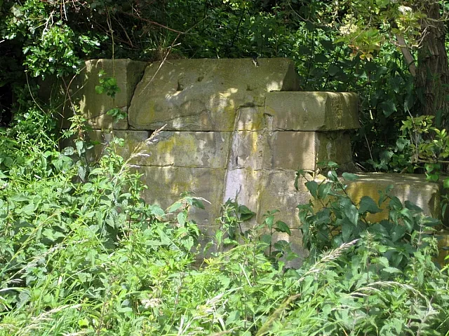 Rothwell Castle Historische Stätte, Leeds7,7 km N
-
 Elland Road Wahrzeichen, Morley12 km NW
-
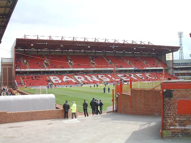 Oakwell Stadium Wahrzeichen, Stainborough14 km S
-
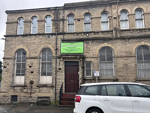 Baitus Samad Sehenswürdigkeit, Kirklees19 km W
-
Baitul Tauhid Mosque Sehenswürdigkeit, Kirklees19 km W
Quellen & Lizenzen
Daten zuletzt aktualisiert: