Wakefield
Situado en Inglaterra, Reino Unido Coordenadas: 53°40′51″ N 1°29′56″ O
El nombre de este lugar aún no se ha verificado en este idioma; se muestra en su forma original.
- Población
- 367.666
- 367,7 mil
- Altitud
- 42 m
- sobre el nivel del mar
- Hora local
- UTC+00:00
- Europe/London · UTC+00:00
- Lugares incluidos
- 134
- clasificados en Wakefield
Acerca de Wakefield
Wakefield es un distrito. Ubicación: Inglaterra, Reino Unido. Población: 367.666.
En comparación
- 19 lugares de interés y naturales a menos de 10 km Chantry Chapel, Stennard Island
- Incluye: Barrio: 67, Municipio: 30, Pueblo: 13, Localidad: 5
Lugares en Wakefield
134 lugares-
Wakefield Ciudad109,8 mil
-
Castleford Localidad45,1 mil
-
Pontefract Localidad44,7 mil
-
Ossett Localidad21,9 mil
-
Knottingley Localidad13,8 mil
-
Horbury Localidad10,2 mil
-
Ferrybridge Pueblo1,5 mil
-
Kirkhamgate Pueblo992
-
Ackworth Municipio
-
Addingford Barrio
-
Airedale Barrio
-
Alverthorpe Pueblo
-
Badsworth Municipio
-
Belle Isle Barrio
-
Belle Vue Barrio
-
Borough Corner Barrio
-
Bottomboat Barrio
-
Brandy Carr Pueblo
-
Brooks Bank Barrio
-
Broomhill Barrio
-
Calder Island Isla
-
Calder Vale Barrio
-
Carleton Pueblo
-
Castillo de Sandal Sitio histórico
-
Castleford Ings Barrio
-
Chantry Chapel Atracción turística
-
Chequerfield Barrio
-
Chevet Municipio
-
Clayton Hill Barrio
-
Crigglestone Municipio
-
Crofton Municipio
-
Cutsyke Barrio
-
Darrington Municipio
-
Eastbourne Barrio
-
East Hardwick Municipio
-
Eastmoor Pueblo
-
England Lane Barrio
-
Fall Ings Barrio
-
Featherstone Municipio
-
Ferrybridge Hill Barrio
-
Flushdyke Barrio
-
Gawthorpe Barrio
-
Gilcar Barrio
-
Glass Houghton Barrio
-
Glasshoughton Colliery Tip Montaña
-
Haggs Hill Barrio
-
Half Acres Barrio
-
Hall Cliffe Barrio
-
Harewood Park Barrio
-
Havercroft with Cold Hiendley Municipio
-
Healey Barrio
-
Hemsworth Municipio
-
Hessle and Hill Top Municipio
-
Hightown Barrio
-
Holmfield Pueblo
-
Horbury Bridge Barrio
-
Horbury Junction Barrio
-
Huntwick with Foulby and Nostell Municipio
-
Kings Mead Montaña
-
Lady Balk Barrio
Atracciones y naturaleza cercanas
Todo lo cercano-
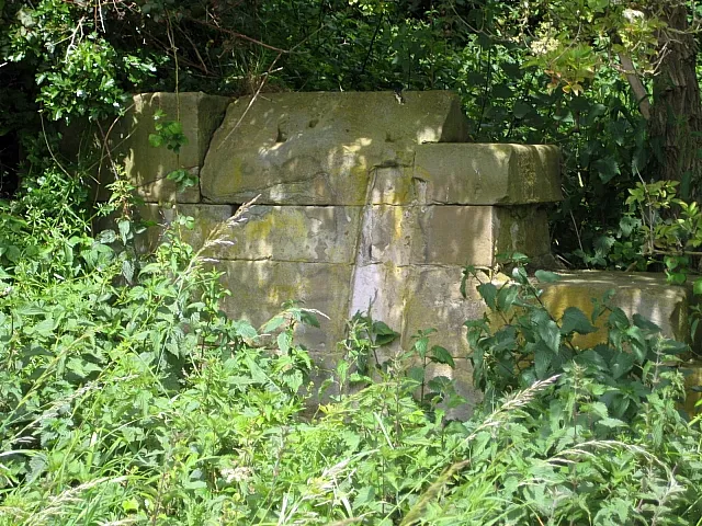 Rothwell Castle Sitio histórico, Leeds7,7 km N
-
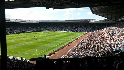 Elland Road Monumento, Morley12 km NO
-
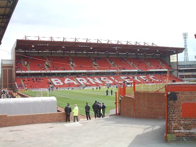 Oakwell Stadium Monumento, Stainborough14 km S
-
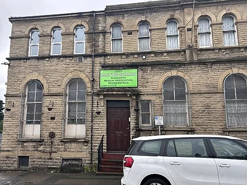 Baitus Samad Atracción turística, Kirklees19 km O
-
Baitul Tauhid Mosque Atracción turística, Kirklees19 km O
Fuentes y licencias
Datos actualizados por última vez: