Normanton
Liegt in Wakefield, England Koordinaten: 53°42′14″ N 1°25′43″ W
Der Name dieses Ortes wurde in dieser Sprache noch nicht verifiziert und wird in der Originalform angezeigt.
- Höhe
- 37 m
- über dem Meeresspiegel
- Ortszeit
- UTC+00:00
- Europe/London · UTC+00:00
- Orte darin
- 10
- unter Normanton verzeichnet
Über Normanton
Normanton ist eine Gemeinde. Lage: Wakefield, England. Höhe: 37 m.
Im Vergleich
- Nächstgrößerer Ort: Methley, 3 km NO
- 24 Sehenswürdigkeiten und Naturorte im Umkreis von 10 km Whitwood Ferry Hill, Zion Christian Centre
- Hier verzeichnet: Stadtteil: 7, Dorf: 3
Orte in Normanton
10 Orte-
Altofts Dorf
-
Ashfield Stadtteil
-
Ellentrees Stadtteil
-
Hopetown Stadtteil
-
Lofthouse Gate Dorf
-
Low Common Stadtteil
-
Lower Altofts Stadtteil
-
Normanton Dorf
-
Woodhouse Stadtteil
-
Woodhouse Common Stadtteil
Sehenswertes & Natur in der Nähe
Alles in der Nähe-
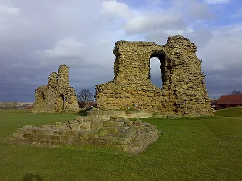 Sandal Castle Historische Stätte, Wakefield6,5 km SW
-
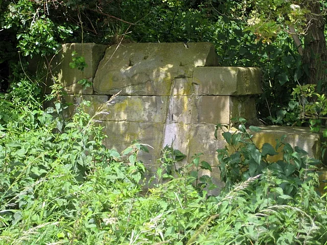 Rothwell Castle Historische Stätte, Leeds6,2 km NW
-
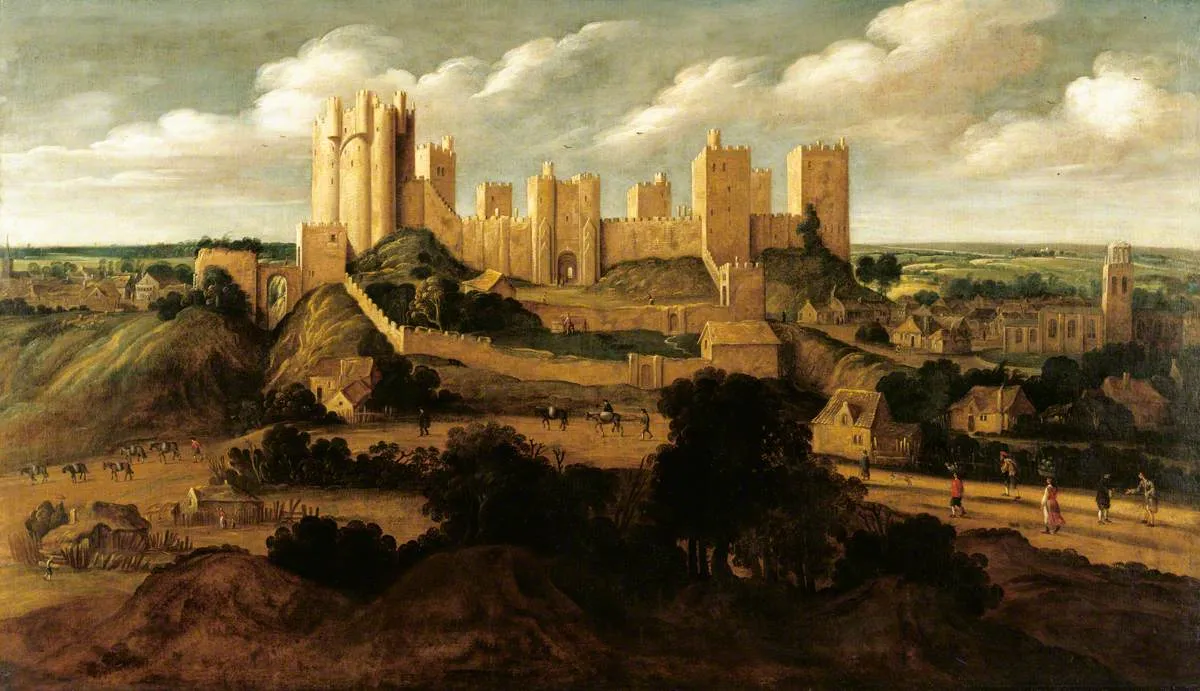 Pontefract Castle Historische Stätte, Wakefield8,3 km O
-
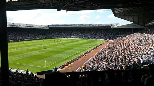 Elland Road Wahrzeichen, Morley13 km NW
-
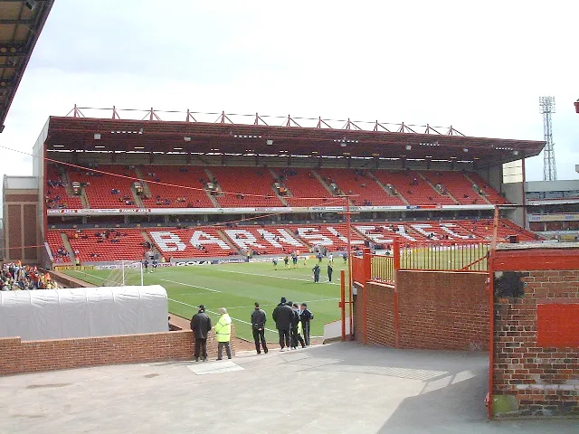 Oakwell Stadium Wahrzeichen, Stainborough17 km S
Weitere Städte und Orte in Wakefield
-
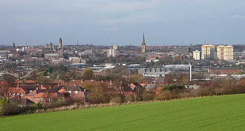 Wakefield Stadt, Wakefield5,1 km SW
-
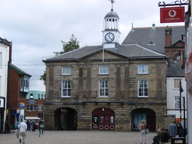 Pontefract Kleinstadt, Wakefield7,8 km O
-
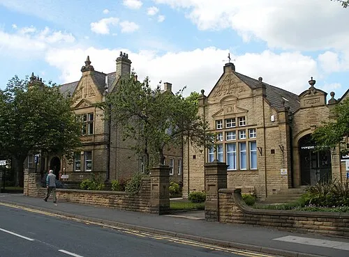 Horbury Kleinstadt, Wakefield10 km SW
-
 Knottingley Kleinstadt, Wakefield11 km O
Quellen & Lizenzen
Daten zuletzt aktualisiert: