Admont
Located in Liezen District, Styria Coordinates: 47°33′42″ N 14°28′19″ E
- Population
- 5,049
- 5K
- Elevation
- 851 m
- above sea level
- Local time
- UTC+01:00
- Europe/Vienna · UTC+01:00
- Places inside
- 90
- listed under Admont
About Admont
Admont is a municipality. Location: Liezen District, Styria. Population: 5,049. Elevation: 851 m.
In comparison
- No. 4 of 29 places in Liezen District by population
- Nearest larger town: Rottenmann, 10 km SW
- 99 sights and natural places within 10 km Hahnstein, Steinerner Wirt
- Listed here: Mountain: 52, Village: 26, Neighbourhood: 8, Historic site: 3
Places in Admont
90 places-
Mühlau Neighbourhood
-
Mühlauer Stadel Mountain
-
Oberhall Neighbourhood
-
Oberhofsiedlung Neighbourhood
-
Paradies Village
-
Pfarrmauer Mountain
-
Planspitze Mountain
-
Radmerer Village
-
Radmererkogel Mountain
-
Riffel Mountain
-
Scheiblingstein Mountain
-
Schloss Kaiserau Historic site
-
Schloss Röthelstein Historic site
-
Schröckendorf Village
-
Schwarzenbach Village
-
Sonnberg Village
-
Sparafeld Mountain
-
Stadelfeldschneid Mountain
-
Steinernmandl Mountain
-
Steinfeldsiedlung Neighbourhood
-
Stockerkogel Mountain
-
Tamischbachturm Mountain
-
Totenköpfl Mountain
-
Treffner Village
-
Turmstein Mountain
-
Unterhall Neighbourhood
-
Weng bei Admont Village
-
Zilmkogel Mountain
-
Zinödl Mountain
-
Zirnitz Neighbourhood
Nearby attractions & nature
Everything nearby-
Steinerner Wirt Natural site, Styria1.5 km SE
-
Klosterkogel Mountain, Rottenmann3.2 km SW
-
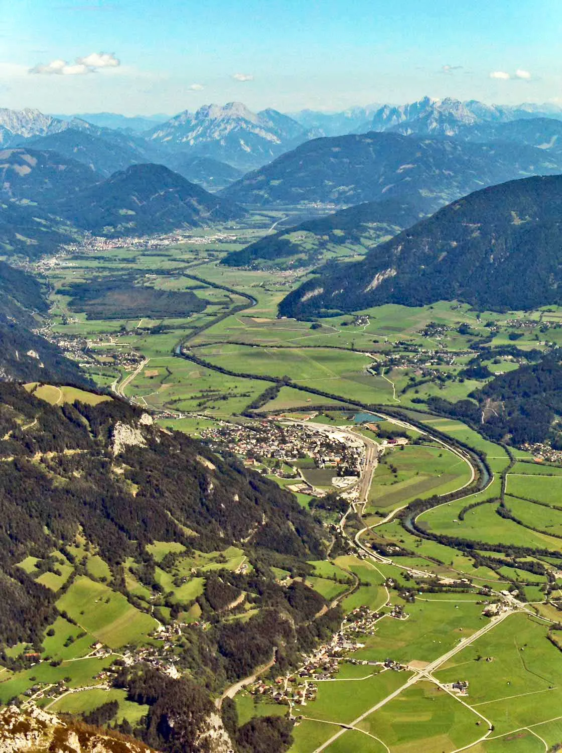 Ennstal Natural site, Styria3.8 km NW
-
Lichtmeßbach River, Styria2.5 km N
-
Eßlingbach River, Styria2.5 km N
-
Toneck Mountain, Rottenmann3.5 km SW
-
Kaiseraubach River, Styria3.2 km S
-
Hallbach River, Styria3.2 km NE
Sources & licences
Data last updated: