Bács-Kiskun county
Located in Hungary Coordinates: 46°30′00″ N 19°25′00″ E
- Population
- 505,602
- 505.6K
- Elevation
- 126 m
- above sea level
- Local time
- UTC+01:00
- Europe/Budapest · UTC+01:00
- Places inside
- 143
- listed under Bács-Kiskun county
About Bács-Kiskun county
Bács-Kiskun county is a region. Location: Hungary. Population: 505,602.
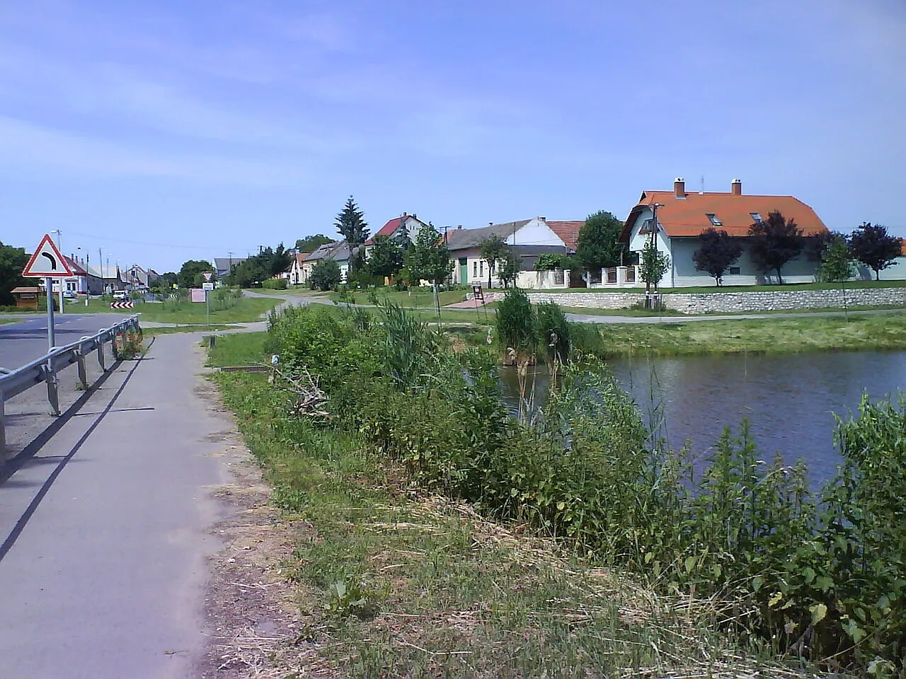
Bács-Kiskun (Hungarian: Bács-Kiskun megye, pronounced [ˈbaːt͡ʃ ˈkiʃkun]; Croatian and Serbian: Bačko-kiškunska županija; German: Komitat Bács-Kiskun) is a county (megye in Hungarian) located in southern Hungary. It was created by the merger of the pre-World War II Bács-Bodrog and the southern parts of Pest-Pilis-Solt-Kiskun counties. With an area of 8,445 km2 (3,261 sq mi), Bács-Kiskun is the largest county in the country, slightly larger than Cyprus. The terrain is mostly flat with slight emergences around Baja.
Read more on Wikipedia Text: Wikipedia contributors · CC BY-SA 4.0 · shortened
At a glance
- Built
- 1950
- Area
- 8,445 km²
Source: Wikidata
In comparison
- 3 sights and natural places within 10 km Pirtó, Soltvadkert Ghetto
- Listed here: Village: 97, City: 11, District: 11, Historic site: 10
Places in Bács-Kiskun county
143 places-
Csengőd Village2.3K
-
Kunfehértó Village2.3K
-
Városföld Village2.2K
-
Dávod Village2.2K
-
Bátya Village2.2K
-
Apostag Village2.1K
-
Csávoly Village2.1K
-
Pálmonostora Village2.1K
-
Nemesnádudvar Village2K
-
Felsőszentiván Village2K
-
Tázlár Village2K
-
Szentkirály Village2K
-
Ágasegyháza Village1.9K
-
Bócsa Village1.8K
-
Kunbaja Village1.8K
-
Csólyospálos Village1.7K
-
Kunszállás Village1.7K
-
Fajsz Village1.7K
-
Balotaszállás Village1.7K
-
Miske Village1.6K
-
Foktő Village1.6K
-
Ladánybene Village1.6K
-
Homokmégy Village1.5K
-
Kunadacs Village1.5K
-
Bátmonostor Village1.5K
-
Dunaegyháza Village1.4K
-
Csátalja Village1.4K
-
Petőfiszállás Village1.5K
-
Borota Village1.3K
-
Szeremle Village1.4K
-
Bácsszőlős Village1.4K
-
Soltszentimre Village1.2K
-
Bácsborsód Village1.2K
-
Rém Village1.2K
-
Páhi Village1.2K
-
Tabdi Village1.2K
-
Szakmár Village1.2K
-
Fülöpjakab Village1.2K
-
Tataháza Village1.2K
-
Kaskantyú Village1K
-
Uszód Village1K
-
Géderlak Village997
-
Pirtó Village992
-
Dunaszentbenedek Village960
-
Csikéria Village942
-
Tiszaug Village889
-
Zsana Village875
-
Felsőlajos Village864
-
Imrehegy Village845
-
Fülöpháza Village841
-
Kömpöc Village803
-
Öregcsertő Village760
-
Harkakötöny Village707
-
Kunpeszér Village681
-
Kunbaracs Village618
-
Érsekhalma Village532
-
Dunatetétlen Village528
-
Ordas Village502
-
Móricgát Village499
-
Mátételke Village483
Other regions in Hungary
-
 Tolna County Region, Hungary64 km W
-
Kiskunhalasi Járás District, Bács-Kiskun county18 km SE
-
Kiskunmajsai Járás District, Bács-Kiskun county24 km E
-
Csongrád megye Region, Hungary65 km E
-
Jánoshalmai Járás District, Bács-Kiskun county25 km S
-
Kalocsai Járás District, Bács-Kiskun county29 km W
Sources & licences
Data last updated: · 2 independent sources