Nógrád megye
Located in Hungary Coordinates: 48°00′00″ N 19°35′00″ E
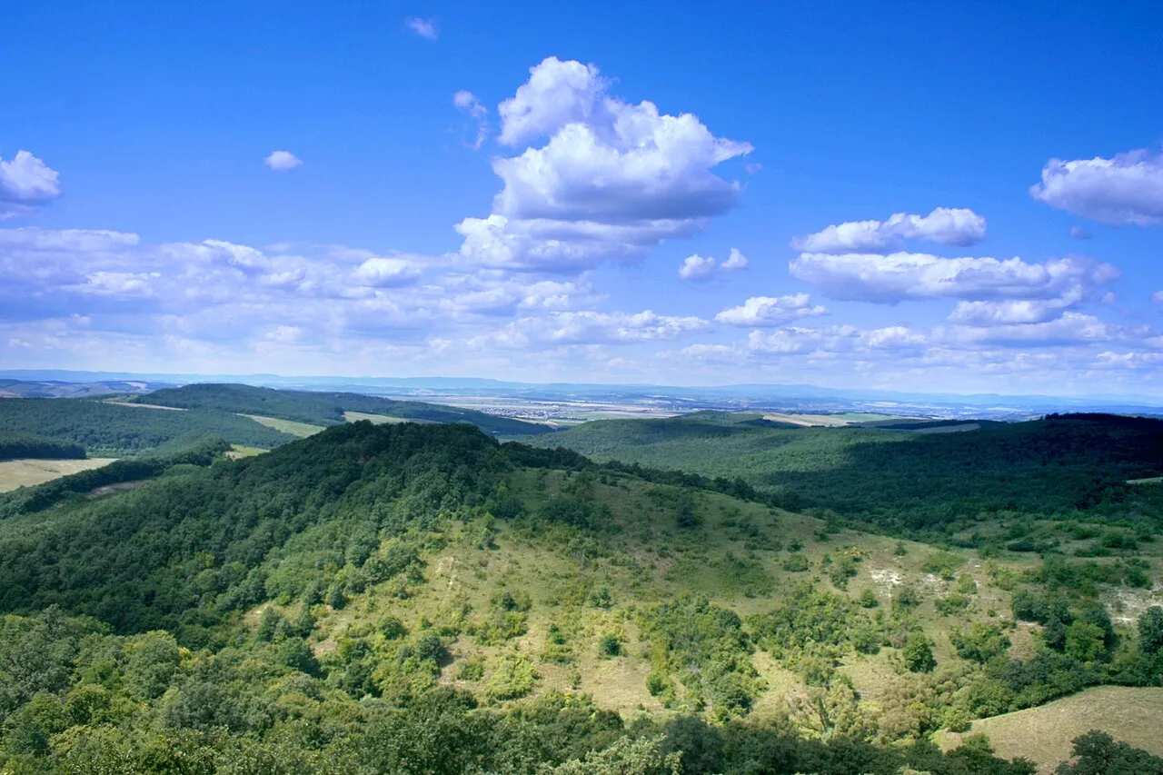
- Population
- 190,947
- 190.9K
- Elevation
- 284 m
- above sea level
- Local time
- UTC+01:00
- Europe/Budapest · UTC+01:00
- Places inside
- 142
- listed under Nógrád megye
About Nógrád megye
Nógrád megye is a region. Location: Hungary. Population: 190,947.
Nógrád (Hungarian: Nógrád megye, pronounced [ˈnoːɡraːd]; Slovak: Novohradská župa) is a county (Hungarian: megye) of Hungary. It sits on the northern edge of Hungary and borders Slovakia.
Read more on Wikipedia Text: Wikipedia contributors · CC BY-SA 4.0 · shortened
At a glance
- Built
- 1950
- Area
- 2,546 km²
Source: Wikidata
In comparison
- Listed here: Village: 121, District: 6, City: 5, Mountain: 5
Places in Nógrád megye
142 places-
Kozárd Village177
-
Iliny Village168
-
Felsőtold Village138
-
Cserhátszentiván Village125
-
Debercsény Village91
-
Kutasó Village91
-
Garáb Village57
-
Balassagyarmat Ghetto Historic site
-
Balassagyarmati Járás District
-
Bátonyterenyei Járás District
-
Hármashatár-hegy Mountain
-
Kisterenye Ghetto Historic site
-
Lajszka Mountain
-
Nagy-Mána Mountain
-
Nyerges Mountain
-
Rétsági Járás District
-
Salgó Mountain
-
Salgótarján Ghetto Historic site
-
Salgótarjáni Járás District
-
Szécsény Ghetto Historic site
-
Szécsényi Járás District
-
Zagyvaróna Neighbourhood
Other regions in Hungary
-
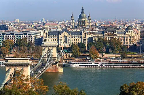 Budapest Region, Hungary67 km SW
-
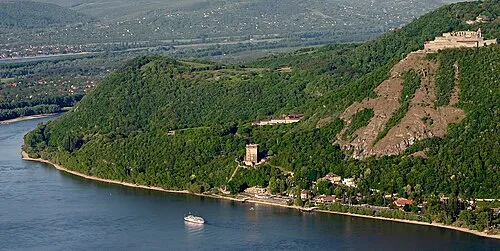 Pest County Region, Hungary68 km S
-
Pásztói Járás District, Nógrád megye15 km S
-
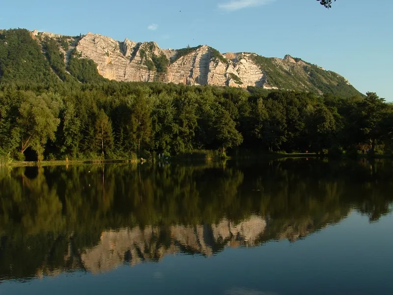 Heves County Region, Hungary53 km E
-
Eger District District, Heves County60 km E
-
Váci Járás District, Pest County35 km SW
Sources & licences
Data last updated: · 2 independent sources