- Elevation
- 29 m
- above sea level
- Local time
- UTC+03:00
- Europe/Istanbul · UTC+03:00
- Airports
- COV Çukurova International Airport67 km
- HTY Hatay Airport85 km
About Ceyhan Bucağı
Ceyhan Bucağı is a municipality. Location: Adana Province, Turkey. Elevation: 29 m. The best months to visit are April, November. The nearest airport is Çukurova International Airport (67 km). Nearby sights include Mercin Suyu and Yılanlı Tepesi.
Climate of Ceyhan Bucağı
Best months for sightseeingBest months for sightseeing: April, November.
This month · November
A good month to visit
Day 22° · Night 10° · Rain 71 mm
- Hottest month
- August (day 35°)
- Coldest month
- January (night 5°)
- Wettest month
- December (123 mm)
- Driest month
- August (13 mm)
Bars: average monthly low and high temperature. Below: precipitation. Monthly averages for 1970–2000 at about 18 km resolution, adjusted for elevation. Highlighted months are mild and relatively dry. Source: WorldClim 2.1 (CC BY 4.0).
Show values as a table
| Month | Jan | Feb | Mar | Apr | May | Jun | Jul | Aug | Sep | Oct | Nov | Dec |
|---|---|---|---|---|---|---|---|---|---|---|---|---|
| Average high (°C) | 15° | 16° | 19° | 24° | 28° | 32° | 35° | 35° | 34° | 29° | 22° | 17° |
| Average low (°C) | 5° | 6° | 8° | 12° | 16° | 20° | 23° | 23° | 20° | 16° | 10° | 7° |
| Precipitation (mm) | 109 | 88 | 85 | 74 | 61 | 32 | 14 | 13 | 23 | 58 | 71 | 123 |
How to get to Ceyhan Bucağı
The nearest airport is Çukurova International Airport (COV), 67 km to the west as the crow flies. The nearest large city is Osmaniye, 39 km to the east.
Airports
- Çukurova International Airport (COV) Tarsus 67 kmwest
- Hatay Airport (HTY) Antakya 85 kmsoutheast
- Kahramanmaraş Airport (KCM) Kahramanmaraş 117 kmnortheast
Nearby large cities
- Osmaniye Population: 202.8K 39 kmeast
- Adana Population: 1.8M 43 kmwest
- İskenderun Population: 251.7K 58 kmsoutheast
- Arsuz Population: 109.6K 68 kmsouth
- Tarsus Population: 350.7K 82 kmwest
Straight-line distances; road distances are longer. Airport data: OurAirports.
Day trips from Ceyhan Bucağı
Within 100 km: 44 historic and cultural sites, 411 natural sites, 239 lakes, rivers and coasts.
0–25 km27 places
- Koca Tepe Mountain 24 kmSW
- Kaplan Tepesi Mountain 20 kmS
- Hespek Tepesi Mountain 12 kmSE
- Delihalil Tepe Mountain 23 kmE
25–60 km216 places
- Karatepe Aslantaşı Milli Parkı Natural site 50 kmNE
- Nergizi Adasi Island 53 kmSW
- Ömer Gölü Island 36 kmS
- Yapı Gölü Lake 41 kmSW
60–100 km451 places
- Küçük Ada Island 61 kmSW
- Lake Tuzla Lake 77 kmSW
- Örmeli Göl Lake 83 kmE
- Arıklıkaş Göleti Lake 65 kmE
Straight-line distances.
Nearby attractions & nature
Everything nearby-
Mercin Suyu River, Adana Province7.2 km NE
-
Yılanlı Tepesi Mountain, Ceyhan7.2 km W
-
Ada Tepesi Mountain, Ceyhan7.8 km E
-
Handeresi River, Adana Province9.7 km NW
-
Karaçalılı Deresi River, Adana Province14 km NW
-
Kavaklı Dere River, Adana Province14 km W
-
Kantere Deresi River, Adana Province14 km N
-
Karasu Çayı River, Adana Province16 km NE
Other cities and towns in Adana Province
-
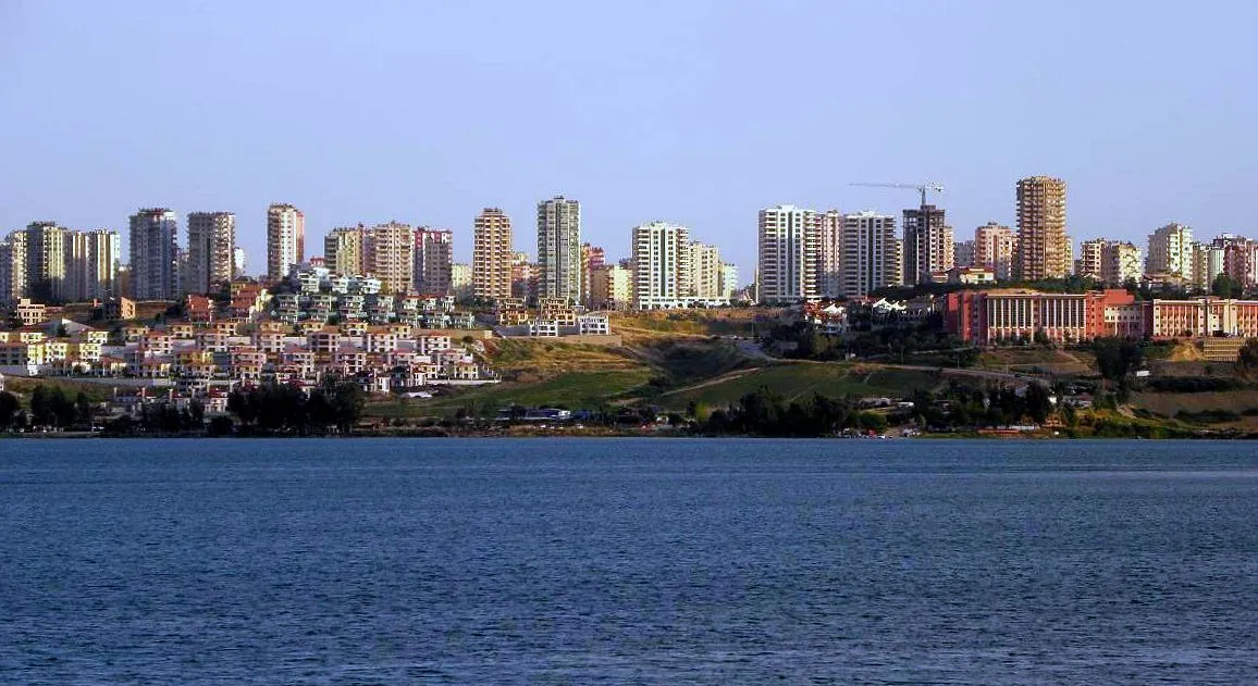 Adana City, Adana Province43 km W
-
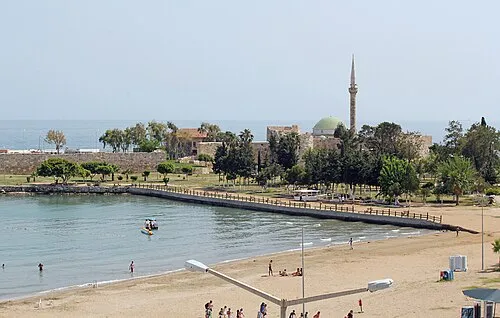 Ayas City, Yumurtalık28 km S
-
Yakapınar Bucağı Municipality, Adana Province16 km W
-
Sarıçam City, Sarıçam31 km NW
-
İmamoğlu City, İmamoğlu30 km NW
-
Sağkaya Bucağı Municipality, Adana Province21 km NW
Sources & licences
Data last updated: