Mamak İlçesi
Located in Ankara Province, Turkey Coordinates: 39°56′45″ N 32°54′29″ E
- Population
- 568,396
- 568.4K
- Elevation
- 953 m
- above sea level
- Local time
- UTC+03:00
- Europe/Istanbul · UTC+03:00
- Places inside
- 81
- listed under Mamak İlçesi
About Mamak İlçesi
Mamak İlçesi is a district. Location: Ankara Province, Turkey. Population: 568,396.
In comparison
- 67 sights and natural places within 10 km İbadullah Cami, Altıağaç Türkçe Camii
- Listed here: Neighbourhood: 45, Attraction: 18, Village: 14, Mountain: 2
Climate of Mamak İlçesi
Best months for sightseeing: May–June, September–October.
| Month | Jan | Feb | Mar | Apr | May | Jun | Jul | Aug | Sep | Oct | Nov | Dec |
|---|---|---|---|---|---|---|---|---|---|---|---|---|
| Average high (°C) | 3° | 6° | 11° | 17° | 22° | 26° | 30° | 29° | 25° | 19° | 12° | 5° |
| Average low (°C) | -4° | -3° | 0° | 5° | 9° | 12° | 15° | 15° | 11° | 6° | 1° | -2° |
| Precipitation (mm) | 46 | 37 | 37 | 45 | 55 | 33 | 14 | 10 | 15 | 29 | 32 | 47 |
Monthly averages for 1970–2000 at about 18 km resolution, adjusted for elevation. Highlighted months are mild and relatively dry. Source: WorldClim 2.1 (CC BY 4.0).
Airports nearest to Mamak İlçesi
- Esenboğa International Airport (ESB) Ankara 22 km
- Kastamonu Airport (KFS) Kastamonu 169 km
- Zonguldak Çaycuma Airport (ONQ) Zonguldak 187 km
Straight-line distance; airports with scheduled flights only. Source: OurAirports (public domain).
Places in Mamak İlçesi
81 places-
Orta Camii Attraction
-
Ortaköy Village
-
Ortatepe Camii Attraction
-
Öz Village
-
Peyami Safa Neighbourhood
-
Şafaktepe Neighbourhood
-
Şahintepe Neighbourhood
-
Saimekadın Neighbourhood
-
Şarap Gürler Neighbourhood
-
Şehit Cengiz Topel Neighbourhood
-
Şehitlik Neighbourhood
-
Şirintepe Neighbourhood
-
Türközü Neighbourhood
-
Tuzluçayır Neighbourhood
-
Üreğil Neighbourhood
-
Yatık Musluk Neighbourhood
-
Yavuzlar Village
-
Yeşikbayır Merkez Camii Attraction
-
Yeşilbayır Kurubaraj Camii Attraction
-
Yukarı Bayındır Village
-
Yukarı İmrahor Village
Nearby attractions & nature
Everything nearby-
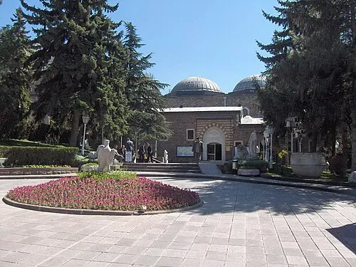 Museum of Anatolian Civilizations Museum, Altındağ4.1 km W
-
Hüda-i Battalgazi Camii Attraction, Altındağ2.2 km NE
-
Nurullah Camii Attraction, Altındağ3 km N
-
Altınpark Natural site, Altındağ3.1 km NW
-
Lala Deresi River, Ankara Province3.8 km E
-
Engürü Camii Attraction, Altındağ3.4 km W
Sources & licences
Data last updated: