Isparta Province
Local name: Isparta ili
Located in Turkey Coordinates: 38°00′00″ N 31°00′00″ E
- Population
- 446,409
- 446.4K
- Elevation
- 1,431 m
- above sea level
- Local time
- UTC+03:00
- Europe/Istanbul · UTC+03:00
- Places inside
- 81
- listed under Isparta Province
About Isparta Province
Isparta Province is a region. Location: Turkey. Population: 446,409.
Isparta Province (Turkish: Isparta ili) is a province in southwestern Turkey. Its adjacent provinces are Afyon to the northwest, Burdur to the southwest, Antalya to the south, and Konya to the east. Its area is 8,946 km2, and its population is 445,325 (2022). The provincial capital is Isparta. The province is well known for producing apples, sour cherries, grapes, roses and rose products, and carpets. The best fertile lands are in Uluborlu.
Read more on Wikipedia Text: Wikipedia contributors · CC BY-SA 4.0 · shortened
At a glance
- Area
- 8,993 km²
Source: Wikidata
In comparison
- 5 sights and natural places within 10 km Çal Dağı, Şevkettarla Deresi
- Listed here: River: 30, Municipality: 15, District: 13, Natural site: 9
Places in Isparta Province
81 places-
Oku Çayı River
-
Şamlı Dere River
-
Şarki Karaağaç Bucağı Municipality
-
Şehirçayı Deresi River
-
Senirkent Bucağı Municipality
-
Şevkettarla Deresi River
-
Söğüt Dağı Mountain
-
Sorgun Deresi River
-
Suçıkarn Pınarı Natural site
-
Sulu Dere River
-
Sütçüler Bucağı Municipality
-
Uluborlu Bucağı Municipality
-
Uzun Ada Island
-
Veledin Deresi River
-
Yaka Deresi River
-
Yalvaç Bucağı Municipality
-
Yalvaç Çayı River
-
Yayla Deresi River
-
Yenişar Bademli Bucağı Municipality
-
Yeşil Ada Island
-
Yukarıçamlıca Deresi River
Largest cities and towns
Nature and heritage in Isparta Province
-
Toprak Tepesi Mountain, Yalvaç İlçesi
-
Orta Tepe Mountain, Senirkent İlçesi
-
Kuyucak Dağı Mountain, Sütçüler İlçesi
-
Kızıldağ Tepesi Mountain, Şarkîkaraağaç İlçesi
-
Kaymaz Tepe Mountain, Eğirdir İlçesi
-
Kara Tepe Mountain, Eğirdir İlçesi
Other regions in Turkey
-
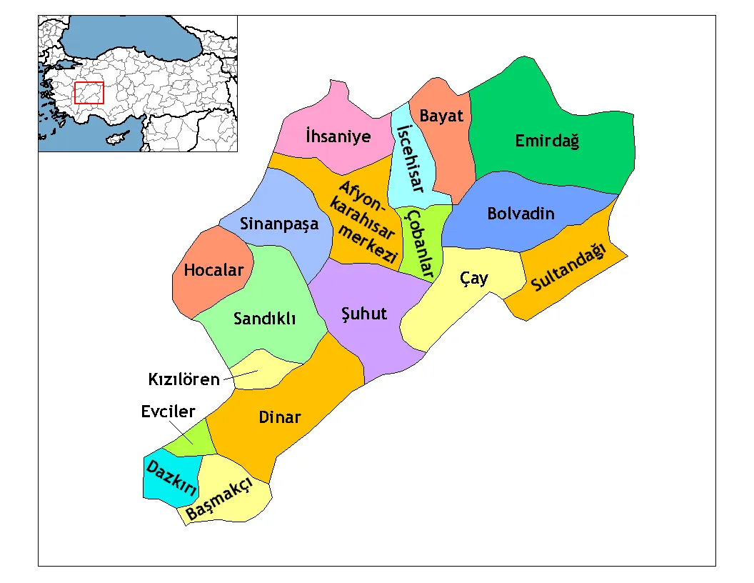 Afyonkarahisar Province Region, Turkey88 km N
-
Gelendost İlçesi District, Isparta Province15 km N
-
Eğirdir İlçesi District, Isparta Province20 km SW
-
Aksu İlçesi District, Isparta Province22 km S
-
Şarkîkaraağaç İlçesi District, Isparta Province35 km E
-
Atabey İlçesi District, Isparta Province31 km W
Sources & licences
Data last updated: · 2 independent sources