Malatya Province
Local name: Malatya ili
Located in Turkey Coordinates: 38°30′00″ N 38°00′00″ E
- Population
- 812,580
- 812.6K
- Elevation
- 1,165 m
- above sea level
- Local time
- UTC+03:00
- Europe/Istanbul · UTC+03:00
- Places inside
- 123
- listed under Malatya Province
About Malatya Province
Malatya Province is a region. Location: Turkey. Population: 812,580.
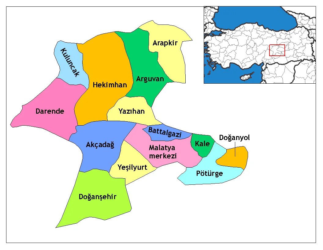
Malatya Province (Turkish: Malatya ili) is a province and metropolitan municipality of Turkey. Its area is 12,259 km2, and its population is 812,580 (2022). It is part of a larger mountainous area. The capital of the province is the city of Malatya, which has a population of 485,484 (2022). According to the Encyclopaedia of Islam, the province is considered part of Turkish Kurdistan.
Read more on Wikipedia Text: Wikipedia contributors · CC BY-SA 4.0 · shortened
At a glance
- Area
- 12,146 km²
Source: Wikidata
In comparison
- 6 sights and natural places within 10 km Ebreme Çayi, Ebremesuyu
- Listed here: River: 63, Municipality: 20, District: 13, Mountain: 10
Places in Malatya Province
123 places-
Yoncalı Bucağı Municipality
-
Yoncalı Deresi River
-
Yunus Deresi River
Largest cities and towns
-
Hanımçiftliği Town, Battalgazi13.3K
-
Dilek Town, Yeşilyurt İlçesi7.3K
-
Darende City, Darende İlçesi20.4K
-
Yakınca Town, Yeşilyurt İlçesi23.1K
-
Akçadağ City, Akçadağ İlçesi14.8K
-
Hekimhan City, Hekimhan İlçesi13.9K
-
Doğanşehir City, Doğanşehir İlçesi14.8K
-
Yeşilyurt Town, Yeşilyurt İlçesi13.8K
Nature and heritage in Malatya Province
-
Şakşak Dağı Mountain, Battalgazi
-
Kurudağ Mountain, Doğanşehir İlçesi
-
Koru Dağı Mountain, Doğanşehir İlçesi
-
Kepez Dağı Mountain, Akçadağ İlçesi
-
Harami Tepesi Mountain, Darende İlçesi
-
Gayrık Tepesi Mountain, Battalgazi
Other regions in Turkey
-
Adıyaman Province Region, Turkey86 km S
-
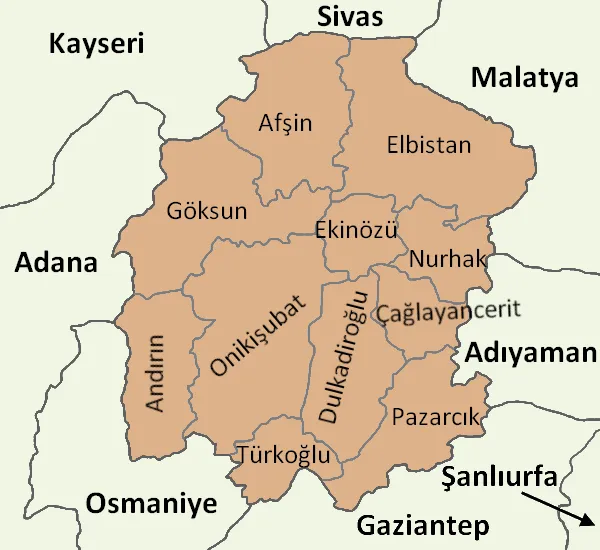 Kahramanmaraş Province Region, Turkey104 km SW
-
Akçadağ İlçesi District, Malatya Province17 km S
-
Yazıhan İlçesi District, Malatya Province19 km NE
-
Yeşilyurt İlçesi District, Malatya Province31 km SE
-
Battalgazi District, Malatya Province41 km E
Sources & licences
Data last updated: · 2 independent sources