Torridge District
Located in Devon, England Coordinates: 50°57′00″ N 4°24′00″ W
- Population
- 66,977
- 67K
- Elevation
- 179 m
- above sea level
- Local time
- UTC+00:00
- Europe/London · UTC+00:00
- Places inside
- 71
- listed under Torridge District
About Torridge District
Torridge District is a municipality. Location: Devon, England. Population: 66,977. Elevation: 179 m.
In comparison
- No. 7 of 8 places in Devon by population
- Nearest larger town: North Devon District, 35 km E
- 11 sights and natural places within 10 km Burford Hill, Bursdon Moor
- Listed here: Village: 63, Island: 3, Landmark: 2, Mountain: 2
Places in Torridge District
71 places-
St Peter's Stone Island
-
Sutcombe Village
-
Tetcott Village
-
Thornbury Village
-
Virginstow Village
-
Weare Giffard Village
-
Welcombe Village
-
West Putford Village
-
Winkleigh Village
-
Woolfardisworthy Village
-
Yarnscombe Village
Nearby attractions & nature
Everything nearby-
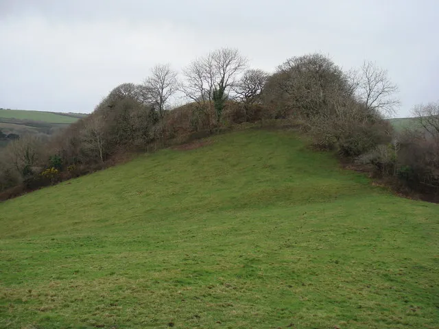 Penstowe Castle Historic site, Kilkhampton11 km SW
-
Barnstaple Bay Natural site, United Kingdom6.6 km NE
-
Beckland Bay Natural site, United Kingdom8.1 km NW
-
Knap Head Natural site, England11 km W
-
Shipload Bay Natural site, England10 km NW
-
Eastleigh Berrys Historic site, Launcells15 km SW
-
Collaton Hill Mountain, Kilkhampton12 km SW
-
Barley Bay Natural site, United Kingdom12 km NW
Sources & licences
Data last updated: