Herefordshire
Situado en Inglaterra, Reino Unido Coordenadas: 52°05′00″ N 2°45′00″ O
El nombre de este lugar aún no se ha verificado en este idioma; se muestra en su forma original.
- Población
- 191.047
- 191 mil
- Altitud
- 81 m
- sobre el nivel del mar
- Hora local
- UTC+00:00
- Europe/London · UTC+00:00
- Lugares incluidos
- 240
- clasificados en Herefordshire
- Aeropuertos
- BRS Bristol Airport78 km
- BHX Birmingham Airport80 km
Acerca de Herefordshire
Herefordshire es un distrito. Ubicación: Inglaterra, Reino Unido. Población: 191.047. Los mejores meses para visitarlo: junio–agosto. El aeropuerto más cercano es Bristol Airport (78 km). Cerca se encuentran Skenfrith Castle y Goytre Wood Motte.
Fotos de Herefordshire
-
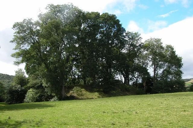
Dorstone Castle Philip Halling · CC BY-SA 2.0 -
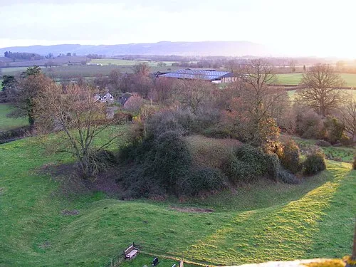
Almeley Castle R J Higginson · CC BY-SA 3.0 -
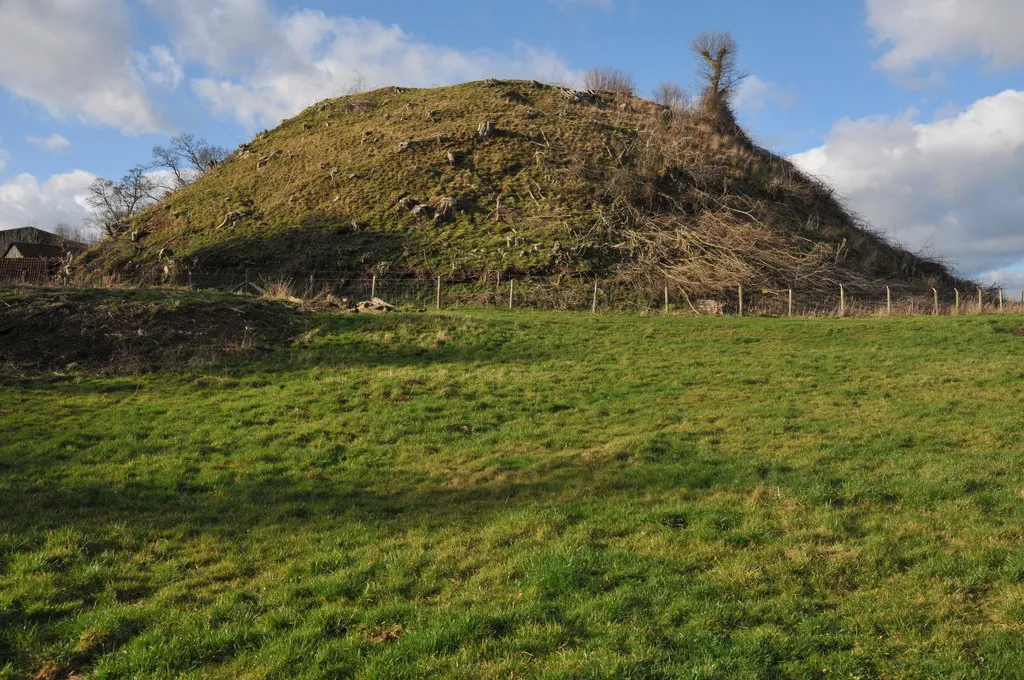
Ewyas Harold Castle Philip Halling · CC BY-SA 2.0 -
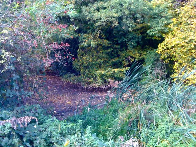
Orcop Castle Tony Powell · CC BY-SA 2.0 -
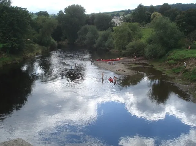
Bredwardine Castle Trevor Rickard · CC BY-SA 2.0


Clima de Herefordshire
Mejores meses para hacer turismoMejores meses para hacer turismo: junio–agosto.
Este mes · noviembre
Un mes frío
Día 10° · Noche 4° · Lluvia 66 mm
- Mes más cálido
- Julio (día 21°)
- Mes más frío
- Febrero (noche 1°)
- Mes más lluvioso
- Enero (77 mm)
- Mes más seco
- Julio (42 mm)
Barras: temperatura mínima y máxima media mensual. Debajo: precipitación. Promedios mensuales de 1970–2000 con una resolución de unos 18 km, corregidos según la altitud. Los meses destacados son templados y relativamente secos. Fuente: WorldClim 2.1 (CC BY 4.0).
Ver los valores en una tabla
| Mes | ene. | feb. | mar. | abr. | may. | jun. | jul. | ago. | sep. | oct. | nov. | dic. |
|---|---|---|---|---|---|---|---|---|---|---|---|---|
| Máxima media (°C) | 7° | 7° | 10° | 12° | 16° | 19° | 21° | 21° | 18° | 14° | 10° | 8° |
| Mínima media (°C) | 1° | 1° | 3° | 4° | 6° | 9° | 11° | 11° | 9° | 6° | 4° | 2° |
| Precipitación (mm) | 77 | 52 | 56 | 48 | 50 | 54 | 42 | 58 | 64 | 66 | 66 | 74 |
Cómo llegar a Herefordshire
El aeropuerto más cercano es Bristol Airport (BRS), a 78 km en línea recta hacia el sur. La gran ciudad más cercana es Worcester, a 38 km hacia el este.
Aeropuertos
- Bristol Airport (BRS) Bristol 78 kmsur
- Birmingham Airport (BHX) Birmingham, West Midlands 80 kmnoreste
- Cardiff International Airport (CWL) Cardiff 87 kmsuroeste
Grandes ciudades cercanas
- Worcester Población: 101,7 mil 38 kmeste
- Gloucester Población: 132,4 mil 42 kmsureste
- Cheltenham Población: 118,8 mil 50 kmsureste
- Newport Población: 161,5 mil 58 kmsur
- Dudley Población: 199,1 mil 65 kmnoreste
Distancias en línea recta; por carretera son mayores. Datos de aeropuertos: OurAirports.
Excursiones desde Herefordshire
A menos de 100 km: 1.051 sitios históricos y culturales, 2.251 espacios naturales, 150 lagos, ríos y costas.
0–25 km239 lugares
- The Island Isla 20 kmN
- Edmund's Tump Montaña 24 kmS
- Garway Hill Montaña 19 kmS
- Black Mountain Montaña 24 kmO
25–60 km1.198 lugares
- Alney Island Isla 42 kmSE
- Glover's Island Isla 54 kmE
- Bevere Island Isla 39 kmNE
- Llangorse Lake Lago 39 kmSO
60–100 km2.015 lugares
- Steep Holm Isla 86 kmS
- Flat Holm Isla 83 kmS
- Barry Island Isla 85 kmSO
- Sully Island Isla 82 kmS
Distancias en línea recta.
Lugares en Herefordshire
240 lugaresCiudades y pueblos60
- Docklow and Hampton Wafer · Municipio
- Donnington · Municipio
- Dormington · Municipio
- Dorstone · Municipio
- Downton · Municipio
- Dulas · Municipio
- Eardisland · Municipio
- Eardisley · Municipio
- Eastnor · Municipio
- Eaton Bishop · Municipio
- Edvin Loach and Saltmarshe · Municipio
- Edwyn Ralph · Municipio
- Eggleton · Municipio
- Elton · Municipio
- Evesbatch · Municipio
- Ewyas Harold · Municipio
- Eye, Moreton and Ashton · Municipio
- Eyton · Municipio
- Felton · Municipio
- Ford and Stoke Prior · Municipio
- Fownhope · Municipio
- Foy · Municipio
- Ganarew · Municipio
- Garway · Municipio
- Goodrich · Municipio
- Grafton · Municipio
- Grendon Bishop · Municipio
- Hampton Bishop · Municipio
- Hampton Charles · Municipio
- Harewood · Municipio
- Hatfield and Newhampton · Municipio
- Haywood · Municipio
- Hentland · Municipio
- Hereford · Municipio
- Holme Lacy · Municipio
- Holmer & Shelwick · Municipio
- Hope Mansell · Municipio
- Hope under Dinmore · Municipio
- How Caple · Municipio
- Humber · Municipio
- Huntington · Municipio
- Kenchester · Municipio
- Kenderchurch · Municipio
- Kentchurch · Municipio
- Kilpeck · Municipio
- Kimbolton · Municipio
- Kings Caple · Municipio
- Kingsland · Municipio
- King's Pyon · Municipio
- Kingstone · Municipio
- Kington · Municipio
- Kington Rural · Municipio
- Kinnersley · Municipio
- Kinsham · Municipio
- Knill · Municipio
- Laysters · Municipio
- Lea · Municipio
- Ledbury · Municipio
- Leinthall Starkes · Municipio
- Leintwardine · Municipio
Atracciones y naturaleza cercanas
Todo lo cercano-
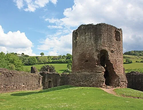 Skenfrith Castle Sitio histórico, Llangattock-Vibon-Avel23 km S
-
Goytre Wood Motte Sitio histórico, Crucorney24 km SO
Fuentes y licencias
Datos actualizados por última vez: