Rhénanie-Palatinat
Nom local: Rheinland-Pfalz
Situé dans Allemagne Coordonnées: 49°40′00″ N 7°30′00″ E
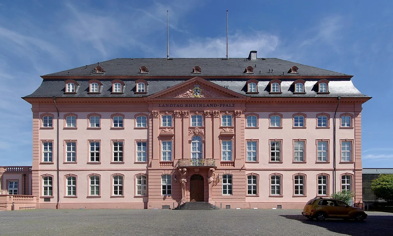
- Population
- 4 093 903
- 4,1 M
- Altitude
- 374 m
- au-dessus du niveau de la mer
- Heure locale
- UTC+01:00
- Europe/Berlin · UTC+01:00
- Lieux rattachés
- 1 018
- classés sous Rhénanie-Palatinat
À propos : Rhénanie-Palatinat
Rhénanie-Palatinat est une région. Situation : Allemagne. Population : 4 093 903.
La Rhénanie-Palatinat (en allemand : Rheinland-Pfalz, /ˈʁaɪ̯nlant ˈp͡falt͡s/ ) est l'un des seize États fédérés composant l'Allemagne. Elle a été créée le 30 août 1946 à partir de la partie nord de la zone française d'occupation et légalement confirmée par un référendum sur le projet de constitution le 18 mai 1947. Le jour de constitution du land est célébré chaque année le 18 mai.
Lire la suite sur Wikipédia Texte : contributeurs de Wikipédia · CC BY-SA 4.0 · abrégé
En bref
- Construction
- 1946
- Superficie
- 19 853 km²
Source : Wikidata
En comparaison
- 58 sites et lieux naturels à moins de 10 km Käsweilerhöhe, Molle-Berg
- Recensés ici : Cours d’eau: 576, Site naturel: 334, Commune: 36, Montagne: 33
Lieux : Rhénanie-Palatinat
1 018 lieux-
Kreisfreie Stadt Mainz Commune224,7 k
-
Landkreis Mayen-Koblenz Commune217,2 k
-
Westerwaldkreis Commune207,8 k
-
Landkreis Mainz-Bingen Commune206,5 k
-
Landkreis Neuwied Commune189,1 k
- 177,2 k
-
Landkreis Bad Kreuznach Commune164,7 k
-
Rhein-Pfalz-Kreis Commune155,9 k
-
Landkreis Trier-Saarburg Commune149 k
-
Landkreis Bad Dürkheim Commune134,3 k
-
Landkreis Altenkirchen Commune132,1 k
-
Landkreis Germersheim Commune131,4 k
-
Landkreis Alzey-Worms Commune131,2 k
-
Landkreis Ahrweiler Commune129,4 k
-
Rhin-Lahn Commune125,6 k
-
Trèves Commune104,3 k
-
Kreisfreie Stadt Koblenz Commune113,4 k
-
Landkreis Bernkastel-Wittlich Commune113,2 k
-
Landkreis Südliche Weinstraße Commune113 k
-
Rhein-Hunsrück-Kreis Commune106,7 k
-
Landkreis Kaiserslautern Commune106,3 k
-
Kreisfreie Stadt Kaiserslautern Commune100,4 k
-
Eifelkreis Bitburg-Prüm Commune99,8 k
-
Südwestpfalz Commune90 k
-
Kreisfreie Stadt Worms Commune86,8 k
-
Landkreis Birkenfeld Commune82,6 k
-
arrondissement de Mont-Tonnerre Commune74,8 k
-
Landkreis Kusel Commune69,3 k
-
Vulkaneifel Commune59,3 k
-
Landkreis Cochem-Zell Commune61,6 k
- 52,9 k
-
Kreisfreie Stadt Speyer Commune49,6 k
-
Landau in der Pfalz Commune48,2 k
- 48,1 k
-
Kreisfreie Stadt Pirmasens Commune39,8 k
-
Deux-Ponts Commune33,3 k
-
Aacher Bach Cours d’eau
-
Abtswald Site naturel
-
Achter Bach Cours d’eau
-
Adenauerbach Cours d’eau
-
Adonisquelle Site naturel
-
Ahbach Cours d’eau
-
Ahlbach Cours d’eau
-
Ahlsbach Cours d’eau
-
Ahr Cours d’eau
-
Ahrweiler Wald Site naturel
-
Akerbach Cours d’eau
-
Albach Cours d’eau
-
Albertgraben Cours d’eau
-
Albeßbach Cours d’eau
-
Alchenbach Cours d’eau
-
Alf Cours d’eau
-
Alfbach Cours d’eau
-
Alkener Bach Cours d’eau
-
Alsenz Cours d’eau
-
Altbach Cours d’eau
-
Altbach Cours d’eau
-
Altbach Cours d’eau
-
Altbach Cours d’eau
-
Altbach Cours d’eau
Principales villes
-
Neuwied Village, Landkreis Neuwied67,1 k
-
Germersheim Village, Landkreis Germersheim21,7 k
-
Mayen Village, Landkreis Mayen-Koblenz19,7 k
-
Alzey Village, Landkreis Alzey-Worms19,5 k
-
Mayence Village, Kreisfreie Stadt Mainz224,7 k
-
Schifferstadt Village, Rhein-Pfalz-Kreis21,4 k
-
Trèves Ville, Trier100,1 k
-
Mayence Ville, Mayence222,9 k
Nature et patrimoine : Rhénanie-Palatinat
-
Womrather Höhe Montagne, Schlierschied
-
Wüste-Berg Montagne, Anschau
-
Wüsch-Berg Montagne, Rückweiler
-
Wurschberg Montagne, Oberdiebach
-
Wurmberg Montagne, Stadecken-Elsheim
-
Wurm-Berg Montagne, Landau in der Pfalz
Autres régions : Allemagne
-
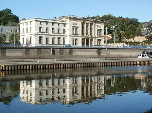 Sarre Région, Allemagne49 km SO
-
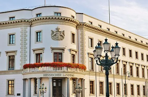 Hesse Région, Allemagne145 km NE
-
District de Darmstadt District, Hesse97 km NE
-
District de Karlsruhe District, Bade-Wurtemberg113 km SE
-
District de Cologne District, Rhénanie du Nord-Westphalie132 km N
-
District de Gießen District, Hesse146 km NE
Sources et licences
Données mises à jour le: · 2 sources indépendantes