Rhineland-Palatinate
Local name: Rheinland-Pfalz
Located in Germany Coordinates: 49°40′00″ N 7°30′00″ E
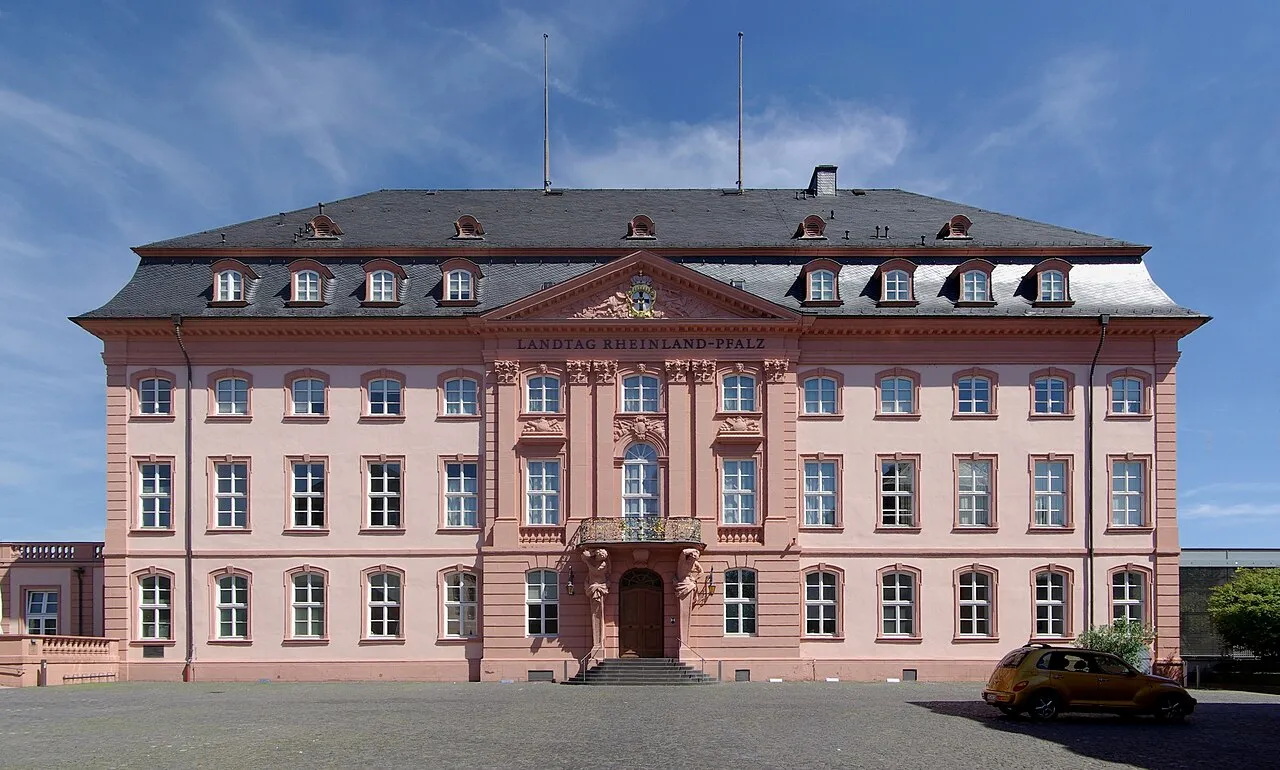
- Population
- 4,093,903
- 4.1M
- Elevation
- 374 m
- above sea level
- Local time
- UTC+01:00
- Europe/Berlin · UTC+01:00
- Places inside
- 1,018
- listed under Rhineland-Palatinate
About Rhineland-Palatinate
Rhineland-Palatinate is a region. Location: Germany. Population: 4,093,903.
Rhineland-Palatinate (German: Rheinland-Pfalz [ˌʁaɪnlant ˈpfalts] ; Palatine German: Rhoilond-Palz) is a landlocked state in western Germany. It covers 19,846 km2 (7,663 sq mi) and has about 4.05 million residents. It is the ninth largest and sixth most populous of the sixteen states. Mainz is the capital and largest city. Other cities are Ludwigshafen am Rhein, Koblenz, Trier, Kaiserslautern, Worms, and Neuwied.
Read more on Wikipedia Text: Wikipedia contributors · CC BY-SA 4.0 · shortened
At a glance
- Built
- 1946
- Area
- 19,853 km²
Source: Wikidata
In comparison
- 58 sights and natural places within 10 km Käsweilerhöhe, Molleberg
- Listed here: River: 576, Natural site: 334, Municipality: 36, Mountain: 33
Places in Rhineland-Palatinate
1,018 places-
Kreisfreie Stadt Mainz Municipality224.7K
-
Landkreis Mayen-Koblenz Municipality217.2K
-
Westerwaldkreis Municipality207.8K
-
Landkreis Mainz-Bingen Municipality206.5K
-
Landkreis Neuwied Municipality189.1K
-
Kreisfreie Stadt Ludwigshafen am Rhein Municipality177.2K
-
Landkreis Bad Kreuznach Municipality164.7K
-
Rhein-Pfalz-Kreis Municipality155.9K
-
Landkreis Trier-Saarburg Municipality149K
-
Landkreis Bad Dürkheim Municipality134.3K
-
Landkreis Altenkirchen Municipality132.1K
-
Landkreis Germersheim Municipality131.4K
-
Landkreis Alzey-Worms Municipality131.2K
-
Landkreis Ahrweiler Municipality129.4K
-
Rhein-Lahn-Kreis Municipality125.6K
-
Kreisfreie Stadt Trier Municipality104.3K
-
Kreisfreie Stadt Koblenz Municipality113.4K
-
Landkreis Bernkastel-Wittlich Municipality113.2K
-
Landkreis Südliche Weinstraße Municipality113K
-
Rhein-Hunsrück-Kreis Municipality106.7K
-
Landkreis Kaiserslautern Municipality106.3K
-
Kreisfreie Stadt Kaiserslautern Municipality100.4K
-
Eifelkreis Bitburg-Prüm Municipality99.8K
-
Südwestpfalz Municipality90K
-
Kreisfreie Stadt Worms Municipality86.8K
-
Landkreis Birkenfeld Municipality82.6K
-
Donnersbergkreis Municipality74.8K
-
Landkreis Kusel Municipality69.3K
-
Vulkaneifel Municipality59.3K
-
Landkreis Cochem-Zell Municipality61.6K
-
Kreisfreie Stadt Neustadt an der Weinstraße Municipality52.9K
-
Kreisfreie Stadt Speyer Municipality49.6K
-
Kreisfreie Stadt Landau in der Pfalz Municipality48.2K
-
Kreisfreie Stadt Frankenthal (Pfalz) Municipality48.1K
-
Kreisfreie Stadt Pirmasens Municipality39.8K
-
Kreisfreie Stadt Zweibrücken Municipality33.3K
-
Aacher Bach River
-
Abtswald Natural site
-
Achter Bach River
-
Adenauerbach River
-
Adonisquelle Natural site
-
Ahbach River
-
Ahlbach River
-
Ahlsbach River
-
Ahr River
-
Ahrweiler Wald Natural site
-
Akerbach River
-
Albach River
-
Albertgraben River
-
Albeßbach River
-
Alchenbach River
-
Alf River
-
Alfbach River
-
Alkener Bach River
-
Alsenz River
-
Altbach River
-
Altbach River
-
Altbach River
-
Altbach River
-
Altbach River
Largest cities and towns
-
Neuwied Village, Landkreis Neuwied67.1K
-
Mayen Village, Landkreis Mayen-Koblenz19.7K
-
Mainz Village, Kreisfreie Stadt Mainz224.7K
-
Germersheim Village, Landkreis Germersheim21.7K
-
Ludwigshafen am Rhein Village, Kreisfreie Stadt Ludwigshafen am Rhein177.2K
-
Alzey Village, Landkreis Alzey-Worms19.5K
-
Trier City, Trier100.1K
-
Koblenz Village, Kreisfreie Stadt Koblenz113.4K
Nature and heritage in Rhineland-Palatinate
-
Womrather Höhe Mountain, Schlierschied
-
Wüsteberg Mountain, Anschau
-
Wüschberg Mountain, Rückweiler
-
Wurschberg Mountain, Oberdiebach
-
Wurmberg Mountain, Stadecken-Elsheim
-
Wurmberg Mountain, Landau in der Pfalz
Other regions in Germany
-
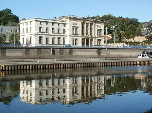 Saarland Region, Germany49 km SW
-
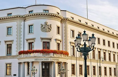 Hesse Region, Germany145 km NE
-
Regierungsbezirk Darmstadt District, Hesse97 km NE
-
Karlsruhe Region District, Baden-Wurttemberg113 km SE
-
Cologne District District, North Rhine-Westphalia132 km N
-
Regierungsbezirk Gießen District, Hesse146 km NE
Sources & licences
Data last updated: · 2 independent sources