Landkreis Bad Kreuznach
Located in Rhineland-Palatinate, Germany Coordinates: 49°49′26″ N 7°41′54″ E
- Population
- 164,748
- 164.7K
- Elevation
- 265 m
- above sea level
- Local time
- UTC+01:00
- Europe/Berlin · UTC+01:00
- Places inside
- 118
- listed under Landkreis Bad Kreuznach
- Airports
- HHN Frankfurt-Hahn Airport34 km
- FRA Frankfurt Main Airport66 km
About Landkreis Bad Kreuznach
Landkreis Bad Kreuznach is a municipality. Location: Rhineland-Palatinate, Germany. Population: 164,748. Elevation: 265 m. The best months to visit are June–August. The nearest airport is Frankfurt-Hahn Airport (34 km). Nearby sights include Grundbach and Glan.
Photos of Landkreis Bad Kreuznach
-
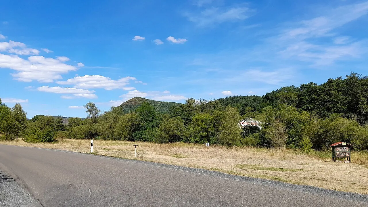
Gauskopf Hejnjahns · CC BY-SA 4.0 -
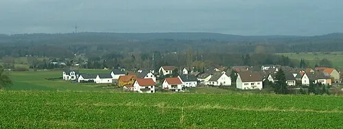
Ellerspring Markus Braun · Public domain -
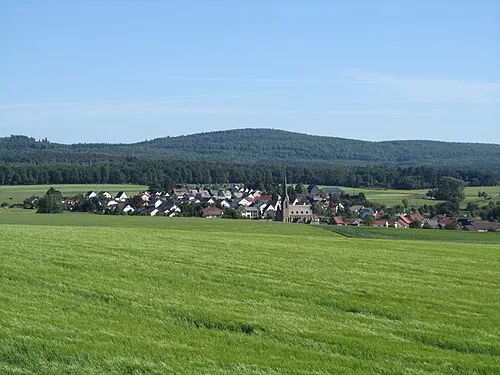
Alteburg Jörg Braukmann · CC BY-SA 3.0 -
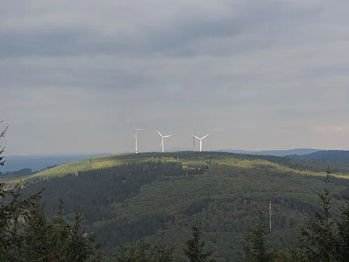
Kandrich Hasehirn · CC BY 3.0 -
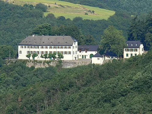
Schloss Wartenstein Vg kirn-land,gierend , Fotoarchiv VG Kirn-Land · CC BY-SA 3.0


Climate of Landkreis Bad Kreuznach
Best months for sightseeingBest months for sightseeing: June–August.
This month · November
A cold month
Day 7° · Night 2° · Rain 49 mm
- Hottest month
- August (day 23°)
- Coldest month
- January (night -2°)
- Wettest month
- July (60 mm)
- Driest month
- February (39 mm)
Bars: average monthly low and high temperature. Below: precipitation. Monthly averages for 1970–2000 at about 18 km resolution, adjusted for elevation. Highlighted months are mild and relatively dry. Source: WorldClim 2.1 (CC BY 4.0).
Show values as a table
| Month | Jan | Feb | Mar | Apr | May | Jun | Jul | Aug | Sep | Oct | Nov | Dec |
|---|---|---|---|---|---|---|---|---|---|---|---|---|
| Average high (°C) | 3° | 5° | 9° | 13° | 18° | 21° | 23° | 23° | 19° | 13° | 7° | 4° |
| Average low (°C) | -2° | -2° | 1° | 3° | 8° | 11° | 13° | 12° | 9° | 5° | 2° | 0° |
| Precipitation (mm) | 40 | 39 | 40 | 39 | 57 | 57 | 60 | 49 | 48 | 52 | 49 | 52 |
How to get to Landkreis Bad Kreuznach
The nearest airport is Frankfurt-Hahn Airport (HHN), 34 km to the northwest as the crow flies. The nearest large city is Mainz, 45 km to the northeast.
Airports
- Frankfurt-Hahn Airport (HHN) Frankfurt am Main (Lautzenhausen) 34 kmnorthwest
- Frankfurt Main Airport (FRA) Frankfurt am Main 66 kmeast
- Mannheim-City Airport (MHG) Mannheim 71 kmsoutheast
Nearby large cities
- Mainz Population: 222.9K 45 kmnortheast
- Wiesbaden Population: 288.8K 49 kmnortheast
- Koblenz Population: 107.3K 60 kmnorth
- Ludwigshafen am Rhein Population: 163.2K 66 kmsoutheast
- Mannheim Population: 308K 67 kmsoutheast
Straight-line distances; road distances are longer. Airport data: OurAirports.
Day trips from Landkreis Bad Kreuznach
Within 100 km: 904 historic and cultural sites, 4,072 natural sites, 861 lakes, rivers and coasts.
0–25 km312 places
- Rüdesheimer Aue Island 24 kmNE
- Zuckerberg Mountain 14 kmE
- Zimmerberg Mountain 16 kmNE
- Ziegelsberg Mountain 16 kmSW
25–60 km1,660 places
- Modau River 55 kmE
- Petersaue Island 46 kmNE
- Mariannenaue Island 35 kmNE
- Königsklinger Aue Island 38 kmNE
60–100 km3,865 places
- Sauer River 86 kmW
- Elsenz River 93 kmSE
- Aar River 65 kmN
- Urbach River 78 kmN
Straight-line distances.
Landkreis Bad Kreuznach and similar cities
Side by side with cities of similar size in the same country: population, elevation and climate.
| Measure | Landkreis Bad Kreuznach | Solingen | Ludwigshafen am Rhein | Osnabrück |
|---|---|---|---|---|
| Population | 164.7K | 164.4K | 163.2K | 166.5K |
| Elevation | 265 m | 229 m | 97 m | 65 m |
| Summer day (hottest month) | 23° | 22° | 25° | 22° |
| Winter night (coldest month) | -2° | -1° | -1° | 0° |
| Annual rainfall | 582 mm | 1,087 mm | 669 mm | 855 mm |
| Best months | Jun–Aug | Jun–Aug | May–Sep | Jun–Aug |
| Distance | — | 156 km | 66 km | 274 km |
Climate values are 1970–2000 monthly averages; straight-line distance.
Places in Landkreis Bad Kreuznach
118 places- 1 Bad Kreuznach 54.2K
- 2 Kirn 8.6K
- 3 Bad Sobernheim 6.6K
- 4 Langenlonsheim 4.4K
- 5 Stromberg 3.5K
- 6 Hargesheim 2.9K
- 7 Meisenheim 2.9K
- 8 Roxheim 2.8K
- 9 Bretzenheim 2.8K
- 10 Rüdesheim 2.7K
- 11 Guldental 2.5K
- 12 Waldböckelheim 2.2K
- 13 Hackenheim 2.2K
- 14 Simmertal 1.9K
- 15 Windesheim 1.8K
- 16 Weinsheim 1.8K
- 17 Odernheim am Glan 1.7K
- 18 Fürfeld 1.7K
- 19 Hochstetten-Dhaun 1.7K
- 20 Wallhausen 1.6K
- 21 Norheim 1.6K
- 22 Monzingen 1.6K
- 23 Feilbingert 1.5K
- 24 Pfaffen-Schwabenheim 1.5K
- 25 Rümmelsheim 1.5K
- 26 Staudernheim 1.5K
- 27 Merxheim 1.4K
- 28 Seibersbach 1.3K
- 29 Meddersheim 1.3K
- 30 Hüffelsheim 1.3K
- 31 Spabrücken 1.2K
- 32 Hennweiler 1.2K
- 33 Bockenau 1.2K
- 34 Volxheim 1.1K
- 35 Frei-Laubersheim 1K
- 36 Gutenberg 1K
- 37 Neu-Bamberg 962
- 38 Mandel 927
- 39 Oberhausen bei Kirn 908
- 40 Schweppenhausen 901
- 41 Waldlaubersheim 884
- 42 Becherbach 844
- 43 Laubenheim 833
- 44 Altenbamberg 829
- 45 Hallgarten 827
- 46 Sponheim 762
- 47 Daxweiler 743
- 48 Dorsheim 737
- 49 Biebelsheim 730
- 50 Dörrebach 724
- 51 Rehborn 687
- 52 Hochstätten 656
- 53 Braunweiler 628
- 54 Traisen 621
- 55 Schöneberg 616
- 56 Niederhausen 580
- 57 Warmsroth 540
- 58 Duchroth 537
- 59 Lauschied 535
- 60 Hahnenbach 533
Bar: population relative to the most populous place in this list.
Nearby attractions & nature
Everything nearby-
Grundbach River, Rhineland-Palatinate5.1 km S
-
Glan River, Rhineland-Palatinate5.5 km S
-
Hagenbach River, Rhineland-Palatinate6 km SE
-
Häuser Bach River, Rhineland-Palatinate6.5 km S
-
Hottenbach River, Rhineland-Palatinate6.8 km SW
-
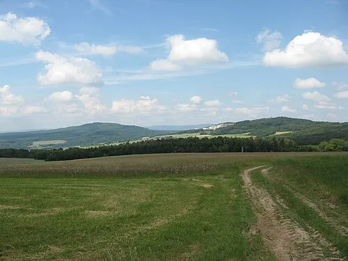 Soonwald Mountain, Rhineland-Palatinate14 km NW
-
Bauwald Natural site, Rhineland-Palatinate8.7 km SE
-
Duchrother Wald Natural site, Rhineland-Palatinate9 km SE
Sources & licences
Data last updated: