Soonwald
Located in Rhineland-Palatinate, Germany Coordinates: 49°55′23″ N 7°34′42″ E
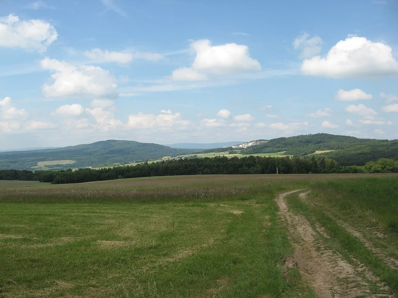
- Elevation
- 636 m
- above sea level
- Local time
- UTC+01:00
- Europe/Berlin · UTC+01:00
About Soonwald
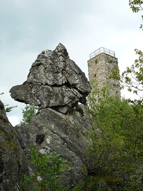
Soonwald is a mountain. Location: Rhineland-Palatinate, Germany. Elevation: 636 m.
The Soonwald (German pronunciation: [ˈzoːnʋalt]) is a forested, low mountain region, up to 657.5 m above sea level (NN), which forms part of the Hunsrück mountains in the German Central Uplands. It lies within the counties of Rhein-Hunsrück-Kreis and Bad Kreuznach in the state of Rhineland-Palatinate.
Read more on Wikipedia Text: Wikipedia contributors · CC BY-SA 4.0 · shortened
In comparison
- No. 4428 of 25787 mountains in Germany by elevation
- 33 sights and natural places within 10 km Märkerwald, Ruine Wildburg
Nearest towns and villages
-
Tiefenbach Village, Rhein-Hunsrück-Kreis2.7 km NW
-
Tiefenbach Village, Tiefenbach3 km NW
-
Winterbach Village, Landkreis Bad Kreuznach4.1 km SE
-
Holzbach Village, Rhein-Hunsrück-Kreis4.4 km NW
-
Sargenroth Village, Rhein-Hunsrück-Kreis4.6 km W
-
Argenthal Village, Rhein-Hunsrück-Kreis5.1 km N
Nearby attractions & nature
Everything nearby-
Märkerwald Natural site, Rhineland-Palatinate1.4 km NE
-
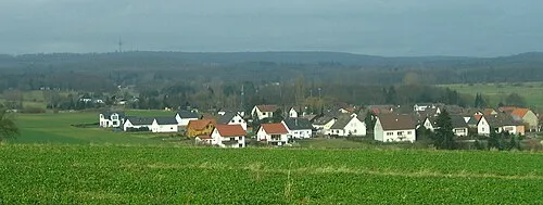 Ellerspring Mountain, Winterbach2.7 km SE
-
Simmernkopf Mountain, Riesweiler2.2 km NE
-
Wildburghöhe Mountain, Sargenroth2.1 km SW
-
Ginster Kopf Mountain, Argenthal3.1 km NE
-
Hölzerkopf Mountain, Spall4 km E
-
Karchrech Mountain, Bad Sobernheim4.3 km SE
-
Odstein Mountain, Winterbach4.3 km SE
More nature in Germany
-
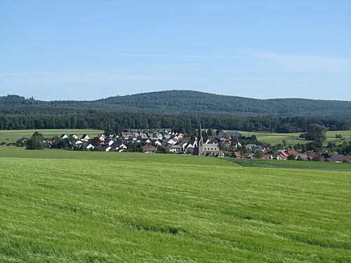 Alteburg Mountain, Bad Sobernheim5.3 km SW
-
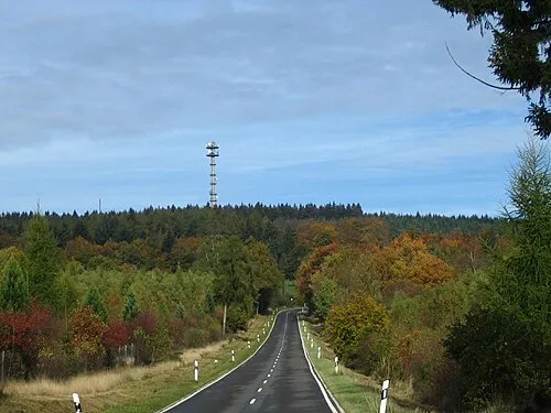 Schanzerkopf Mountain, Argenthal5.9 km NE
-
Ochsenbaumer Höhe Mountain, Argenthal4.5 km NE
-
Ochsenbaumer Mountain, Argenthal4.5 km NE
-
Opel Mountain, Argenthal6.2 km E
-
 Koppensteiner Höhe Mountain, Henau8.2 km SW
Sources & licences
Data last updated: · 2 independent sources