Schmalkaldener Stadtwald
Situé dans Thuringe, Allemagne Coordonnées: 50°46′00″ N 10°32′00″ E
Le nom de ce lieu n'a pas encore été vérifié dans cette langue ; il est affiché sous sa forme d'origine.
- Altitude
- 603 m
- au-dessus du niveau de la mer
- Heure locale
- UTC+01:00
- Europe/Berlin · UTC+01:00
À propos : Schmalkaldener Stadtwald
Schmalkaldener Stadtwald est un site naturel. Situation : Thuringe, Allemagne.
En comparaison
- 108 sites et lieux naturels à moins de 10 km Mönchstein, Vorderer Höhenberg
Villes et villages les plus proches
-
Kleinschmalkalden Village, Floh-Seligenthal5,3 km NO
-
Struth-Helmershof Village, Floh-Seligenthal3 km SO
-
Trusetal Village, Brotterode-Trusetal8,4 km O
-
Oberschönau Village, Steinbach-Hallenberg, Kurort8,1 km SE
-
Finsterbergen Village, Friedrichroda8,5 km NE
Sites et nature à proximité
Tout ce qui est proche-
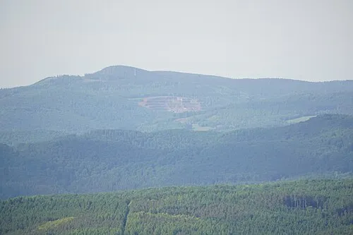 Mönchstein Montagne, Floh-Seligenthal1,3 km O
-
Vorderer Höhenberg Montagne, Floh-Seligenthal1,4 km NO
-
Röders-Berg Montagne, Floh-Seligenthal1,7 km S
-
Mittlerer Höhenberg Montagne, Floh-Seligenthal1,8 km N
-
Glas-Berg Montagne, Floh-Seligenthal2,2 km NE
-
Salz-Kopf Montagne, Floh-Seligenthal2,2 km SE
-
Nessel-Berg Montagne, Floh-Seligenthal2,4 km E
-
Hinterer Höhenberg Montagne, Floh-Seligenthal2,6 km N
Sources et licences
Données mises à jour le: