Thuringe
Nom local: Freistaat Thüringen
Situé dans Allemagne Coordonnées: 50°55′00″ N 11°00′00″ E
- Population
- 2 120 237
- 2,1 M
- Altitude
- 266 m
- au-dessus du niveau de la mer
- Heure locale
- UTC+01:00
- Europe/Berlin · UTC+01:00
- Lieux rattachés
- 726
- classés sous Thuringe
À propos : Thuringe
Thuringe est une région. Situation : Allemagne. Population : 2 120 237.
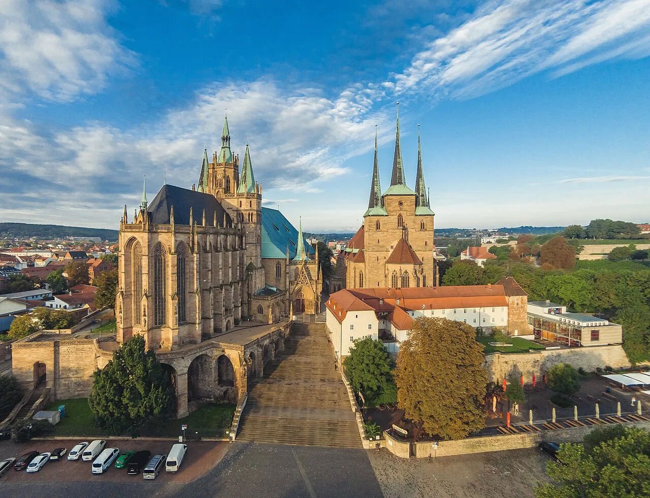
La Thuringe (/ty.ʁɛ̃ʒ/ ; en allemand : Thüringen ), officiellement l’État libre de Thuringe (en allemand : Freistaat Thüringen), est un Land de la République fédérale d'Allemagne. État fédéré situé au centre du pays, il est le douzième en nombre d'habitants et le onzième en superficie. Sa capitale est Erfurt et son ministre-président Mario Voigt.
Lire la suite sur Wikipédia Texte : contributeurs de Wikipédia · CC BY-SA 4.0 · abrégé
En bref
- Construction
- 1920
- Superficie
- 16 171 km²
Source : Wikidata
En comparaison
- 43 sites et lieux naturels à moins de 10 km Mittelberg, Apfelstädt
- Recensés ici : Site naturel: 312, Cours d’eau: 308, Lac: 37, Montagne: 25
Lieux : Thuringe
726 lieux-
Hasel Cours d’eau
-
Haselbach Cours d’eau
-
Häsel-Bach Cours d’eau
-
Häselriether Forst Site naturel
-
Haßfurt Site naturel
-
Hausholz Site naturel
-
Hautsee Lac
-
Haynroder Wald Site naturel
-
Hebetal Site naturel
-
Heidental Site naturel
-
Heiligenstädter Stadtwald Site naturel
-
Helbe Cours d’eau
-
Helbetal Site naturel
-
Hellbach Cours d’eau
-
Hellerbach Cours d’eau
-
Heringer Wald Site naturel
-
Hermannstal Site naturel
-
Herpf Cours d’eau
-
Herrenberg Montagne
-
Herressener Bach Cours d’eau
-
Herzbach Cours d’eau
-
Heubach Cours d’eau
-
Heuental Site naturel
-
Hexengrund Site naturel
-
Hildburghauser Stadtwald Site naturel
-
Himbach Cours d’eau
-
Hinter Hainaer Holz Site naturel
-
Hirschbach Cours d’eau
-
Hirschgrund Site naturel
-
Hirschgrund Site naturel
-
Hirschsprung Site naturel
-
Hispelbach Cours d’eau
-
Hohenlohesche Forst Oppurg Site naturel
-
Hohenstein-Adelsborner Wald Site naturel
-
Hohmischer Bach Cours d’eau
-
Hohnsteinsche Forst Site naturel
-
Hölle Cours d’eau
-
Holzthalebener Wald Site naturel
-
Hopbach Cours d’eau
-
Hörsel Cours d’eau
-
Humbach Cours d’eau
-
Hüpstedter Wald Site naturel
-
Hutschbach Cours d’eau
-
Hüttener Grund Site naturel
-
Igelshieb Site naturel
-
Inselswasser Cours d’eau
-
Isar-Tal Site naturel
-
Jenaer Forst Site naturel
-
Jordan Cours d’eau
-
Jüchsen Cours d’eau
-
Jüchsener Wald Site naturel
-
Junkerbach Cours d’eau
-
Kalkgrund Site naturel
-
Kaltes Tal Site naturel
-
Kaltes Wasser Cours d’eau
-
Kämmerawald Site naturel
-
Kämmer-Berg Montagne
-
Kammerforster Holz Site naturel
-
Kathragrub Village
Principales villes
Nature et patrimoine : Thuringe
-
Buchenwald Site historique, Weimar48 k
-
Zipptannskuppe Montagne, Saalfeld/Saale
-
Zellerkopf Montagne, Dermbach
Autres régions : Allemagne
-
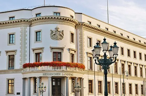 Hesse Région, Allemagne147 km O
-
 Saxe-Anhalt Région, Allemagne131 km NE
-
Basse-Franconie District, Bavière124 km SO
-
Haute-Franconie District, Bavière123 km S
-
District de Kassel District, Hesse114 km O
Sources et licences
Données mises à jour le: · 2 sources indépendantes