Thuringe
Nom local: Freistaat Thüringen
Situé dans Allemagne Coordonnées: 50°55′00″ N 11°00′00″ E
- Population
- 2 120 237
- 2,1 M
- Altitude
- 266 m
- au-dessus du niveau de la mer
- Heure locale
- UTC+01:00
- Europe/Berlin · UTC+01:00
- Lieux rattachés
- 726
- classés sous Thuringe
À propos : Thuringe
Thuringe est une région. Situation : Allemagne. Population : 2 120 237.
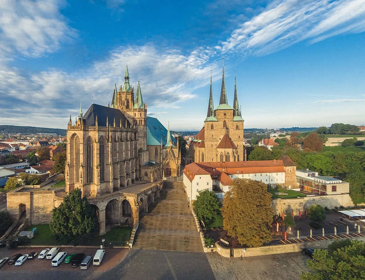
La Thuringe (/ty.ʁɛ̃ʒ/ ; en allemand : Thüringen ), officiellement l’État libre de Thuringe (en allemand : Freistaat Thüringen), est un Land de la République fédérale d'Allemagne. État fédéré situé au centre du pays, il est le douzième en nombre d'habitants et le onzième en superficie. Sa capitale est Erfurt et son ministre-président Mario Voigt.
Lire la suite sur Wikipédia Texte : contributeurs de Wikipédia · CC BY-SA 4.0 · abrégé
En bref
- Construction
- 1920
- Superficie
- 16 171 km²
Source : Wikidata
En comparaison
- 43 sites et lieux naturels à moins de 10 km Mittelberg, Apfelstädt
- Recensés ici : Site naturel: 312, Cours d’eau: 308, Lac: 37, Montagne: 25
Lieux : Thuringe
726 lieux-
Katz Cours d’eau
-
Katze Cours d’eau
-
Kemlasbach Cours d’eau
-
Kerngrund Site naturel
-
Keulaer Wald Site naturel
-
Kleine Hardt Site naturel
-
Kleiner Leinakanal Cours d’eau
-
Kleiner Otterbach Cours d’eau
-
Kleiner Schambach Cours d’eau
-
Kleiner Sorbitz Cours d’eau
-
Kleine Wipper Cours d’eau
-
Kleinschmalkaldener Wald Site naturel
-
Klinge Cours d’eau
-
Klosterforst Ilfeld Site naturel
-
Klosterholz Site naturel
-
Klosterwald Site naturel
-
Kohlbach Cours d’eau
-
Kohlbach Village
-
Kohlungsteich Lac
-
Königseer Stadtwald Site naturel
-
Konreuth Site naturel
-
Körtal Site naturel
-
Köselbach Cours d’eau
-
Köthenwald Site naturel
-
Kotschaubach Cours d’eau
-
Krajaer Bach Cours d’eau
-
Krebsbach Cours d’eau
-
Krebsbach Cours d’eau
-
Krummbach Cours d’eau
-
Krünitzbach Cours d’eau
-
Kühmstedter Bach Cours d’eau
-
Kutte Lac
-
Kyffhäuser Gebirge Montagne
-
Lache Cours d’eau
-
Landers Grund Site naturel
-
Landerswasser Cours d’eau
-
Landwehr Cours d’eau
-
Langenbach TP Montagne
-
Langensalzaer Stadtwald Site naturel
-
Langer Grund Site naturel
-
Langer Grund Site naturel
-
Langer Grund Site naturel
-
Langer Grund Site naturel
-
Langes Tal Site naturel
-
Langes Tal Site naturel
-
Langes-Tal Site naturel
-
Langulaer Holz Site naturel
-
Langwassergrund Site naturel
-
Laucha Cours d’eau
-
Lauter Cours d’eau
-
Lauter Cours d’eau
-
Lauter Cours d’eau
-
Lehestenbach Cours d’eau
-
Lehmgrund Site naturel
-
Leimbach Cours d’eau
-
Leimelbach Cours d’eau
-
Leina Cours d’eau
-
Lemnitz Cours d’eau
-
Leuba Cours d’eau
Principales villes
Nature et patrimoine : Thuringe
-
Buchenwald Site historique, Weimar48 k
-
Zipptannskuppe Montagne, Saalfeld/Saale
-
Zellerkopf Montagne, Dermbach
Autres régions : Allemagne
-
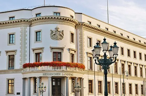 Hesse Région, Allemagne147 km O
-
 Saxe-Anhalt Région, Allemagne131 km NE
-
Basse-Franconie District, Bavière124 km SO
-
Haute-Franconie District, Bavière123 km S
-
District de Kassel District, Hesse114 km O
Sources et licences
Données mises à jour le: · 2 sources indépendantes