Galtür
Situé dans Landeck, Tyrol Coordonnées: 46°55′20″ N 10°10′48″ E
Le nom de ce lieu n'a pas encore été vérifié dans cette langue ; il est affiché sous sa forme d'origine.
- Population
- 771
- 771
- Altitude
- 1 942 m
- au-dessus du niveau de la mer
- Heure locale
- UTC+01:00
- Europe/Vienna · UTC+01:00
- Lieux rattachés
- 44
- classés sous Galtür
À propos : Galtür
Galtür est une commune. Situation : Landeck, Tyrol. Population : 771. Altitude : 1 942 m.
En comparaison
- Landeck : n° 20 sur 30 lieux par population
- Localité plus grande la plus proche : Gaschurn, à 9 km (O)
- 155 sites et lieux naturels à moins de 10 km Sedelspitze, Schnapfenlochspitze
- Recensés ici : Montagne: 38, Village: 4, Lac: 1, Site naturel: 1
Lieux : Galtür
44 lieux-
Galtür Village765
-
Alpkogel Montagne
-
Augstenköpfe Montagne
-
Ballunspitze Montagne
-
Bidnerspitze Montagne
-
Birkhahnkopf Montagne
-
Finsterkarspitze Montagne
-
Gaisspitze Montagne
-
Gemsspitz Montagne
-
Gorfenspitze Montagne
-
Grieskopf Montagne
-
Heidelberger Spitze Montagne
-
Hennebergspitzen Montagne
-
Hennekopf Montagne
-
Hennespitze Montagne
-
Hinterer Satzgrat Montagne
-
Hochnörderer Montagne
-
Hoher Kogel Montagne
-
Hohes Rad Montagne
-
Jamtal Ferner Site naturel
-
Langgrabenspitze Montagne
-
Madlenerspitze Montagne
-
Muttelberg Montagne
-
Nördererspitze Montagne
-
Pfannknecht Montagne
-
Predigberg Montagne
-
Radsee Lac
-
Rote Wand Montagne
-
Russkopf Montagne
-
Schnapfenlochspitze Montagne
-
Schnapfenspitze Montagne
-
Schönfurgge Spitze Montagne
-
Sedelspitze Montagne
-
Signalspitz Montagne
-
Thomasberg Montagne
-
Totenfeldkopf Montagne
-
Tschafein Village
-
Velzur Village
-
Vordere Getschner Spitze Montagne
-
Vorderer Satzgrat Montagne
-
Westliches Gamshorn Montagne
-
Wirl Village
-
Zahnspitze Montagne
-
Zahnturm Montagne
Sites et nature à proximité
Tout ce qui est proche-
Bodmerspitze Montagne, Vorarlberg2,4 km O
-
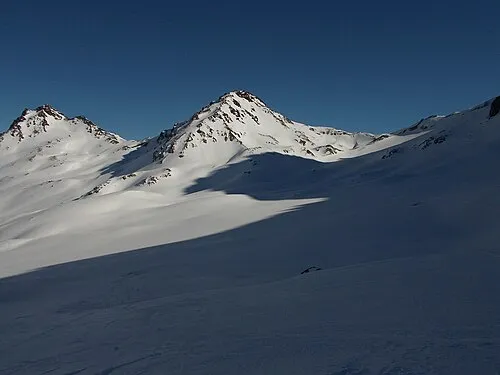 Piz Larain Montagne, Tyrol4,5 km SE
-
Kleinvermunt Site naturel, Tyrol4,7 km NO
-
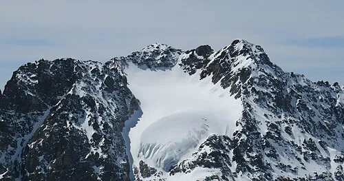 Augstenberg Montagne, Scuol6,7 km S
-
Dreiköpfel Montagne, Ischgl6,2 km NE
-
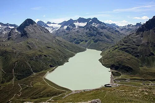 Ochsental Site naturel, Vorarlberg7,5 km SO
Sources et licences
Données mises à jour le: