Fylde District
Situé dans Lancashire, Angleterre Coordonnées: 53°47′35″ N 2°55′35″ O
Le nom de ce lieu n'a pas encore été vérifié dans cette langue ; il est affiché sous sa forme d'origine.
- Population
- 77 990
- 78 k
- Altitude
- 34 m
- au-dessus du niveau de la mer
- Heure locale
- UTC+00:00
- Europe/London · UTC+00:00
- Lieux rattachés
- 22
- classés sous Fylde District
À propos : Fylde District
Fylde District est une commune. Situation : Lancashire, Angleterre. Population : 77 990. Altitude : 34 m.
En comparaison
- Lancashire : n° 10 sur 12 lieux par population
- Localité plus grande la plus proche : Blackpool, à 9 km (O)
- 34 sites et lieux naturels à moins de 10 km St Anne Roman Catholic Church, Westby, St Joseph Roman Catholic Church, Wesham
- Recensés ici : Village: 16, Quartier: 3, Attraction touristique: 2, Petite ville: 1
Lieux : Fylde District
22 lieux-
Lytham St Annes Petite ville42,7 k
-
Ansdell Quartier
-
Bryning-with-Warton Village
-
Elswick Village
-
Fairhaven Quartier
-
Freckleton Village
-
Greenhalgh-with-Thistleton Village
-
Kirkham Village
-
Little Eccleston-with-Larbreck Village
-
Lytham Village
-
Medlar-with-Wesham Village
-
Newton-with-Clifton Village
-
Ribby-with-Wrea Village
-
Saint Anne's on the Sea Village
-
Saltcotes Quartier
-
Singleton Village
-
Staining Village
-
St Joseph Roman Catholic Church Attraction touristique
-
St Peter Roman Catholic Church Attraction touristique
-
Treales, Roseacre and Wharles Village
-
Weeton-with-Preese Village
-
Westby-with-Plumptons Village
Sites et nature à proximité
Tout ce qui est proche-
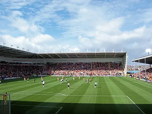 Bloomfield Road Monument, Blackpool8,1 km O
-
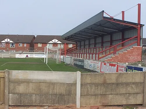 Highbury Stadium (Fleetwood) Monument, Fleetwood15 km NO
Autres villes : Lancashire
-
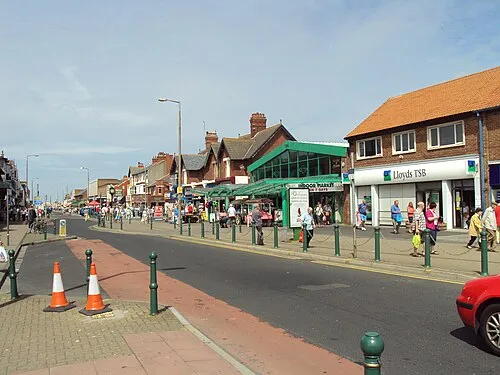 Cleveleys Petite ville, Wyre District12 km NO
-
Thornton-Cleveleys Petite ville, Wyre District11 km NO
-
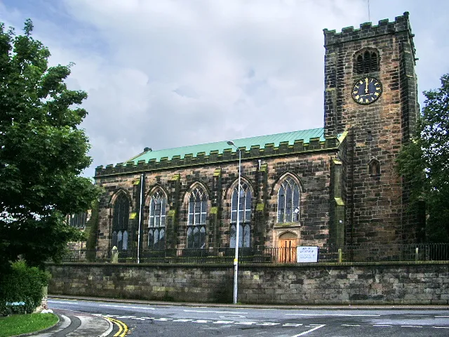 Leyland Petite ville, South Ribble19 km SE
-
Preston Ville, Preston District15 km E
-
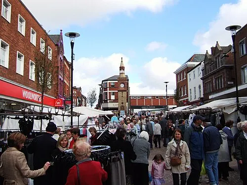 Ormskirk Petite ville, West Lancashire District25 km S
Sources et licences
Données mises à jour le: