Fylde District
Located in Lancashire, England Coordinates: 53°47′35″ N 2°55′35″ W
- Population
- 77,990
- 78K
- Elevation
- 34 m
- above sea level
- Local time
- UTC+00:00
- Europe/London · UTC+00:00
- Places inside
- 22
- listed under Fylde District
About Fylde District
Fylde District is a municipality. Location: Lancashire, England. Population: 77,990. Elevation: 34 m.
In comparison
- No. 10 of 12 places in Lancashire by population
- Nearest larger town: Blackpool, 9 km W
- 34 sights and natural places within 10 km St Anne Roman Catholic Church, Westby, St Joseph Roman Catholic Church, Wesham
- Listed here: Village: 16, Neighbourhood: 3, Attraction: 2, Town: 1
Places in Fylde District
22 places-
Lytham St Annes Town42.7K
-
Ansdell Neighbourhood
-
Bryning-with-Warton Village
-
Elswick Village
-
Fairhaven Neighbourhood
-
Freckleton Village
-
Greenhalgh-with-Thistleton Village
-
Kirkham Village
-
Little Eccleston-with-Larbreck Village
-
Lytham Village
-
Medlar-with-Wesham Village
-
Newton-with-Clifton Village
-
Ribby-with-Wrea Village
-
Saint Anne's on the Sea Village
-
Saltcotes Neighbourhood
-
Singleton Village
-
Staining Village
-
St Joseph Roman Catholic Church Attraction
-
St Peter Roman Catholic Church Attraction
-
Treales, Roseacre and Wharles Village
-
Weeton-with-Preese Village
-
Westby-with-Plumptons Village
Nearby attractions & nature
Everything nearby-
St Monica Roman Catholic Church Attraction, Blackpool4.5 km W
-
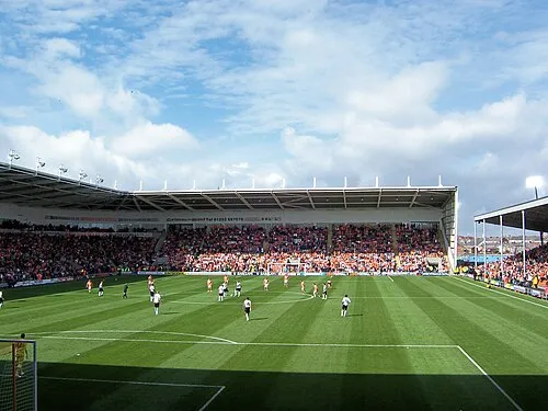 Bloomfield Road Landmark, Blackpool8.1 km W
-
Our Lady of the Assumption Roman Catholic Church Attraction, Blackpool6.4 km W
-
The English Martyrs Roman Catholic Church Attraction, Wyre District6.2 km NW
-
St John Vianney Roman Catholic Church Attraction, Blackpool7 km W
-
Christ the King Roman Catholic Church Attraction, Blackpool7.6 km NW
-
RNAS Inskip, Mast 2 Landmark, Inskip-with-Sowerby7.1 km NE
-
St Kentigern Roman Catholic Church Attraction, Blackpool7.7 km W
Other cities and towns in Lancashire
-
Wyre District Municipality, Lancashire14 km N
-
Preston District Municipality, Lancashire15 km E
-
South Ribble Municipality, Lancashire15 km SE
-
Fylde Town, Greenhalgh-with-Thistleton4.5 km N
-
Kirkham Town, Kirkham3.8 km E
-
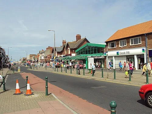 Cleveleys Town, Wyre District12 km NW
Sources & licences
Data last updated: