Bloomfield Road
Located in Blackpool, England Coordinates: 53°48′17″ N 3°02′53″ W
- Local time
- UTC+00:00
- Europe/London · UTC+00:00
- Elevation
- 10 m
- above sea level
About Bloomfield Road
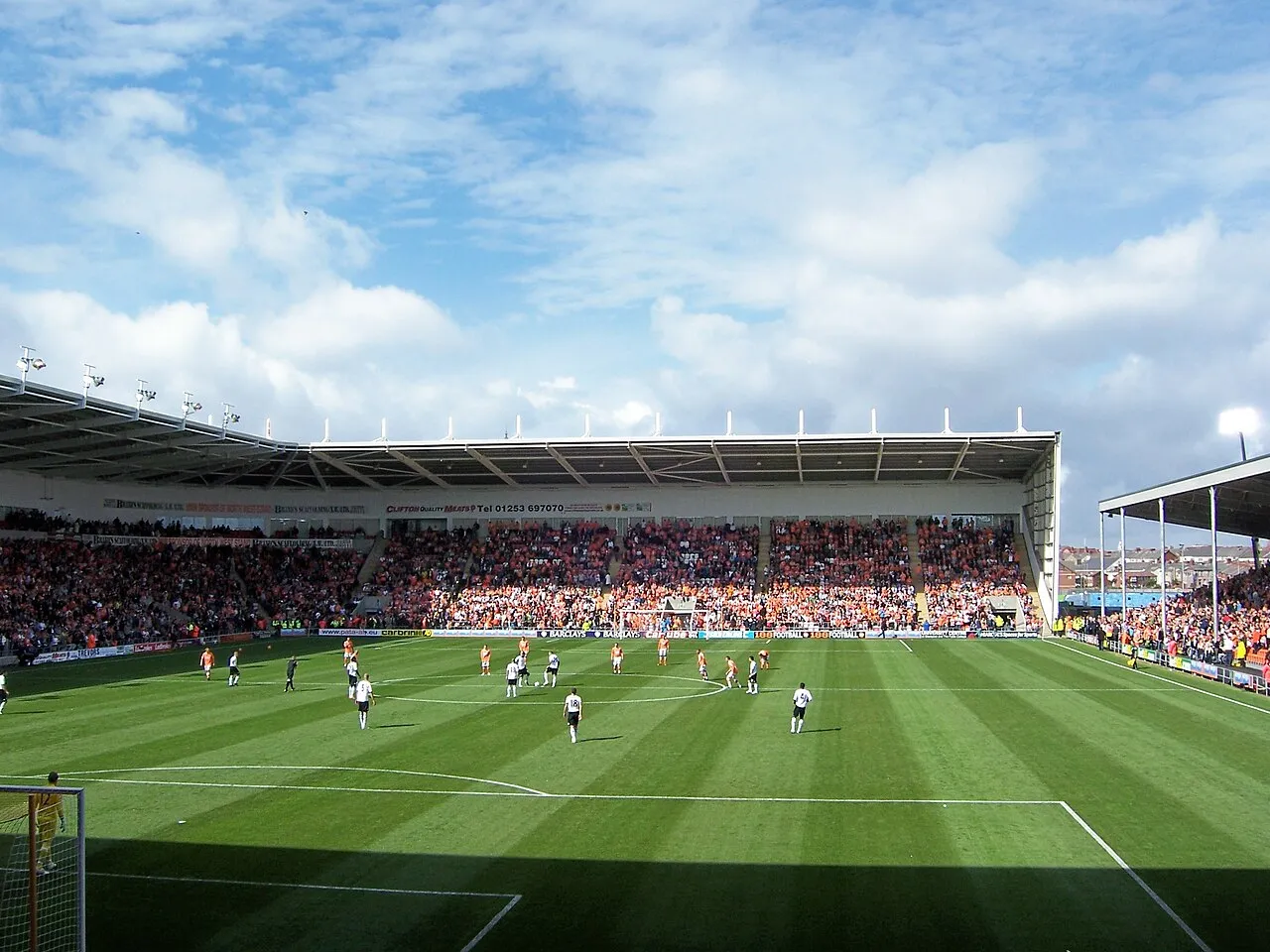
Bloomfield Road is a landmark. Location: Blackpool, England.
Bloomfield Road is a football stadium in Blackpool, Lancashire, England, which has been the home of Blackpool Football Club since 1901. It is the third stadium since the club's founding, the previous two being Raikes Hall Gardens and the Athletic Grounds. Largely unchanged since the 1960s, the stadium began a redevelopment phase in the early 2000s. A temporary East Stand was erected before the start of the 2010–11 season, the club's debut in the Premier League. It is still in place today.
Read more on Wikipedia Text: Wikipedia contributors · CC BY-SA 4.0 · shortened
At a glance
- Opened
- 1899
Source: Wikidata
In comparison
- 23 sights and natural places within 10 km St Cuthbert Roman Catholic Church, St John Vianney Roman Catholic Church
Nearby attractions & nature
Everything nearby-
St Cuthbert Roman Catholic Church Attraction, Blackpool0.4 km SW
-
St John Vianney Roman Catholic Church Attraction, Blackpool1.2 km E
-
Sacred Heart Roman Catholic Church Attraction, Blackpool1.7 km N
-
St Kentigern Roman Catholic Church Attraction, Blackpool1.8 km NE
-
Our Lady of the Assumption Roman Catholic Church Attraction, Blackpool2.8 km SE
-
Holy Family Roman Catholic Church Attraction, Blackpool3.1 km N
-
Christ the King Roman Catholic Church Attraction, Blackpool3.4 km NE
-
St Monica Roman Catholic Church Attraction, Blackpool3.6 km E
Nearest towns and villages
-
Blackpool City, Blackpool1.3 km N
-
Great Marton Village, Blackpool1.9 km NE
-
Revoe Neighbourhood, Blackpool0.5 km NE
-
South Shore Village, Blackpool1.7 km SW
Sources & licences
Data last updated: · 2 independent sources