- Population
- 110,118
- 110.1K
- Elevation
- 28 m
- above sea level
- Local time
- UTC+00:00
- Europe/London · UTC+00:00
- Places inside
- 29
- listed under South Ribble
- Airports
- LPL Liverpool John Lennon Airport43 km
- MAN Manchester Airport51 km
About South Ribble
South Ribble is a municipality. Location: Lancashire, England. Population: 110,118. Elevation: 28 m. The best months to visit are June–August. The nearest airport is Liverpool John Lennon Airport (43 km). Nearby sights include Deepdale and St Wilfrid Roman Catholic Church.
Climate of South Ribble
Best months for sightseeingBest months for sightseeing: June–August.
This month · November
A wet month
Day 10° · Night 4° · Rain 117 mm
- Hottest month
- July (day 19°)
- Coldest month
- February (night 1°)
- Wettest month
- October (117 mm)
- Driest month
- May (60 mm)
Bars: average monthly low and high temperature. Below: precipitation. Monthly averages for 1970–2000 at about 18 km resolution, adjusted for elevation. Highlighted months are mild and relatively dry. Source: WorldClim 2.1 (CC BY 4.0).
Show values as a table
| Month | Jan | Feb | Mar | Apr | May | Jun | Jul | Aug | Sep | Oct | Nov | Dec |
|---|---|---|---|---|---|---|---|---|---|---|---|---|
| Average high (°C) | 7° | 7° | 9° | 12° | 15° | 18° | 19° | 19° | 17° | 13° | 10° | 7° |
| Average low (°C) | 2° | 1° | 3° | 4° | 7° | 10° | 12° | 12° | 10° | 7° | 4° | 2° |
| Precipitation (mm) | 101 | 63 | 83 | 62 | 60 | 71 | 73 | 92 | 98 | 117 | 117 | 112 |
How to get to South Ribble
The nearest airport is Liverpool John Lennon Airport (LPL), 43 km to the south as the crow flies. The nearest large city is Preston, 5 km to the north.
Airports
- Liverpool John Lennon Airport (LPL) Liverpool 43 kmsouth
- Manchester Airport (MAN) Manchester, Greater Manchester 51 kmsoutheast
- Leeds Bradford Airport (LBA) Leeds, West Yorkshire 73 kmeast
Nearby large cities
- Preston Population: 313.3K 5 kmnorth
- Blackburn Population: 146.5K 17 kmeast
- Wigan Population: 175.4K 20 kmsouth
- Blackpool Population: 145K 24 kmnorthwest
- Bolton Population: 141.3K 25 kmsoutheast
Straight-line distances; road distances are longer. Airport data: OurAirports.
Day trips from South Ribble
Within 100 km: 622 historic and cultural sites, 1,879 natural sites, 252 lakes, rivers and coasts.
0–25 km141 places
- Ainsdale Beach Beach 25 kmSW
- St Anne's Beach Beach 20 kmW
- The Island Island 17 kmSE
- Goose Island Island 17 kmS
25–60 km579 places
- Great Britain Island 58 kmNE
- Thurstaston Beach Beach 50 kmSW
- Formby Beach Beach 29 kmSW
- Walney Island Island 56 kmNW
60–100 km2,033 places
- British Isles Island 89 kmW
- High Moor Mountain 62 kmNW
- Roanhead Beach Beach 60 kmNW
- The Island Island 91 kmNE
Straight-line distances.
South Ribble and similar cities
Side by side with cities of similar size in the same country: population, elevation and climate.
| Measure | South Ribble | Sutton Coldfield | Wakefield | Walthamstow |
|---|---|---|---|---|
| Population | 110.1K | 109.9K | 109.8K | 109.4K |
| Elevation | 28 m | 119 m | 50 m | 18 m |
| Summer day (hottest month) | 19° | 21° | 21° | 23° |
| Winter night (coldest month) | 1° | 1° | 1° | 2° |
| Annual rainfall | 1,049 mm | 696 mm | 684 mm | 624 mm |
| Best months | Jun–Aug | Jun–Aug | Jun–Aug | Jun–Aug |
| Distance | — | 142 km | 82 km | 299 km |
Climate values are 1970–2000 monthly averages; straight-line distance.
Places in South Ribble
29 placesBar: population relative to the most populous place in this list.
Cities & villages27
- Bamber Bridge · Village
- Broadfield · Neighbourhood
- Coup Green · Village
- Cuerdale · Village
- Earnshaw Bridge · Neighbourhood
- Farington · Village
- Golden Hill · Neighbourhood
- Gregson Lane · Village
- Higher Walton · Village
- Holland Slack · Neighbourhood
- Hutton · Village
- Little Hoole · Village
- Longton · Village
- Lower House · Neighbourhood
- Midge Hall · Village
- Moss Side · Neighbourhood
- Much Hoole · Village
- Penwortham · Village
- Samlesbury · Village
- School Lane · Neighbourhood
- Seven Stars · Neighbourhood
- Tardy Gate · Neighbourhood
- The Straits · Neighbourhood
- Turpin Green · Neighbourhood
- Wade Hall · Neighbourhood
- Walton le Dale · Village
- Walton Summit · Neighbourhood
Heritage & sights1
- Our Lady and St Patrick Roman Catholic Church · Attraction
Nearby attractions & nature
Everything nearby-
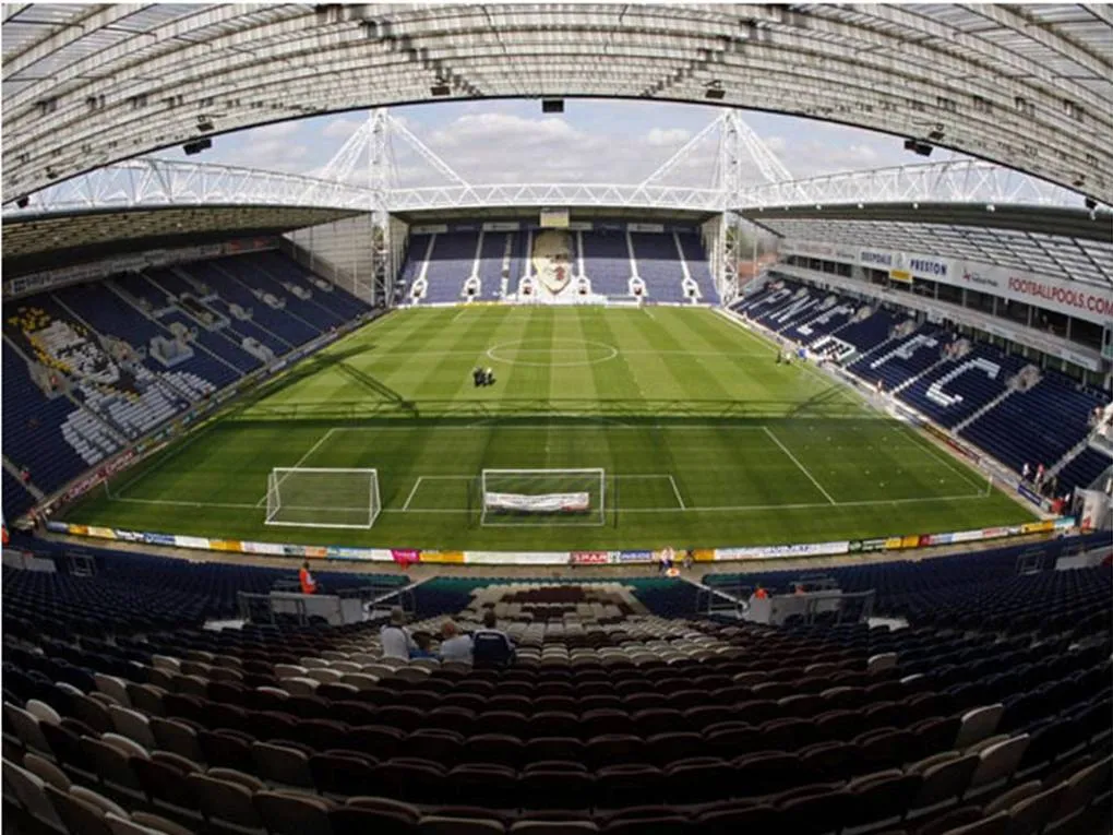 Deepdale Landmark, Preston District6.9 km NE
-
St Wilfrid Roman Catholic Church Attraction, Preston District4.9 km NE
-
St Walburge Roman Catholic Church Attraction, Preston District5.3 km N
-
Tulketh Priory Historic site, Preston District5.5 km N
-
Sacred Heart Roman Catholic Church Attraction, Preston District5.7 km N
-
St Ignatius Roman Catholic Church Attraction, Preston District5.8 km NE
-
River Ribble River, England5.6 km NW
-
St Thomas of Canterbury and the English Martyrs Roman Catholic Church Attraction, Preston District6.2 km N
Other cities and towns in Lancashire
-
Preston District Municipality, Lancashire12 km N
-
West Lancashire District Municipality, Lancashire16 km SW
-
Fylde District Municipality, Lancashire15 km NW
-
Hyndburn District Municipality, Lancashire23 km E
-
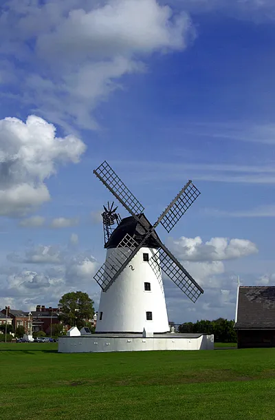 Lytham St Annes Town, Fylde District18 km W
-
Tarleton Town, Tarleton7.6 km SW
Sources & licences
Data last updated: