- Population
- 80,537
- 80.5K
- Elevation
- 128 m
- above sea level
- Local time
- UTC+00:00
- Europe/London · UTC+00:00
- Places inside
- 48
- listed under Hyndburn District
- Airports
- MAN Manchester Airport46 km
- LBA Leeds Bradford Airport49 km
About Hyndburn District
Hyndburn District is a municipality. Location: Lancashire, England. Population: 80,537. Elevation: 128 m. The best months to visit are June–August. The nearest airport is Manchester Airport (46 km). Nearby sights include Great Hameldon and Ewood Park.
Climate of Hyndburn District
Best months for sightseeingBest months for sightseeing: June–August.
This month · November
A wet month
Day 9° · Night 4° · Rain 143 mm
- Hottest month
- July (day 19°)
- Coldest month
- January (night 1°)
- Wettest month
- November (143 mm)
- Driest month
- May (71 mm)
Bars: average monthly low and high temperature. Below: precipitation. Monthly averages for 1970–2000 at about 18 km resolution, adjusted for elevation. Highlighted months are mild and relatively dry. Source: WorldClim 2.1 (CC BY 4.0).
Show values as a table
| Month | Jan | Feb | Mar | Apr | May | Jun | Jul | Aug | Sep | Oct | Nov | Dec |
|---|---|---|---|---|---|---|---|---|---|---|---|---|
| Average high (°C) | 6° | 6° | 9° | 11° | 15° | 17° | 19° | 19° | 16° | 13° | 9° | 7° |
| Average low (°C) | 1° | 1° | 2° | 4° | 7° | 9° | 12° | 11° | 9° | 7° | 4° | 2° |
| Precipitation (mm) | 131 | 83 | 107 | 75 | 71 | 86 | 87 | 109 | 113 | 138 | 143 | 141 |
How to get to Hyndburn District
The nearest airport is Manchester Airport (MAN), 46 km to the south as the crow flies. The nearest large city is Blackburn, 6 km to the west.
Airports
- Manchester Airport (MAN) Manchester, Greater Manchester 46 kmsouth
- Leeds Bradford Airport (LBA) Leeds, West Yorkshire 49 kmeast
- Liverpool John Lennon Airport (LPL) Liverpool 56 kmsouthwest
Nearby large cities
- Blackburn Population: 146.5K 6 kmwest
- Burnley Population: 149.4K 11 kmnortheast
- Bolton Population: 141.3K 20 kmsouth
- Preston Population: 313.3K 21 kmwest
- Wigan Population: 175.4K 29 kmsouthwest
Straight-line distances; road distances are longer. Airport data: OurAirports.
Places in Hyndburn District
48 places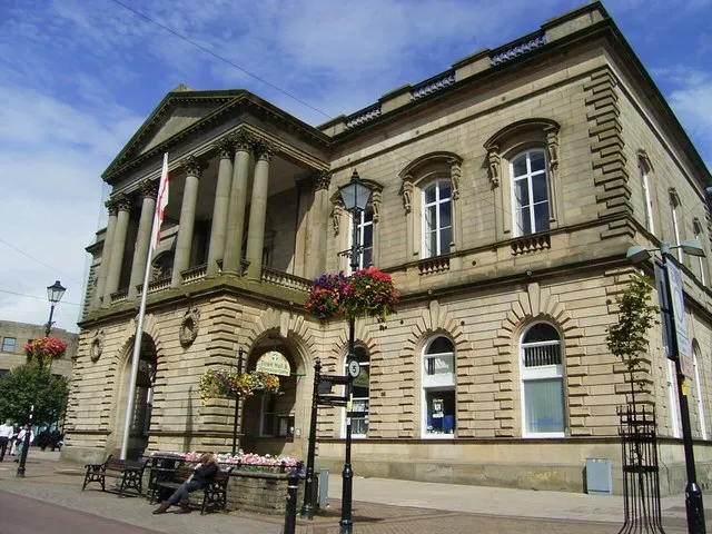
Accrington
Population: 34.9K
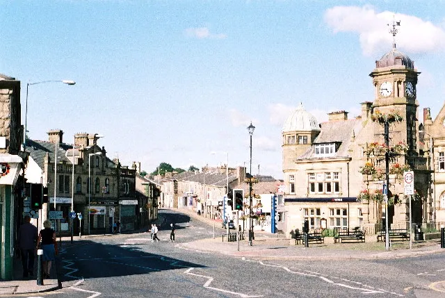
Great Harwood
Population: 11.5K
Clayton le Moors
Population: 8.5K
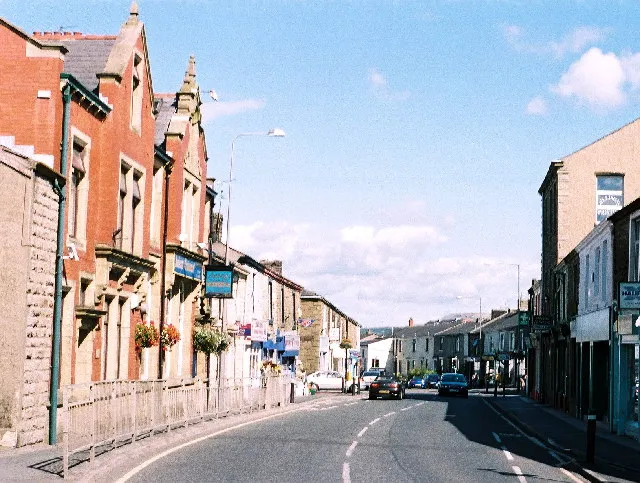
Rishton
Population: 6.6K
Church
Population: 4.1K
Cities & villages40
- Altham · Village
- Barnfield · Neighbourhood
- Baxenden · Village
- Belthorn · Village
- Broadfield · Neighbourhood
- Cliffe · Neighbourhood
- Cote Holme · Neighbourhood
- Dill Hall · Neighbourhood
- Dunnyshop · Neighbourhood
- Edge End · Neighbourhood
- Enfield · Neighbourhood
- Fern Gore · Neighbourhood
- Foxhill Bank · Neighbourhood
- Green Haworth · Village
- Harwood Bar · Neighbourhood
- Higher Baxenden · Neighbourhood
- Hillock Vale · Neighbourhood
- Hoyle Bottom · Village
- Huncoat · Village
- Knuzden Brook · Neighbourhood
- Laneside · Neighbourhood
- Little Moor End · Neighbourhood
- Lower Baxenden · Neighbourhood
- Lower Fold · Neighbourhood
- Lower Fold · Neighbourhood
- Miller Fold · Neighbourhood
- Milnshaw · Neighbourhood
- Norden · Village
- Oakenshaw · Neighbourhood
- Oswaldtwistle · Village
- Peel Bank · Neighbourhood
- Scaitcliffe · Neighbourhood
- Spring Hill · Neighbourhood
- Stanhill · Neighbourhood
- Tottleworth · Village
- Waterloo · Neighbourhood
- Waverledge · Neighbourhood
- West End · Neighbourhood
- Within Grove · Neighbourhood
- Woodnook · Neighbourhood
Mountains & nature2
- Height House Hill · Mountain
- Rushy Hill · Mountain
Nearby attractions & nature
Everything nearby-
Great Hameldon Mountain, Hapton4.9 km E
-
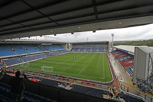 Ewood Park Landmark, Blackburn with Darwen7.6 km SW
-
Hapton Castle Historic site, Hapton4.8 km NE
-
Wilpshire Moor Mountain, Wilpshire5.3 km NW
-
Revidge Mountain, Blackburn with Darwen7 km W
-
Hapton Tower Landmark, Hapton6.3 km E
-
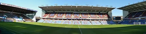 Turf Moor Landmark, Burnley District11 km E
-
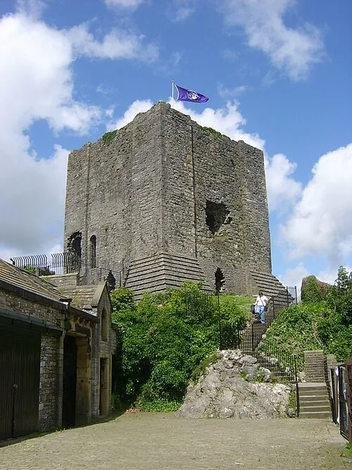 Clitheroe Castle Historic site, Clitheroe12 km N
Other cities and towns in Lancashire
-
Burnley District Municipality, Lancashire11 km E
-
Rossendale District Municipality, Lancashire11 km SE
-
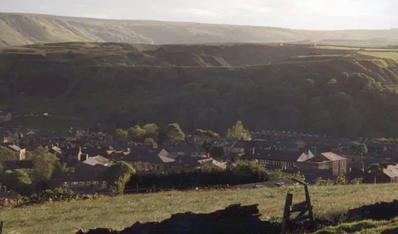 Haslingden Town, Rossendale District7.7 km SE
-
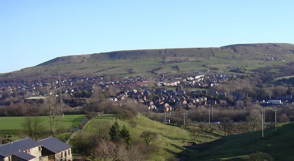 Rawtenstall Town, Rossendale District9.5 km SE
-
Ribble Valley District Municipality, Lancashire16 km N
-
Pendle District Municipality, Lancashire19 km NE
Sources & licences
Data last updated: