Rossendale District
Located in Lancashire, England Coordinates: 53°41′04″ N 2°16′36″ W
- Population
- 69,886
- 69.9K
- Elevation
- 380 m
- above sea level
- Local time
- UTC+00:00
- Europe/London · UTC+00:00
- Places inside
- 86
- listed under Rossendale District
About Rossendale District
Rossendale District is a municipality. Location: Lancashire, England. Population: 69,886. Elevation: 380 m.
In comparison
- No. 11 of 12 places in Lancashire by population
- Nearest larger town: Burnley District, 10 km N
- 30 sights and natural places within 10 km Cowpe Lowe, Rossendale Valley
- Listed here: Neighbourhood: 52, Village: 22, Mountain: 7, Town: 4
Places in Rossendale District
86 places-
Rossendale Town67.4K
-
Rawtenstall Town23K
-
Haslingden Town15.2K
-
Bacup Town13K
-
Edenfield Village2.1K
-
Acre Village
-
Bank Top Village
-
Birtle Hill Mountain
-
Booth Fold Neighbourhood
-
Brandwood Neighbourhood
-
Broad Clough Neighbourhood
-
Bull Hill Mountain
-
Chatterton Village
-
Cloughfold Neighbourhood
-
Constable Lee Neighbourhood
-
Cowpe Village
-
Cowpe Lowe Mountain
-
Crawshaw Booth Village
-
Cribden Hill Mountain
-
Cribden Side Village
-
Cribdon Hill Transmitter Landmark
-
Edgeside Neighbourhood
-
Ewood Bridge Village
-
Flax Moss Neighbourhood
-
Forest Holme Neighbourhood
-
Glen Top Neighbourhood
-
Goodshaw Neighbourhood
-
Goodshaw Chapel Neighbourhood
-
Goodshaw Fold Neighbourhood
-
Greave Neighbourhood
-
Hail Storm Hill Mountain
-
Hall Carr Neighbourhood
-
Hareholme Neighbourhood
-
Helmcroft Neighbourhood
-
Helmshore Village
-
Hey Head Neighbourhood
-
Higher Broad Clough Neighbourhood
-
Higher Change Neighbourhood
-
Higher Constable Neighbourhood
-
Higher Hill Mountain
-
Holden Vale Neighbourhood
-
Hud Hey Village
-
Hugh Mill Neighbourhood
-
Huttock Top Neighbourhood
-
Irwell Vale Village
-
Lane Head Neighbourhood
-
Lane Side Neighbourhood
-
Laund Neighbourhood
-
Longholme Neighbourhood
-
Longshoot Neighbourhood
-
Love Clough Village
-
Lumb Neighbourhood
-
Lumb Village
-
Newchurch Village
-
New Hall Hey Neighbourhood
-
Nun Hills Neighbourhood
-
Oakenhead Wood Neighbourhood
-
Piercy Neighbourhood
-
Rake Foot Neighbourhood
-
Rake Head Neighbourhood
Nearby attractions & nature
Everything nearby-
Rossendale Valley Natural site, England1.8 km N
-
Knowle Hill Mountain, Rochdale4.7 km SE
-
Forest of Rossendale Natural site, England4 km NE
-
Harcles Hill Mountain, Borough of Bury5.7 km SW
-
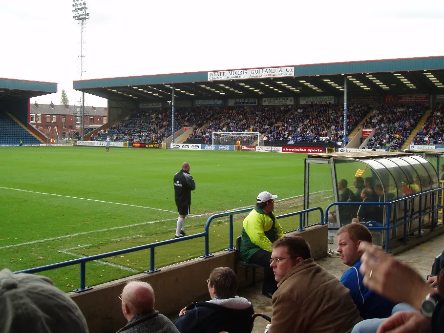 Spotland Stadium Landmark, Rochdale9.5 km SE
-
Scholes Height & Bull Hill Mountain, North Turton6.5 km W
-
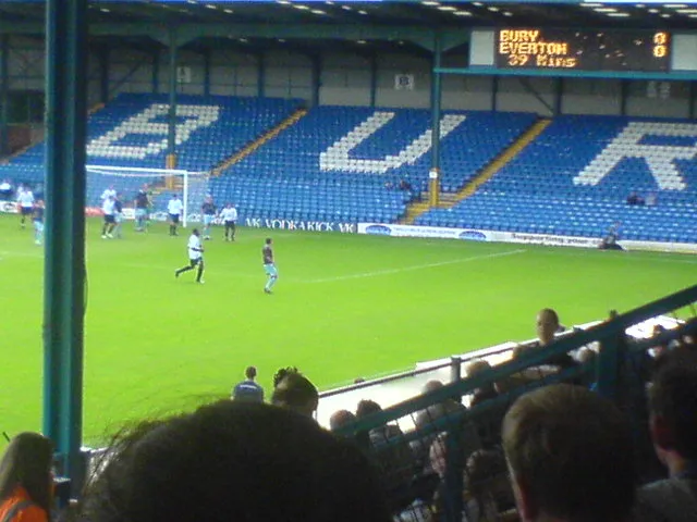 Gigg Lane Landmark, Borough of Bury12 km S
-
Great Hameldon Mountain, Hapton8.4 km N
Other cities and towns in Lancashire
-
Burnley District Municipality, Lancashire10 km N
-
Hyndburn District Municipality, Lancashire11 km NW
-
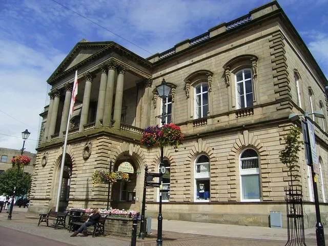 Accrington Town, Hyndburn District9.4 km NW
-
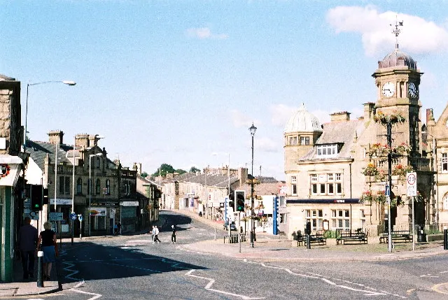 Great Harwood Town, Hyndburn District14 km NW
-
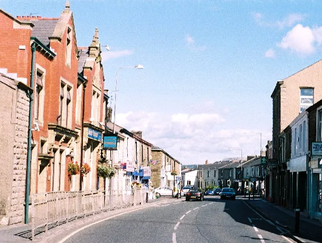 Rishton Town, Hyndburn District13 km NW
-
Pendle District Municipality, Lancashire22 km N
Sources & licences
Data last updated: