Wyre District
Located in Lancashire, England Coordinates: 53°55′00″ N 2°58′00″ W
- Population
- 110,261
- 110.3K
- Elevation
- 17 m
- above sea level
- Local time
- UTC+00:00
- Europe/London · UTC+00:00
- Places inside
- 46
- listed under Wyre District
About Wyre District
Wyre District is a municipality. Location: Lancashire, England. Population: 110,261. Elevation: 17 m.
In comparison
- No. 5 of 12 places in Lancashire by population
- Nearest larger town: Blackpool, 12 km SW
- 19 sights and natural places within 10 km St Bernard of Clairvaux Roman Catholic Church, River Wyre
- Listed here: Village: 23, Neighbourhood: 14, Attraction: 5, Town: 3
Airports nearest to Wyre District
- Liverpool John Lennon Airport (LPL) Liverpool 65 km
- Manchester Airport (MAN) Manchester, Greater Manchester 78 km
- Leeds Bradford Airport (LBA) Leeds, West Yorkshire 86 km
Straight-line distance; airports with scheduled flights only. Source: OurAirports (public domain).
Places in Wyre District
46 places-
Thornton-Cleveleys Town31.2K
-
Poulton-le-Fylde Town19.9K
-
Cleveleys Town15K
-
Barnacre-with-Bonds Village
-
Bleasdale Village
-
Burn Naze Neighbourhood
-
Burns Quarry Wood Natural site
-
Cabus Village
-
Carleton Village
-
Catterall Village
-
Claughton Village
-
Fleetwood Village
-
Forton Village
-
Garstang Village
-
Great Eccleston Village
-
Hambleton Village
-
Hardhorn Neighbourhood
-
Hardhorn Village Neighbourhood
-
High Cross Neighbourhood
-
Highfurlong Neighbourhood
-
Inskip-with-Sowerby Village
-
Kirkland Village
-
Little Poulton Neighbourhood
-
Myerscough and Bilsborrow Village
-
Nateby Village
-
Nether Wyresdale Village
-
Norcross Neighbourhood
-
Normoss Neighbourhood
-
Out Rawcliffe Village
-
Pheasant Wood Neighbourhood
-
Pilling Village
-
Preesall Village
-
Raikes Neighbourhood
-
Rossall Beach Neighbourhood
-
Skippool Neighbourhood
-
Stalmine-with-Staynall Village
-
Stanah Neighbourhood
-
St John Southworth Roman Catholic Church Attraction
-
St Nicholas Owen Roman Catholic Church Attraction
-
The English Martyrs Roman Catholic Church Attraction
-
Thornton Village
-
Trunnah Neighbourhood
-
Upper Rawcliffe-with-Tarnacre Village
-
Winmarleigh Village
Nearby attractions & nature
Everything nearby-
St Theresa Roman Catholic Church Attraction, Blackpool6.7 km SW
-
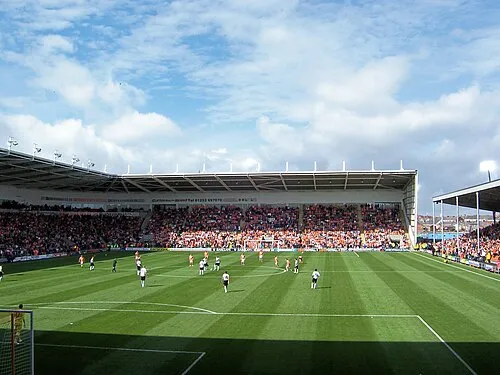 Bloomfield Road Landmark, Blackpool14 km SW
-
River Cocker River, England6.5 km NE
-
St Bernadette Roman Catholic Church Attraction, Blackpool8.5 km SW
-
Warbreck Hill Mountain, Blackpool9.9 km SW
-
Cockerham Lighthouse Landmark, Cockerham9 km NE
-
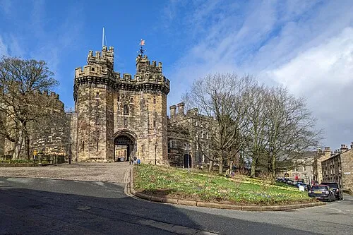 Lancaster Castle Historic site, Lancaster18 km NE
-
Christ the King Roman Catholic Church Attraction, Blackpool10 km S
Sources & licences
Data last updated: